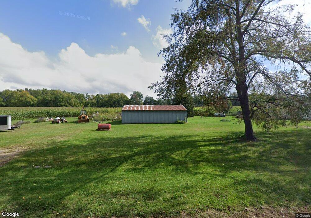
229 Ferguson Rd Quincy, MI 49082
Estimated Value: $124,883 - $316,000
3
Beds
2
Baths
1,404
Sq Ft
$142/Sq Ft
Est. Value
About This Home
This home is located at 229 Ferguson Rd, Quincy, MI 49082 and is currently estimated at $198,721, approximately $141 per square foot. 229 Ferguson Rd is a home located in Branch County with nearby schools including Jennings Elementary School, Quincy Middle School, and Quincy High School.
Ownership History
Date
Name
Owned For
Owner Type
Purchase Details
Closed on
Oct 20, 2005
Sold by
Snellenberger Cleo K
Bought by
Snellenberger Henry O
Current Estimated Value
Home Financials for this Owner
Home Financials are based on the most recent Mortgage that was taken out on this home.
Original Mortgage
$81,600
Outstanding Balance
$46,681
Interest Rate
6.87%
Mortgage Type
Fannie Mae Freddie Mac
Estimated Equity
$152,040
Purchase Details
Closed on
Sep 12, 2003
Sold by
Snellenberger Henry O and Snellenberger Gretche
Bought by
Snellenberger Cleo K
Purchase Details
Closed on
Oct 6, 1998
Create a Home Valuation Report for This Property
The Home Valuation Report is an in-depth analysis detailing your home's value as well as a comparison with similar homes in the area
Purchase History
We collect this data history from publicly available records. To have your information removed, we recommend requesting removal directly through your county’s website.
| Date | Buyer | Sale Price | Title Company |
|---|---|---|---|
| Snellenberger Henry O | $56,000 | Branch County Abstract & Tit | |
| Snellenberger Cleo K | -- | -- | |
| -- | $100 | -- |
Source: Public Records
Mortgage History
We collect this data history from publicly available records. To have your information removed, we recommend requesting removal directly through your county’s website.
| Date | Status | Borrower | Loan Amount |
|---|---|---|---|
| Open | Snellenberger Henry O | $81,600 |
Source: Public Records
Tax History
| Year | Tax Paid | Tax Assessment Tax Assessment Total Assessment is a certain percentage of the fair market value that is determined by local assessors to be the total taxable value of land and additions on the property. | Land | Improvement |
|---|---|---|---|---|
| 2025 | $1,168 | $48,771 | $0 | $0 |
| 2024 | $11 | $45,329 | $0 | $0 |
| 2023 | $406 | $41,115 | $0 | $0 |
| 2022 | $1,062 | $40,217 | $0 | $0 |
| 2020 | -- | $35,944 | $0 | $0 |
| 2019 | -- | $38,133 | $0 | $0 |
| 2018 | -- | $41,883 | $0 | $0 |
| 2017 | -- | $39,295 | $0 | $0 |
| 2016 | -- | $35,238 | $0 | $0 |
| 2015 | -- | $35,462 | $0 | $0 |
| 2014 | -- | $36,620 | $0 | $0 |
| 2013 | -- | $34,389 | $0 | $0 |
Source: Public Records
Map
Nearby Homes
- 0 Wildwood Rd
- 201 Wildwood Beach Rd
- 833 Crauns Ln
- 147 Dons Dr
- 181 Dons Dr
- 797 Middle Lake Dr
- 4111 Blair Rd
- 2831 Hemlock Rd
- 2498 Hemlock Rd
- 2743 Hemlock Rd
- 490 Kelley Rd
- 242 Bickford Dr
- 257 Edgewood Dr
- 2480 Bluff Dr
- 4205 Carol Dr
- 283 S Fremont Rd
- 3070 Lake Dr
- 2408 Spruce Dr
- 3185 Totem Trail
- 9222 Beech Dr
- 1100 Fisher Rd
- 1112 Fisher Rd
- 239 Ferguson Rd
- 1086 Fisher Rd
- 244 Ferguson Rd
- 1120 Fisher Rd
- 1120 Fisher Rd
- 1125 Fisher Rd
- 251 Ferguson Rd
- 1122 Fisher Rd
- 1122 Fisher Rd
- 1124 Fisher Rd
- 1130 Fisher Rd
- 1064 Fisher Rd
- 1055 Fisher Rd
- 1054 Fisher Rd
- 0 Fisher Rd
- 190 S Briggs Rd
- 1048 Fisher Rd
- 0 Fisher Rd Unit 62024019452
Your Personal Tour Guide
Ask me questions while you tour the home.