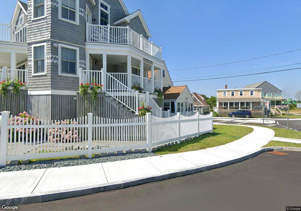
229 Ocean St Marshfield, MA 02050
Ocean Bluff-Brant Rock NeighborhoodEstimated Value: $442,000 - $699,000
2
Beds
1
Bath
966
Sq Ft
$536/Sq Ft
Est. Value
About This Home
This home is located at 229 Ocean St, Marshfield, MA 02050 and is currently estimated at $517,784, approximately $536 per square foot. 229 Ocean St is a home located in Plymouth County with nearby schools including Governor Edward Winslow School, Furnace Brook Middle School, and Marshfield High School.
Ownership History
Date
Name
Owned For
Owner Type
Purchase Details
Closed on
Nov 30, 1994
Sold by
Reynolds Paul J and Reynolds Joyce A
Bought by
Buckley Thomas J
Current Estimated Value
Purchase Details
Closed on
Jul 29, 1991
Sold by
Dallessandro Arthur J
Bought by
Reynolds Paul J and Reynolds Joyce A
Create a Home Valuation Report for This Property
The Home Valuation Report is an in-depth analysis detailing your home's value as well as a comparison with similar homes in the area
Home Values in the Area
Average Home Value in this Area
Purchase History
| Date | Buyer | Sale Price | Title Company |
|---|---|---|---|
| Buckley Thomas J | $105,000 | -- | |
| Buckley Thomas J | $105,000 | -- | |
| Reynolds Paul J | $93,000 | -- | |
| Reynolds Paul J | $93,000 | -- |
Source: Public Records
Mortgage History
| Date | Status | Borrower | Loan Amount |
|---|---|---|---|
| Open | Reynolds Paul J | $102,000 | |
| Closed | Reynolds Paul J | $107,000 |
Source: Public Records
Tax History
| Year | Tax Paid | Tax Assessment Tax Assessment Total Assessment is a certain percentage of the fair market value that is determined by local assessors to be the total taxable value of land and additions on the property. | Land | Improvement |
|---|---|---|---|---|
| 2025 | $3,187 | $321,900 | $160,200 | $161,700 |
| 2024 | $3,046 | $293,200 | $150,200 | $143,000 |
| 2023 | $2,744 | $254,900 | $135,200 | $119,700 |
| 2022 | $2,744 | $211,900 | $115,200 | $96,700 |
| 2021 | $2,672 | $202,600 | $110,200 | $92,400 |
| 2020 | $2,442 | $183,200 | $95,100 | $88,100 |
| 2019 | $2,395 | $179,000 | $95,100 | $83,900 |
| 2018 | $2,393 | $179,000 | $95,100 | $83,900 |
| 2017 | $2,269 | $165,400 | $90,100 | $75,300 |
| 2016 | $2,321 | $167,200 | $85,100 | $82,100 |
| 2015 | $2,222 | $167,200 | $85,100 | $82,100 |
| 2014 | $2,144 | $161,300 | $85,100 | $76,200 |
Source: Public Records
Map
Nearby Homes
- 221 Ocean St
- 217 Ocean St
- 215 Ocean St
- 227 Island St
- 227 Island St
- 207 Island St
- 215 Island St
- 219 Island St
- 211 Ocean St
- 223 Island St
- 0 Cove Unit 72027117
- 0 Cove Unit 72173851
- 0 Cove Unit 72477115
- 231 Island St
- 222 Island St
- 235 Ocean St
- 222 Ocean St
- 226 Ocean St Unit 1
- 226 Ocean St Unit 226
- 226 Ocean St
Your Personal Tour Guide
Ask me questions while you tour the home.