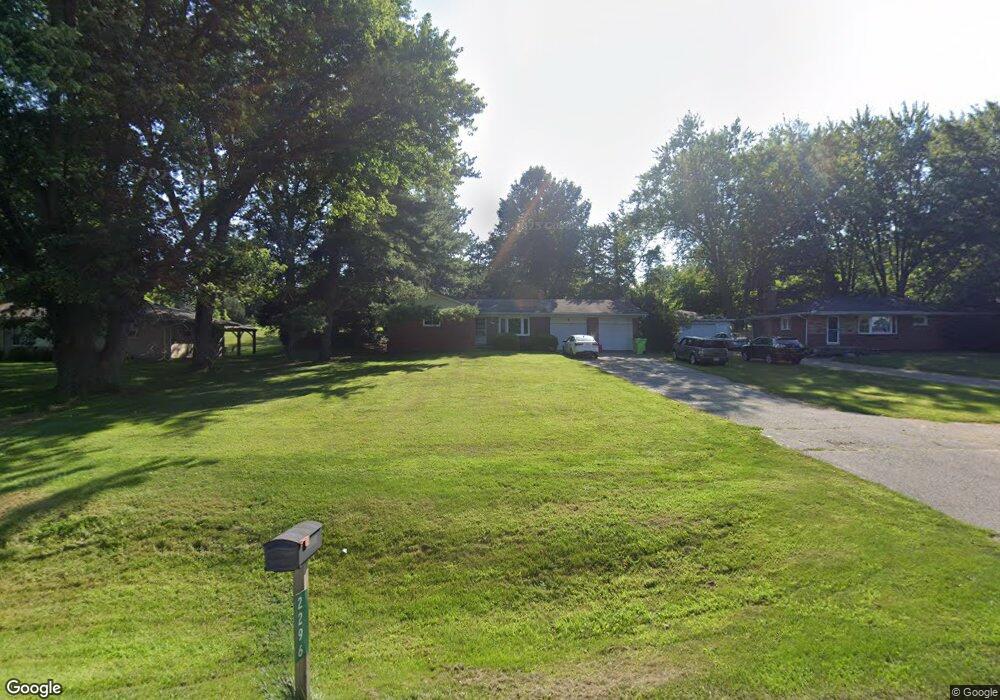
2296 Baker Rd Dexter, MI 48130
Estimated Value: $329,000 - $388,529
About This Home
This home is located at 2296 Baker Rd, Dexter, MI 48130 and is currently estimated at $359,382, approximately $310 per square foot. 2296 Baker Rd is a home located in Washtenaw County with nearby schools including Creekside Intermediate School, Bates Elementary School, and Anchor Elementary School.
Ownership History
We collect this data history from publicly available records. To have your information removed, we recommend requesting removal directly through your county’s website.
Purchase Details
Home Financials for this Owner
Home Financials are based on the most recent Mortgage that was taken out on this home.Purchase Details
Purchase Details
Home Values in the Area
Average Home Value in this Area
Purchase History
We collect this data history from publicly available records. To have your information removed, we recommend requesting removal directly through your county’s website.
| Date | Buyer | Sale Price | Title Company |
|---|---|---|---|
| $160,000 | Fiserv Lending Solutions | ||
| -- | -- | ||
| -- | -- |
Mortgage History
We collect this data history from publicly available records. To have your information removed, we recommend requesting removal directly through your county’s website.
| Date | Status | Borrower | Loan Amount |
|---|---|---|---|
| Open | $161,082 |
Tax History
We collect this data history from publicly available records. To have your information removed, we recommend requesting removal directly through your county’s website.
| Year | Tax Paid | Tax Assessment Tax Assessment Total Assessment is a certain percentage of the fair market value that is determined by local assessors to be the total taxable value of land and additions on the property. | Land | Improvement |
|---|---|---|---|---|
| 2025 | $1,627 | $196,500 | $0 | $0 |
| 2024 | $1,194 | $176,000 | $0 | $0 |
| 2023 | $1,137 | $138,700 | $0 | $0 |
| 2022 | $3,867 | $132,700 | $0 | $0 |
| 2021 | $3,659 | $130,700 | $0 | $0 |
| 2020 | $3,668 | $130,900 | $0 | $0 |
| 2019 | $3,510 | $123,100 | $123,100 | $0 |
| 2018 | $3,399 | $127,500 | $0 | $0 |
| 2017 | $3,252 | $111,600 | $0 | $0 |
| 2016 | $978 | $92,024 | $0 | $0 |
| 2015 | -- | $91,749 | $0 | $0 |
| 2014 | -- | $88,883 | $0 | $0 |
| 2013 | -- | $88,883 | $0 | $0 |
Map
- 2925 Baker Rd
- 610 Boardwalk Ln
- 7901 Grand St
- 624 Boardwalk Ln
- 630 Boardwalk Ln
- 7933 Grand St Unit 44
- 634 Boardwalk Ln
- 631 Woodland Dr Unit 65
- 3550 Cushing Ct
- 7512 Lake St
- 150 Jeffords Unit 102
- 150 Jeffords Unit 300
- 3558 Dover St
- 8180 Main St Unit 102
- 8180 Main St Unit 402
- 8180 Main St Unit 204
- 8180 Main St Unit 103
- 8180 Main St Unit 104
- 8180 Main St Unit 401
- 8180 Main St Unit 301
- 2290 Baker Rd
- 2336 Baker Rd
- 2264 Baker Rd
- 2366 Baker Rd
- 2250 Baker Rd
- 2376 Baker Rd
- 2357 Baker Rd
- 2367 Baker Rd
- 7836 Baker Heights Ct
- 7860 Baker Heights Ct
- 2222 Baker Rd
- 2309 Baker Rd
- 2323 Baker Rd
- 2201 Baker Rd
- 2385 Baker Rd
- 7812 Baker Heights Ct
- 8006 Kurtland Ct
- 2424 Baker Rd
- 7955 Shield Rd
- 7809 Baker Heights Ct
Ask me questions while you tour the home.