23 Ayers Rd Monson, MA 01057
Estimated Value: $432,918 - $526,000
4
Beds
2
Baths
1,836
Sq Ft
$266/Sq Ft
Est. Value
About This Home
This home is located at 23 Ayers Rd, Monson, MA 01057 and is currently estimated at $487,730, approximately $265 per square foot. 23 Ayers Rd is a home located in Hampden County with nearby schools including Quarry Hill Community School, Granite Valley School, and Monson High School.
Ownership History
Date
Name
Owned For
Owner Type
Purchase Details
Closed on
Aug 12, 2004
Sold by
Smart Teresa M and Smart Thomas D
Bought by
Yesu Edmund N and Yesu Lynn M
Current Estimated Value
Home Financials for this Owner
Home Financials are based on the most recent Mortgage that was taken out on this home.
Original Mortgage
$229,500
Outstanding Balance
$115,013
Interest Rate
6.16%
Mortgage Type
Purchase Money Mortgage
Estimated Equity
$372,717
Create a Home Valuation Report for This Property
The Home Valuation Report is an in-depth analysis detailing your home's value as well as a comparison with similar homes in the area
Home Values in the Area
Average Home Value in this Area
Purchase History
| Date | Buyer | Sale Price | Title Company |
|---|---|---|---|
| Yesu Edmund N | $270,000 | -- |
Source: Public Records
Mortgage History
| Date | Status | Borrower | Loan Amount |
|---|---|---|---|
| Open | Yesu Edmund N | $229,500 |
Source: Public Records
Tax History
| Year | Tax Paid | Tax Assessment Tax Assessment Total Assessment is a certain percentage of the fair market value that is determined by local assessors to be the total taxable value of land and additions on the property. | Land | Improvement |
|---|---|---|---|---|
| 2025 | $6,431 | $432,500 | $69,700 | $362,800 |
| 2024 | $6,220 | $401,300 | $69,700 | $331,600 |
| 2023 | $5,718 | $360,500 | $69,700 | $290,800 |
| 2022 | $5,451 | $305,700 | $69,700 | $236,000 |
| 2021 | $5,084 | $280,600 | $69,700 | $210,900 |
| 2020 | $5,127 | $280,600 | $69,700 | $210,900 |
| 2019 | $4,893 | $266,800 | $69,700 | $197,100 |
| 2018 | $4,662 | $264,900 | $77,100 | $187,800 |
| 2017 | $4,436 | $254,800 | $73,900 | $180,900 |
| 2016 | $4,535 | $264,900 | $74,000 | $190,900 |
| 2015 | $4,127 | $247,600 | $74,000 | $173,600 |
| 2014 | $4,011 | $247,600 | $74,000 | $173,600 |
Source: Public Records
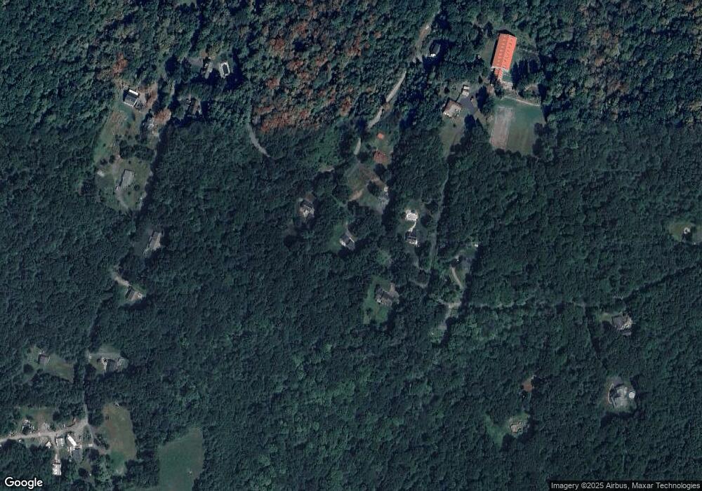
Map
Nearby Homes
- 96 Stafford Hollow Rd
- 57 Broadway Rd
- 51 Crow Hill Rd
- 127 Munn Rd
- 262 Hydeville Rd
- 151 Wales Rd
- 21 Ash Ln
- 24 Dunay Rd
- 9 calle NW
- 9 calle 8-95 Zona11
- 9 Calle 8-92 Zona 11
- 0 Mccray Cir
- 118 Lake Shore Blvd
- 514 Old County Rd
- 508 Old County Rd
- 91 Old Monson Rd
- 4 Stewart Ave
- 31 Lake Shore Blvd
- 77 Old Monson Rd
- 24 Lake Shore Blvd
Your Personal Tour Guide
Ask me questions while you tour the home.