23 Cape Cod Dr Blackwood, NJ 08012
Estimated Value: $367,000 - $418,000
Studio
--
Bath
1,836
Sq Ft
$214/Sq Ft
Est. Value
About This Home
This home is located at 23 Cape Cod Dr, Blackwood, NJ 08012 and is currently estimated at $392,507, approximately $213 per square foot. 23 Cape Cod Dr is a home located in Gloucester County with nearby schools including Washington Township High School, Wedgwood Elementary School, and Chestnut Ridge Midle School.
Ownership History
Date
Name
Owned For
Owner Type
Purchase Details
Closed on
Mar 23, 2000
Sold by
Lesko Patricia M
Bought by
Conti Ronald and Rangel Stephanie
Current Estimated Value
Home Financials for this Owner
Home Financials are based on the most recent Mortgage that was taken out on this home.
Original Mortgage
$106,945
Outstanding Balance
$36,532
Interest Rate
8.4%
Mortgage Type
FHA
Estimated Equity
$355,975
Create a Home Valuation Report for This Property
The Home Valuation Report is an in-depth analysis detailing your home's value as well as a comparison with similar homes in the area
Home Values in the Area
Average Home Value in this Area
Purchase History
| Date | Buyer | Sale Price | Title Company |
|---|---|---|---|
| Conti Ronald | $107,000 | Fidelity National Title Ins |
Source: Public Records
Mortgage History
| Date | Status | Borrower | Loan Amount |
|---|---|---|---|
| Open | Conti Ronald | $106,945 |
Source: Public Records
Tax History
| Year | Tax Paid | Tax Assessment Tax Assessment Total Assessment is a certain percentage of the fair market value that is determined by local assessors to be the total taxable value of land and additions on the property. | Land | Improvement |
|---|---|---|---|---|
| 2025 | $8,252 | $223,100 | $51,200 | $171,900 |
| 2024 | $8,020 | $223,100 | $51,200 | $171,900 |
| 2023 | $8,020 | $223,100 | $51,200 | $171,900 |
| 2022 | $7,757 | $223,100 | $51,200 | $171,900 |
| 2021 | $5,715 | $223,100 | $51,200 | $171,900 |
| 2020 | $7,543 | $223,100 | $51,200 | $171,900 |
| 2019 | $7,122 | $195,400 | $31,200 | $164,200 |
| 2018 | $7,042 | $195,400 | $31,200 | $164,200 |
| 2017 | $6,954 | $195,400 | $31,200 | $164,200 |
| 2016 | $6,913 | $195,400 | $31,200 | $164,200 |
| 2015 | $6,816 | $195,400 | $31,200 | $164,200 |
| 2014 | $6,601 | $195,400 | $31,200 | $164,200 |
Source: Public Records
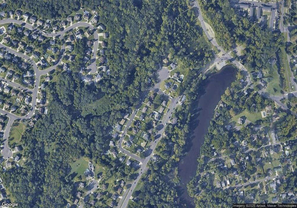
Map
Nearby Homes
- 60 Chapel Dr
- 114 Azalea Dr
- 225 Lakeside Ave
- 112 W Railroad Ave
- 276 Glenn Ave
- 415 Hamilton Ave
- 48 Farrier Ave
- 257 Crestview Ave
- 3016 County House Rd
- 216 Almonesson Rd
- 436 Rankin Ave
- 81 Southwind Dr
- 17 Southwind Dr
- 15 Southwind Dr
- 49 Southwind Dr
- 322 E Church St
- 428 Pine Ave
- 318 E Church St
- 415 Almonesson Rd
- 747 -745 Valley Green Ave
- 21 Cape Cod Dr
- 25 Cape Cod Dr
- 2004 Barnsboro Rd
- 2002 Barnsboro Rd
- 19 Cape Cod Dr
- 2006 Barnsboro Rd
- 2008 Barnsboro Rd
- 20 Cape Cod Dr
- 17 Cape Cod Dr
- 28 Cape Cod Dr
- 42 Cape Cod Dr
- 2010 Barnsboro Rd
- 18 Cape Cod Dr
- 40 Cape Cod Dr
- 15 Cape Cod Dr
- 30 Cape Cod Dr
- 2005 Barnsboro Rd
- 2012 Barnsboro Rd
- 16 Cape Cod Dr
- 2007 Barnsboro Rd
Your Personal Tour Guide
Ask me questions while you tour the home.