23 Perry Ln New Gloucester, ME 04260
Estimated Value: $390,000 - $496,007
About This Home
This home is located at 23 Perry Ln, New Gloucester, ME 04260 and is currently estimated at $468,002, approximately $257 per square foot. 23 Perry Ln is a home located in Cumberland County with nearby schools including Gray-New Gloucester High School.
Ownership History
We collect this data history from publicly available records. To have your information removed, we recommend requesting removal directly through your county’s website.
Purchase Details
Home Financials for this Owner
Home Financials are based on the most recent Mortgage that was taken out on this home.Home Values in the Area
Average Home Value in this Area
Purchase History
We collect this data history from publicly available records. To have your information removed, we recommend requesting removal directly through your county’s website.
| Date | Buyer | Sale Price | Title Company |
|---|---|---|---|
| -- | -- |
Mortgage History
We collect this data history from publicly available records. To have your information removed, we recommend requesting removal directly through your county’s website.
| Date | Status | Borrower | Loan Amount |
|---|---|---|---|
| Open | $192,000 | ||
| Closed | $35,900 |
Tax History
We collect this data history from publicly available records. To have your information removed, we recommend requesting removal directly through your county’s website.
| Year | Tax Paid | Tax Assessment Tax Assessment Total Assessment is a certain percentage of the fair market value that is determined by local assessors to be the total taxable value of land and additions on the property. | Land | Improvement |
|---|---|---|---|---|
| 2025 | $4,083 | $263,960 | $85,221 | $178,739 |
| 2024 | $3,930 | $263,960 | $85,221 | $178,739 |
| 2023 | $3,772 | $263,960 | $85,221 | $178,739 |
| 2022 | $3,643 | $263,960 | $85,221 | $178,739 |
| 2021 | $3,643 | $263,960 | $85,221 | $178,739 |
| 2020 | $3,603 | $263,960 | $85,221 | $178,739 |
| 2019 | $3,600 | $213,000 | $66,800 | $146,200 |
| 2018 | $3,365 | $213,000 | $66,800 | $146,200 |
| 2017 | $3,323 | $213,000 | $66,800 | $146,200 |
| 2016 | $3,131 | $213,000 | $66,800 | $146,200 |
| 2015 | $3,120 | $213,000 | $66,800 | $146,200 |
| 2014 | $3,089 | $213,000 | $66,800 | $146,200 |
| 2013 | $2,865 | $213,000 | $66,800 | $146,200 |
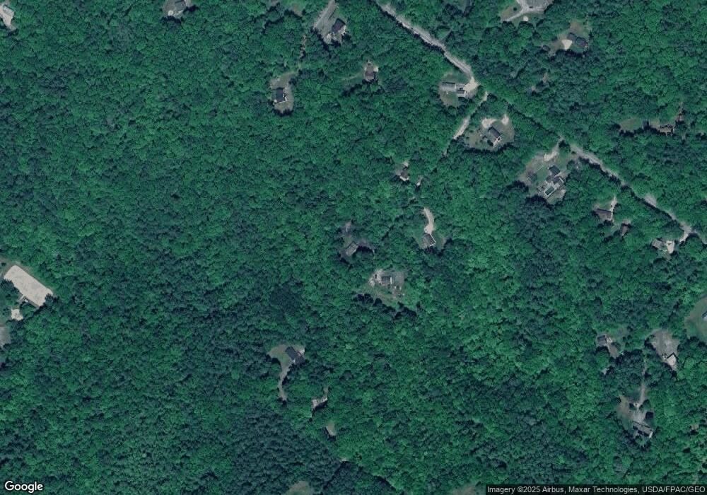
Map
- 10 Briarwood Dr
- 49 Megquier Rd
- 270 Mayall Rd
- 16 Old Mill Rd
- 155 & 151 Gloucester Hill Rd
- 123 Lewiston Rd
- 7 Roman Woods Way
- 55 Blueberry Ln
- 4 Divot Dr
- 48 Blueberry Ln
- 410 Intervale Rd
- 52 Colley Hill Rd
- 23 Callaway Dr Unit 23
- 48A Colley Hill Rd
- M20/21/311 Shaw Brook Ln
- 0 Colley Hill Rd
- 1 Colley Hill Rd Unit A
- 3 Spiro Ave
- 16 Mayall Rd
- 224 Shaker Rd
- 20 Perry Ln
- 16 Perry Ln
- 15 Perry Ln
- 27 Wildwood Ln
- 23 Wildwood Ln
- 169 Town Farm Rd
- 191 Town Farm Rd
- 181 Town Farm Rd
- 187 Town Farm
- 203 Town Farm Rd
- 167 Town Farm Rd
- 211 Town Farm Rd
- 149 Town Farm Rd
- 8 Wildwood Ln
- 50 Chestnut Common
- 9 Wildwood Ln
- 24 Wildwood Ln
- 14 Short Dirt Rd
- 139 Town Farm Rd
- Lot1 Town Farm Rd
Ask me questions while you tour the home.