230 Hook Rd Locust Grove, OK 74352
Estimated Value: $113,367 - $211,000
4
Beds
2
Baths
1,444
Sq Ft
$110/Sq Ft
Est. Value
About This Home
This home is located at 230 Hook Rd, Locust Grove, OK 74352 and is currently estimated at $158,592, approximately $109 per square foot. 230 Hook Rd is a home located in Mayes County with nearby schools including Locust Grove Early Lrning Center, Locust Grove Upper Elementary School, and Locust Grove Middle School.
Ownership History
Date
Name
Owned For
Owner Type
Purchase Details
Closed on
Jan 15, 2021
Sold by
Jackson Mary and Champlain Mary
Bought by
Edwards Elizabeth
Current Estimated Value
Purchase Details
Closed on
Jan 12, 2010
Sold by
Secretary Of Va
Bought by
Champlain Robert Bradley and Champlain Mary Susann
Home Financials for this Owner
Home Financials are based on the most recent Mortgage that was taken out on this home.
Original Mortgage
$30,388
Interest Rate
4.98%
Mortgage Type
Purchase Money Mortgage
Create a Home Valuation Report for This Property
The Home Valuation Report is an in-depth analysis detailing your home's value as well as a comparison with similar homes in the area
Purchase History
| Date | Buyer | Sale Price | Title Company |
|---|---|---|---|
| Edwards Elizabeth | -- | None Available | |
| Champlain Robert Bradley | -- | Oklahoma Reo Closing & Title |
Source: Public Records
Mortgage History
| Date | Status | Borrower | Loan Amount |
|---|---|---|---|
| Previous Owner | Champlain Robert Bradley | $30,388 |
Source: Public Records
Tax History
| Year | Tax Paid | Tax Assessment Tax Assessment Total Assessment is a certain percentage of the fair market value that is determined by local assessors to be the total taxable value of land and additions on the property. | Land | Improvement |
|---|---|---|---|---|
| 2025 | $593 | $6,386 | $1,052 | $5,334 |
| 2023 | $566 | $5,793 | $978 | $4,815 |
| 2022 | $498 | $5,518 | $950 | $4,568 |
| 2021 | $392 | $5,255 | $911 | $4,344 |
| 2020 | $384 | $5,101 | $888 | $4,213 |
| 2019 | $370 | $4,953 | $857 | $4,096 |
| 2018 | $378 | $4,953 | $857 | $4,096 |
| 2017 | $378 | $4,953 | $857 | $4,096 |
| 2016 | $369 | $4,953 | $857 | $4,096 |
| 2015 | $381 | $4,953 | $857 | $4,096 |
| 2014 | $381 | $4,953 | $857 | $4,096 |
Source: Public Records
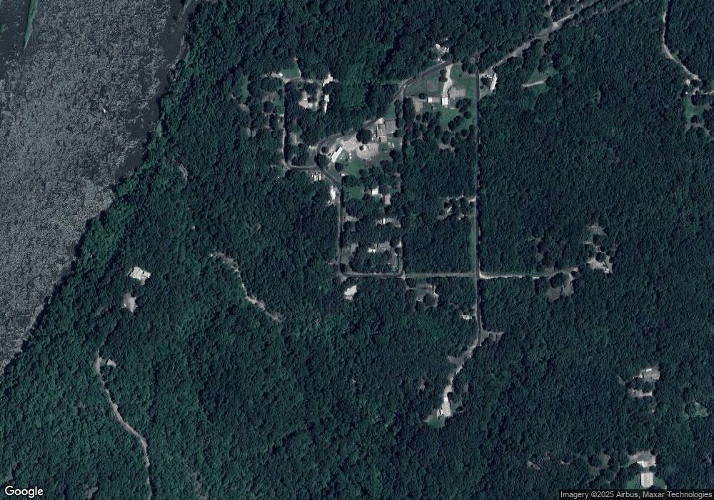
Map
Nearby Homes
- 0 N 435 Rd Unit 2602770
- 0 N 435 Rd Unit 2602754
- 0 N 435 Rd Unit 2602767
- 0 N 435 Rd Unit 2545167
- 471 S 437
- 9838 S 4392
- 207 Orange St
- 0 Orange St
- 2596 E 599
- 2788 E 599
- 0 Peach St
- 303 N Wyandotte
- 1 W Ross St
- 01 W Ross St
- 8670 S 4468 Ln
- 2365 Deer Run
- 8604 S County Road 4468
- 306 N Water St
- 0 S 043 Rd Unit 2607531
- 8782 S 432
Your Personal Tour Guide
Ask me questions while you tour the home.