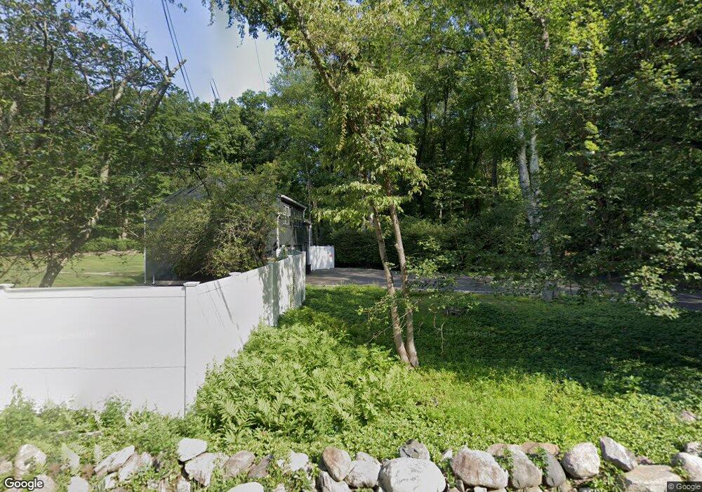
230 Sharp Hill Rd Wilton, CT 06897
Estimated Value: $2,216,306 - $2,607,000
About This Home
This home is located at 230 Sharp Hill Rd, Wilton, CT 06897 and is currently estimated at $2,432,827, approximately $479 per square foot. 230 Sharp Hill Rd is a home located in Fairfield County with nearby schools including Miller-Driscoll School, Cider Mill School, and Middlebrook School.
Ownership History
We collect this data history from publicly available records. To have your information removed, we recommend requesting removal directly through your county’s website.
Purchase Details
Purchase Details
Purchase Details
Home Values in the Area
Average Home Value in this Area
Purchase History
We collect this data history from publicly available records. To have your information removed, we recommend requesting removal directly through your county’s website.
| Date | Buyer | Sale Price | Title Company |
|---|---|---|---|
| $1,450,000 | -- | ||
| $450,000 | -- | ||
| $350,000 | -- |
Mortgage History
We collect this data history from publicly available records. To have your information removed, we recommend requesting removal directly through your county’s website.
| Date | Status | Borrower | Loan Amount |
|---|---|---|---|
| Open | $985,700 | ||
| Closed | $1,400,000 | ||
| Closed | $1,475,000 |
Tax History
We collect this data history from publicly available records. To have your information removed, we recommend requesting removal directly through your county’s website.
| Year | Tax Paid | Tax Assessment Tax Assessment Total Assessment is a certain percentage of the fair market value that is determined by local assessors to be the total taxable value of land and additions on the property. | Land | Improvement |
|---|---|---|---|---|
| 2025 | $30,413 | $1,245,930 | $300,020 | $945,910 |
| 2024 | $29,828 | $1,245,930 | $300,020 | $945,910 |
| 2023 | $34,299 | $936,670 | $278,460 | $658,210 |
| 2022 | $26,442 | $936,670 | $278,460 | $658,210 |
| 2021 | $7,530 | $936,670 | $278,460 | $658,210 |
| 2020 | $25,721 | $936,670 | $278,460 | $658,210 |
| 2019 | $7,102 | $936,670 | $278,460 | $658,210 |
| 2018 | $28,398 | $1,007,370 | $292,390 | $714,980 |
| 2017 | $7,138 | $1,007,370 | $292,390 | $714,980 |
| 2016 | $27,541 | $1,007,370 | $292,390 | $714,980 |
| 2015 | $27,028 | $1,007,370 | $292,390 | $714,980 |
| 2014 | $26,705 | $1,007,370 | $292,390 | $714,980 |
Map
- 12 Brandon Cir
- 74 Hurlbutt St
- 125 Skunk Ln
- 9 Banks Dr
- 39 Powder Horn Hill Rd
- 137 Sturges Ridge Rd
- 34 Powder Horn Hill Rd
- 96 Old Hwy
- 43 Twin Oak Ln
- 20 Cherry Ln
- 29 Spruce Dr
- 74 Raymond Ln
- 0 Cobbs Mill Rd
- 42 Old Hwy
- 115 Pine Ridge Rd
- 18 Deerfield Rd
- 21 Old Hwy
- 20 Wicks End Ln
- 293 Sturges Ridge Rd
- 8 Gaylord Dr S
- 224 Sharp Hill Rd
- 147 Hurlbutt St
- 202 Sharp Hill Rd
- 152 Hurlbutt St
- 138 Hurlbutt St
- 161 Hurlbutt St
- 158 Hurlbutt St
- 240 Sharp Hill Rd
- 204 Sharp Hill Rd
- 221 Sharp Hill Rd
- 208 Sharp Hill Rd
- 132 Hurlbutt St
- 231 Sharp Hill Rd
- 162 Hurlbutt St
- 142 Hurlbutt St
- 150 Hurlbutt St
- 169 Hurlbutt St
- 123 Hurlbutt St
- 126 Hurlbutt St
- 42 Buckingham Ridge Rd
Ask me questions while you tour the home.