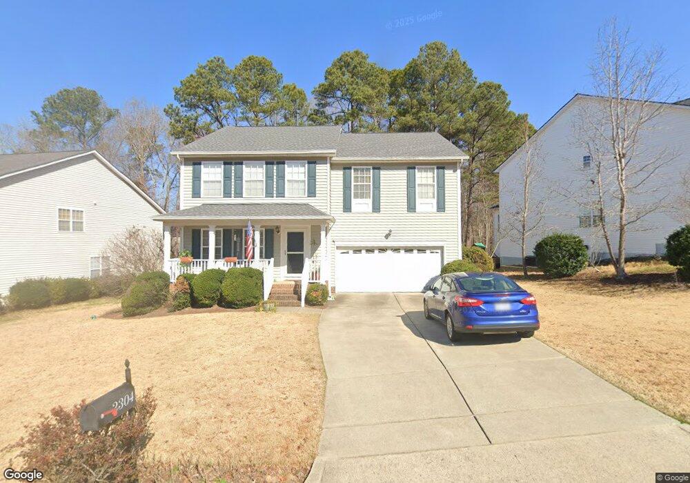
2304 Pilot Mountain Ct Apex, NC 27502
West Apex NeighborhoodEstimated Value: $543,000 - $602,000
About This Home
This home is located at 2304 Pilot Mountain Ct, Apex, NC 27502 and is currently estimated at $569,928, approximately $216 per square foot. 2304 Pilot Mountain Ct is a home located in Wake County with nearby schools including Scotts Ridge Elementary School, Apex Friendship Middle School, and Apex Friendship High School.
Ownership History
We collect this data history from publicly available records. To have your information removed, we recommend requesting removal directly through your county’s website.
Purchase Details
Home Financials for this Owner
Home Financials are based on the most recent Mortgage that was taken out on this home.Home Values in the Area
Average Home Value in this Area
Purchase History
We collect this data history from publicly available records. To have your information removed, we recommend requesting removal directly through your county’s website.
| Date | Buyer | Sale Price | Title Company |
|---|---|---|---|
| $208,500 | -- |
Mortgage History
We collect this data history from publicly available records. To have your information removed, we recommend requesting removal directly through your county’s website.
| Date | Status | Borrower | Loan Amount |
|---|---|---|---|
| Open | $197,800 |
Tax History
We collect this data history from publicly available records. To have your information removed, we recommend requesting removal directly through your county’s website.
| Year | Tax Paid | Tax Assessment Tax Assessment Total Assessment is a certain percentage of the fair market value that is determined by local assessors to be the total taxable value of land and additions on the property. | Land | Improvement |
|---|---|---|---|---|
| 2025 | $4,645 | $529,767 | $145,000 | $384,767 |
| 2024 | $4,542 | $529,767 | $145,000 | $384,767 |
| 2023 | $3,886 | $352,426 | $85,000 | $267,426 |
| 2022 | $3,648 | $352,426 | $85,000 | $267,426 |
| 2021 | $3,509 | $352,426 | $85,000 | $267,426 |
| 2020 | $3,474 | $352,426 | $85,000 | $267,426 |
| 2019 | $3,258 | $285,141 | $80,000 | $205,141 |
| 2018 | $3,069 | $285,141 | $80,000 | $205,141 |
| 2017 | $2,857 | $285,141 | $80,000 | $205,141 |
| 2016 | $2,816 | $285,141 | $80,000 | $205,141 |
| 2015 | $2,727 | $269,444 | $48,000 | $221,444 |
| 2014 | $2,628 | $269,444 | $48,000 | $221,444 |
Map
- 7104 Camp Branch Ln
- 2077 Eva Pearl Dr
- 2051 Eva Pearl Dr
- 1950 Menet St
- 2514 Tuffeto Trace
- 2135 Leo Dr
- 2523 Tuffeto Trace
- 1048 Mica Lamp Ct
- 2011 Becca Ct
- 1814 Alpine Summer Ln
- 1836 Alpine Summer Ln
- 7108 Beaver Trail
- 1047 Mica Lamp Ct
- 1020 Bungalow Park Dr
- 1968 Fahey Dr
- 1050 Milk Paint Aly
- 2377 Terrmini Dr
- 1809 Barrett Run Trail
- 1008 Scotts Ridge Trail
- 2600 Veneto Place
- 2300 Pilot Mountain Ct
- 2306 Pilot Mountain Ct
- 2204 Pilot Mountain Ct
- 2308 Pilot Mountain Ct
- 2202 Pilot Mountain Ct
- 2301 Pilot Mountain Ct
- 2305 Pilot Mountain Ct
- 2303 Pilot Mountain Ct
- 2310 Pilot Mountain Ct
- 2317 Brasstown Ln
- 2319 Brasstown Ln
- 2001 Himalaya Way
- 2120 Pilot Mountain Ct
- 2309 Pilot Mountain Ct
- 2315 Brasstown Ln
- 2321 Brasstown Ln
- 2312 Pilot Mountain Ct
- 2118 Pilot Mountain Ct
- 2002 Himalaya Way
- 2311 Pilot Mountain Ct
Ask me questions while you tour the home.