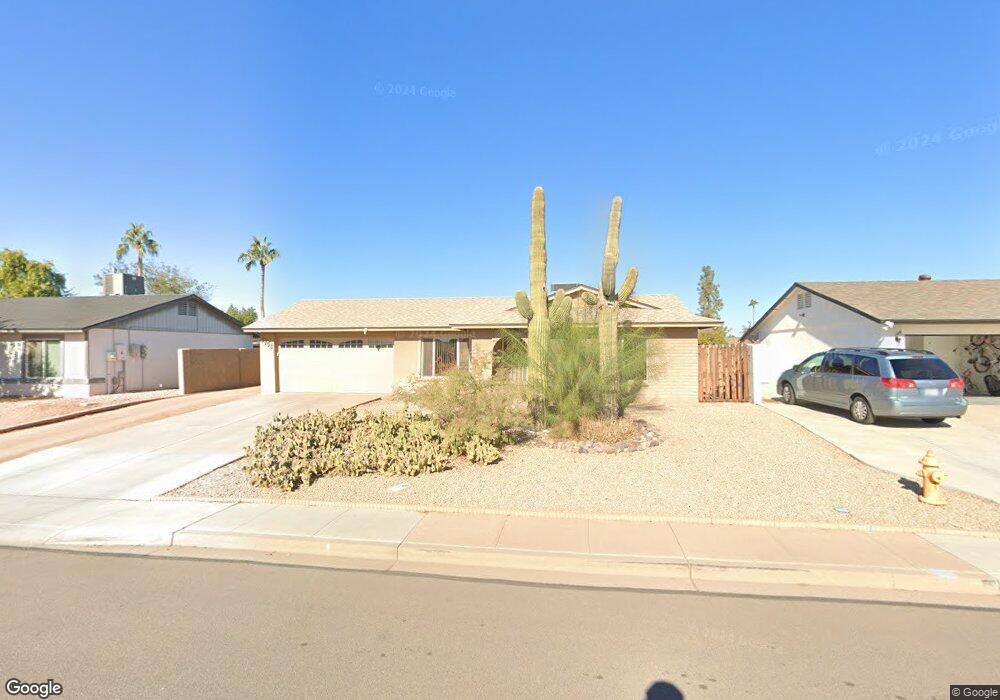
2308 W Colt Rd Chandler, AZ 85224
Central Ridge NeighborhoodEstimated Value: $334,657 - $430,000
Studio
1
Bath
885
Sq Ft
$432/Sq Ft
Est. Value
About This Home
This home is located at 2308 W Colt Rd, Chandler, AZ 85224 and is currently estimated at $381,914, approximately $431 per square foot. 2308 W Colt Rd is a home located in Maricopa County with nearby schools including Pomeroy Elementary School, Franklin at Brimhall Elementary School, and Franklin Accelerated Academy Jordan Campus.
Ownership History
Date
Name
Owned For
Owner Type
Purchase Details
Closed on
May 30, 1997
Sold by
Gaustad Jon and Gaustad Brenda
Bought by
Randall Robert R
Current Estimated Value
Home Financials for this Owner
Home Financials are based on the most recent Mortgage that was taken out on this home.
Original Mortgage
$87,883
Outstanding Balance
$12,739
Interest Rate
8.13%
Mortgage Type
FHA
Estimated Equity
$369,175
Create a Home Valuation Report for This Property
The Home Valuation Report is an in-depth analysis detailing your home's value as well as a comparison with similar homes in the area
Home Values in the Area
Average Home Value in this Area
Purchase History
| Date | Buyer | Sale Price | Title Company |
|---|---|---|---|
| Randall Robert R | $88,500 | Equity Title Agency |
Source: Public Records
Mortgage History
| Date | Status | Borrower | Loan Amount |
|---|---|---|---|
| Open | Randall Robert R | $87,883 |
Source: Public Records
Tax History
| Year | Tax Paid | Tax Assessment Tax Assessment Total Assessment is a certain percentage of the fair market value that is determined by local assessors to be the total taxable value of land and additions on the property. | Land | Improvement |
|---|---|---|---|---|
| 2025 | $1,054 | $12,361 | -- | -- |
| 2024 | $1,064 | $11,772 | -- | -- |
| 2023 | $1,064 | $27,720 | $5,540 | $22,180 |
| 2022 | $1,035 | $20,310 | $4,060 | $16,250 |
| 2021 | $1,041 | $18,770 | $3,750 | $15,020 |
| 2020 | $1,029 | $16,610 | $3,320 | $13,290 |
| 2019 | $948 | $14,980 | $2,990 | $11,990 |
| 2018 | $920 | $13,310 | $2,660 | $10,650 |
| 2017 | $885 | $12,100 | $2,420 | $9,680 |
| 2016 | $866 | $11,110 | $2,220 | $8,890 |
| 2015 | $815 | $9,970 | $1,990 | $7,980 |
Source: Public Records
Map
Nearby Homes
- 2200 N Los Altos Dr
- 2431 W Los Arboles Place
- 2451 W Los Arboles Place
- 2304 W Palomino Dr
- 2218 W Palomino Dr
- 2050 N 90th Place
- 2050 N 90th Place Unit 21
- 2103 W Palomino Dr
- 2414 W Barrow Dr
- 1647 N Bullmoose Dr
- 2115 W Shawnee Dr
- 2019 W Lemon Tree Place Unit 1115
- 2019 W Lemon Tree Place Unit 1160
- 2019 W Lemon Tree Place Unit 1108
- 2711 W Highland St
- 2100 W Lemon Tree Place Unit 60
- 2100 W Lemon Tree Place Unit 3
- 1625 N Tamarisk Dr
- 1825 W Rosal Dr
- 2724 W Gila Ln
- 2306 W Colt Rd
- 2109 N Los Altos Dr
- 2304 W Colt Rd
- 2312 W Colt Rd
- 2311 W Colt Rd
- 2105 N Los Altos Dr
- 2111 N Los Altos Dr
- 2313 W Colt Rd
- 2302 W Colt Rd
- 2113 N Los Altos Dr
- 2314 W Colt Rd
- 2315 W Colt Rd
- 2309 W Colt Rd
- 2303 W Colt Rd
- 2101 N Los Altos Dr
- 2115 N Los Altos Dr
- 2113 N Bullmoose Dr
- 2106 N Los Altos Dr
- 2108 N Los Altos Dr
Your Personal Tour Guide
Ask me questions while you tour the home.