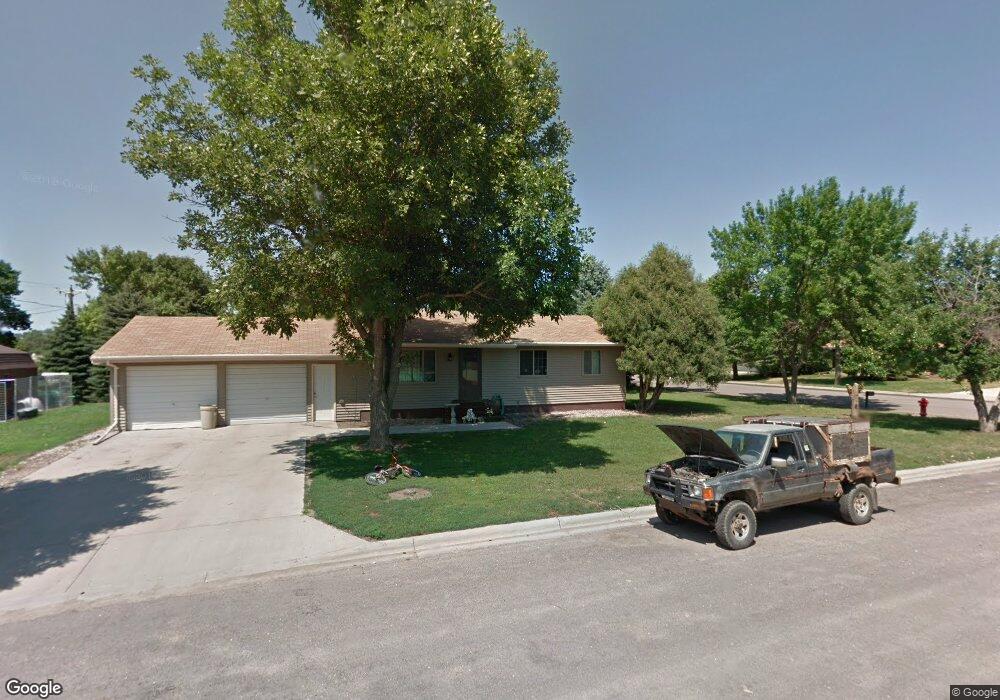
231 E 11th Ave Groton, SD 57445
Estimated Value: $203,326 - $234,000
2
Beds
--
Bath
1,264
Sq Ft
$172/Sq Ft
Est. Value
About This Home
This home is located at 231 E 11th Ave, Groton, SD 57445 and is currently estimated at $217,582, approximately $172 per square foot. 231 E 11th Ave is a home with nearby schools including Groton Area Elementary School and Groton Area High School.
Ownership History
Date
Name
Owned For
Owner Type
Purchase Details
Closed on
Sep 28, 2006
Sold by
Locke Rose Marie and Locke Rose
Bought by
Locke Darren J and Lock Lisa M
Current Estimated Value
Home Financials for this Owner
Home Financials are based on the most recent Mortgage that was taken out on this home.
Original Mortgage
$125,000
Outstanding Balance
$74,699
Interest Rate
6.58%
Mortgage Type
New Conventional
Estimated Equity
$142,883
Create a Home Valuation Report for This Property
The Home Valuation Report is an in-depth analysis detailing your home's value as well as a comparison with similar homes in the area
Purchase History
| Date | Buyer | Sale Price | Title Company |
|---|---|---|---|
| Locke Darren J | $125,000 | None Available |
Source: Public Records
Mortgage History
| Date | Status | Borrower | Loan Amount |
|---|---|---|---|
| Open | Locke Darren J | $125,000 |
Source: Public Records
Tax History
| Year | Tax Paid | Tax Assessment Tax Assessment Total Assessment is a certain percentage of the fair market value that is determined by local assessors to be the total taxable value of land and additions on the property. | Land | Improvement |
|---|---|---|---|---|
| 2025 | $2,926 | $179,436 | $18,638 | $160,798 |
| 2024 | $2,897 | $166,324 | $17,040 | $149,284 |
| 2023 | $2,649 | $161,890 | $17,040 | $144,850 |
| 2022 | $2,401 | $159,497 | $23,515 | $135,982 |
| 2021 | $2,357 | $139,149 | $19,426 | $119,723 |
| 2020 | $2,338 | $136,082 | $19,426 | $116,656 |
| 2019 | $2,304 | $131,118 | $19,426 | $111,692 |
| 2018 | $2,182 | $126,154 | $19,426 | $106,728 |
| 2017 | -- | $123,890 | $18,403 | $105,487 |
| 2016 | -- | $120,167 | $0 | $120,167 |
| 2015 | -- | $114,492 | $0 | $114,492 |
| 2014 | -- | $114,492 | $0 | $114,492 |
| 2011 | -- | $108,358 | $0 | $0 |
Source: Public Records
Map
Nearby Homes
- 502 N Broadway St
- Lot 2 Kolker Second Subd
- Lot 1 Kolker Second Subd
- 128th Street
- 12754 Tacoma Loop
- 13552 394th Ave
- 35 E Campbell Ave
- 451 E Campbell Ave
- 71 E Campbell Ave
- 301 Rondell Ave
- 401 Rondell Ave
- 809 S Willet St
- 817 S Willet St
- 910 Willet St
- 802 S Willet St
- 808 S Willet St
- 818 S Willet St
- 920 Willet St
- 811 S Ibis St
- 906 S Ibis St
Your Personal Tour Guide
Ask me questions while you tour the home.