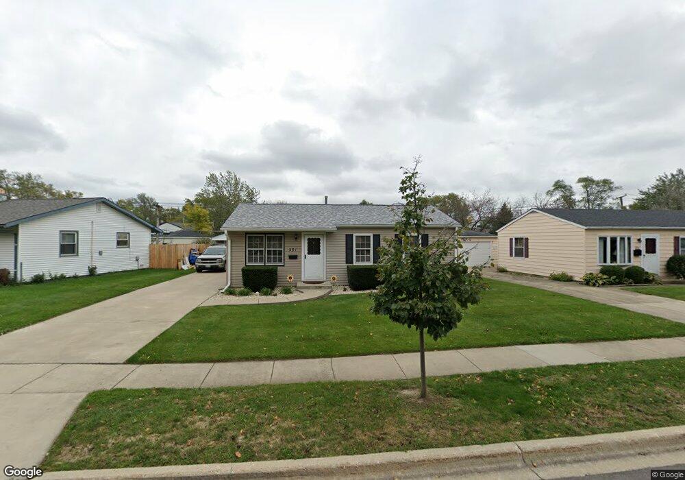
231 E Streamwood Blvd Unit 2 Streamwood, IL 60107
Estimated Value: $273,861 - $303,000
3
Beds
1
Bath
913
Sq Ft
$322/Sq Ft
Est. Value
About This Home
This home is located at 231 E Streamwood Blvd Unit 2, Streamwood, IL 60107 and is currently estimated at $293,715, approximately $321 per square foot. 231 E Streamwood Blvd Unit 2 is a home located in Cook County with nearby schools including Oakhill Elementary School, Canton Middle School, and Streamwood High School.
Ownership History
Date
Name
Owned For
Owner Type
Purchase Details
Closed on
Nov 5, 2010
Sold by
Koath Linda J and Koath William
Bought by
Arrasate Mark A
Current Estimated Value
Home Financials for this Owner
Home Financials are based on the most recent Mortgage that was taken out on this home.
Original Mortgage
$125,631
Outstanding Balance
$82,337
Interest Rate
4.37%
Mortgage Type
FHA
Estimated Equity
$211,378
Create a Home Valuation Report for This Property
The Home Valuation Report is an in-depth analysis detailing your home's value as well as a comparison with similar homes in the area
Home Values in the Area
Average Home Value in this Area
Purchase History
We collect this data history from publicly available records. To have your information removed, we recommend requesting removal directly through your county’s website.
| Date | Buyer | Sale Price | Title Company |
|---|---|---|---|
| Arrasate Mark A | $129,000 | Git |
Source: Public Records
Mortgage History
We collect this data history from publicly available records. To have your information removed, we recommend requesting removal directly through your county’s website.
| Date | Status | Borrower | Loan Amount |
|---|---|---|---|
| Open | Arrasate Mark A | $125,631 |
Source: Public Records
Tax History
| Year | Tax Paid | Tax Assessment Tax Assessment Total Assessment is a certain percentage of the fair market value that is determined by local assessors to be the total taxable value of land and additions on the property. | Land | Improvement |
|---|---|---|---|---|
| 2025 | $5,447 | $23,001 | $4,267 | $18,734 |
| 2024 | $5,447 | $21,001 | $3,048 | $17,953 |
| 2023 | $5,273 | $21,001 | $3,048 | $17,953 |
| 2022 | $5,273 | $21,001 | $3,048 | $17,953 |
| 2021 | $4,351 | $15,232 | $2,133 | $13,099 |
| 2020 | $4,359 | $15,232 | $2,133 | $13,099 |
| 2019 | $4,373 | $17,115 | $2,133 | $14,982 |
| 2018 | $4,193 | $15,340 | $1,828 | $13,512 |
| 2017 | $4,156 | $15,340 | $1,828 | $13,512 |
| 2016 | $4,160 | $15,340 | $1,828 | $13,512 |
| 2015 | $3,481 | $12,438 | $1,676 | $10,762 |
| 2014 | $4,983 | $14,265 | $1,676 | $12,589 |
| 2013 | $4,829 | $14,265 | $1,676 | $12,589 |
Source: Public Records
Map
Nearby Homes
- 120 Grow Ln
- 20 N Oltendorf Rd
- 305 S Bartlett Rd
- 25 N Oltendorf Rd
- 74 Marion Ln
- 9 Chaucer Ln
- 110 Cedar Cir
- 49 Carey Ln
- 111 Cedar Cir
- 108 Walnut Dr
- 205 Villa Rd
- 7 Arthur Ct
- 213 Villa Rd
- 17 Buchanan Ln
- 424 Rambler Place
- 115 Abbeywood Cir
- 704 Lincolnwood Dr
- 801 Sunset Cir
- 803 E Streamwood Blvd
- 302 Ridge Cir Unit 4
- 233 E Streamwood Blvd
- 229 E Streamwood Blvd
- 227 E Streamwood Blvd
- 102 S Oltendorf Rd
- 100 S Oltendorf Rd
- 230 E Maxon Ln
- 232 E Maxon Ln
- 228 E Maxon Ln
- 225 E Streamwood Blvd
- 228 E Streamwood Blvd
- 104 S Oltendorf Rd
- 134 Mccabe Dr
- 234 E Streamwood Blvd
- 226 E Maxon Ln
- 223 E Streamwood Blvd
- 236 E Streamwood Blvd
- 226 E Streamwood Blvd
- 133 Mccabe Dr
- 224 E Maxon Ln
- 132 Mccabe Dr
Your Personal Tour Guide
Ask me questions while you tour the home.