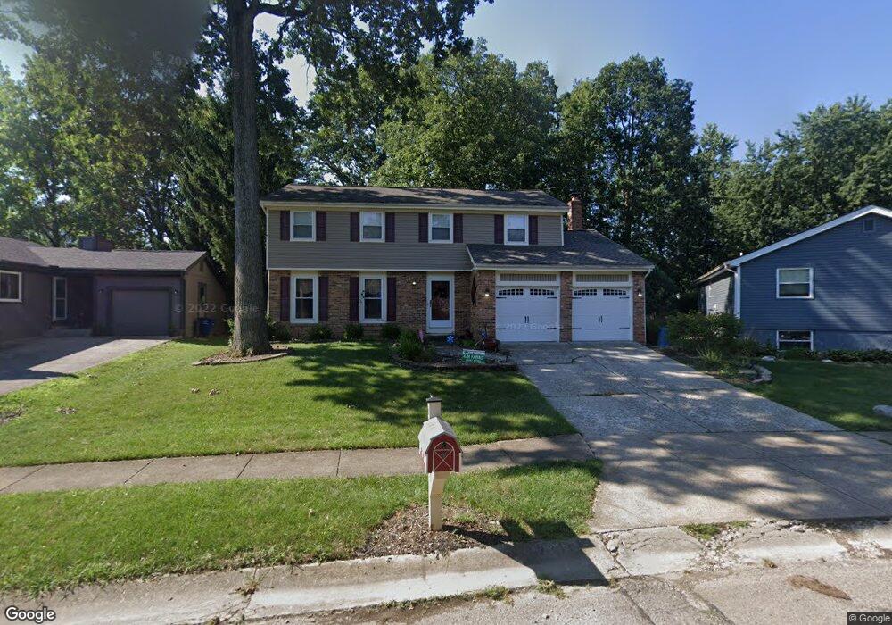
2311 Benning Dr Powell, OH 43065
Estimated Value: $388,000 - $450,000
About This Home
This home is located at 2311 Benning Dr, Powell, OH 43065 and is currently estimated at $424,993, approximately $208 per square foot. 2311 Benning Dr is a home located in Franklin County with nearby schools including Liberty Elementary School, McCord Middle School, and Worthington Kilbourne High School.
Ownership History
We collect this data history from publicly available records. To have your information removed, we recommend requesting removal directly through your county’s website.
Purchase Details
Purchase Details
Home Financials for this Owner
Home Financials are based on the most recent Mortgage that was taken out on this home.Purchase Details
Home Financials for this Owner
Home Financials are based on the most recent Mortgage that was taken out on this home.Purchase Details
Purchase Details
Home Values in the Area
Average Home Value in this Area
Purchase History
We collect this data history from publicly available records. To have your information removed, we recommend requesting removal directly through your county’s website.
| Date | Buyer | Sale Price | Title Company |
|---|---|---|---|
| $166,900 | Title First | ||
| $141,500 | Warranty Title | ||
| $129,850 | -- | ||
| $119,500 | -- | ||
| $90,000 | -- |
Mortgage History
We collect this data history from publicly available records. To have your information removed, we recommend requesting removal directly through your county’s website.
| Date | Status | Borrower | Loan Amount |
|---|---|---|---|
| Open | $141,411 | ||
| Previous Owner | $103,850 |
Tax History
We collect this data history from publicly available records. To have your information removed, we recommend requesting removal directly through your county’s website.
| Year | Tax Paid | Tax Assessment Tax Assessment Total Assessment is a certain percentage of the fair market value that is determined by local assessors to be the total taxable value of land and additions on the property. | Land | Improvement |
|---|---|---|---|---|
| 2025 | $10,453 | $116,520 | $41,900 | $74,620 |
| 2024 | $10,453 | $116,520 | $41,900 | $74,620 |
| 2023 | $6,841 | $116,515 | $41,895 | $74,620 |
| 2022 | $5,307 | $71,720 | $18,410 | $53,310 |
| 2021 | $4,896 | $71,720 | $18,410 | $53,310 |
| 2020 | $4,716 | $71,720 | $18,410 | $53,310 |
| 2019 | $4,236 | $58,140 | $15,330 | $42,810 |
| 2018 | $4,140 | $57,230 | $15,330 | $41,900 |
| 2017 | $3,737 | $57,230 | $15,330 | $41,900 |
| 2016 | $4,239 | $59,710 | $14,420 | $45,290 |
| 2015 | $4,240 | $59,710 | $14,420 | $45,290 |
| 2014 | $4,238 | $59,710 | $14,420 | $45,290 |
| 2013 | $2,109 | $59,710 | $14,420 | $45,290 |
Map
- 2300 Benning Dr
- 8715 Ripton Dr
- 2448 Shroton Ct
- 2230 Summit View Rd
- 2400 Willis Rd
- 2087-2089 Summit Row Blvd
- 2021 Summit Row Blvd
- 3033 Jamestown Dr
- 7971 Stonehurst Dr
- 8819 Seabright Dr
- 2567 Starford Dr
- 2061 Stowbridge Rd
- 247 Chasely Cir
- 2152 Olde Sawmill Blvd
- 1851 Maroon Dr
- 164 Stamford Dr
- 1951 Eldorado Ct
- 2425 Olde Sawmill Blvd
- 3910 Summit View Rd
- 471 Commons Dr Unit 471
- 2315 Benning Dr
- 2305 Benning Dr
- 2297 Benning Dr
- 2322 Hartsdale Dr
- 2330 Hartsdale Dr
- 2314 Hartsdale Dr
- 2291 Benning Dr
- 2323 Benning Dr
- 2338 Hartsdale Dr
- 2306 Hartsdale Dr
- 8794 Greenburg Dr
- 2287 Benning Dr
- 8810 Greenburg Dr
- 2300 Hartsdale Dr
- 8780 Greenburg Dr
- 8818 Greenburg Dr
- 2281 Benning Dr
- 2322 Benning Dr
- 2290 Hartsdale Dr
- 2333 Hartsdale Dr
Ask me questions while you tour the home.