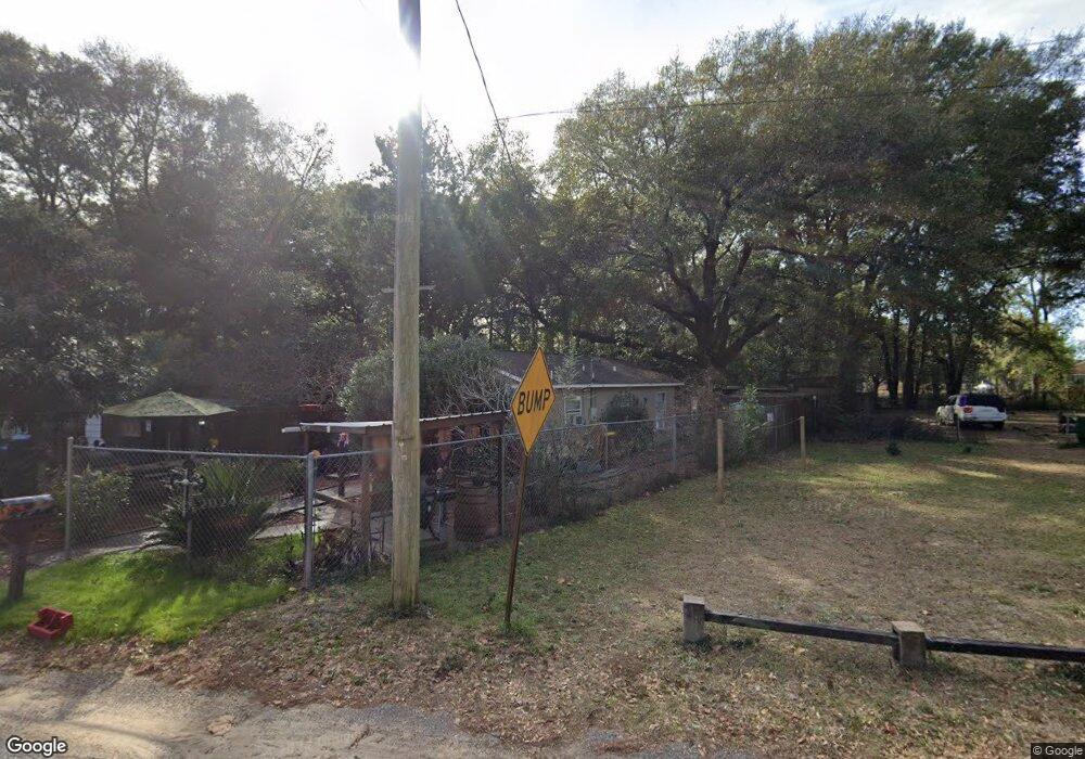
232 Cross Dr Crestview, FL 32536
Estimated Value: $82,000 - $186,000
2
Beds
1
Bath
640
Sq Ft
$180/Sq Ft
Est. Value
About This Home
This home is located at 232 Cross Dr, Crestview, FL 32536 and is currently estimated at $114,924, approximately $179 per square foot. 232 Cross Dr is a home located in Okaloosa County with nearby schools including Riverside Elementary School, Shoal River Middle School, and Crestview High School.
Ownership History
Date
Name
Owned For
Owner Type
Purchase Details
Closed on
Mar 29, 2010
Sold by
David R Smith Development
Bought by
Dabney Christopher A and Dabney Robert W
Current Estimated Value
Purchase Details
Closed on
May 8, 2000
Sold by
David R Smith Dev Inc
Bought by
Dabney Rob W
Home Financials for this Owner
Home Financials are based on the most recent Mortgage that was taken out on this home.
Original Mortgage
$9,900
Interest Rate
10%
Create a Home Valuation Report for This Property
The Home Valuation Report is an in-depth analysis detailing your home's value as well as a comparison with similar homes in the area
Home Values in the Area
Average Home Value in this Area
Purchase History
| Date | Buyer | Sale Price | Title Company |
|---|---|---|---|
| Dabney Christopher A | $29,700 | Attorney | |
| Dabney Rob W | $19,900 | Panhandle Title Inc |
Source: Public Records
Mortgage History
| Date | Status | Borrower | Loan Amount |
|---|---|---|---|
| Previous Owner | Dabney Rob W | $9,900 |
Source: Public Records
Tax History
| Year | Tax Paid | Tax Assessment Tax Assessment Total Assessment is a certain percentage of the fair market value that is determined by local assessors to be the total taxable value of land and additions on the property. | Land | Improvement |
|---|---|---|---|---|
| 2025 | $965 | $60,788 | $8,584 | $52,204 |
| 2024 | $892 | $56,784 | $6,003 | $50,781 |
| 2023 | $892 | $61,856 | $5,609 | $56,247 |
| 2022 | $828 | $58,216 | $5,242 | $52,974 |
| 2021 | $717 | $42,910 | $4,990 | $37,920 |
| 2020 | $658 | $39,498 | $4,892 | $34,606 |
| 2019 | $601 | $35,328 | $4,892 | $30,436 |
| 2018 | $572 | $33,335 | $0 | $0 |
| 2017 | $542 | $31,155 | $0 | $0 |
| 2016 | $533 | $30,782 | $0 | $0 |
| 2015 | $513 | $28,973 | $0 | $0 |
| 2014 | $492 | $29,378 | $0 | $0 |
Source: Public Records
Map
Nearby Homes
- 228 Cross Dr
- 795 Bay St
- 450 S Savage St
- 402 Church St
- 401-409 Brock Ave
- 0 Benjamin St
- 860 S Rayburn St
- 658 W Griffith Ave
- 515 E Robinson Ave
- 296 S Wilson St
- 749 Amos St
- 451 E Cane Ave
- 556 Lee Ave
- 585 Brock Ave
- 0 Edney Ave W
- .13 Edney Ave W
- 345 S Brett St
- 609 E Edney Ave
- 297 Mcclelland St
- 406 E Griffith Ave
Your Personal Tour Guide
Ask me questions while you tour the home.