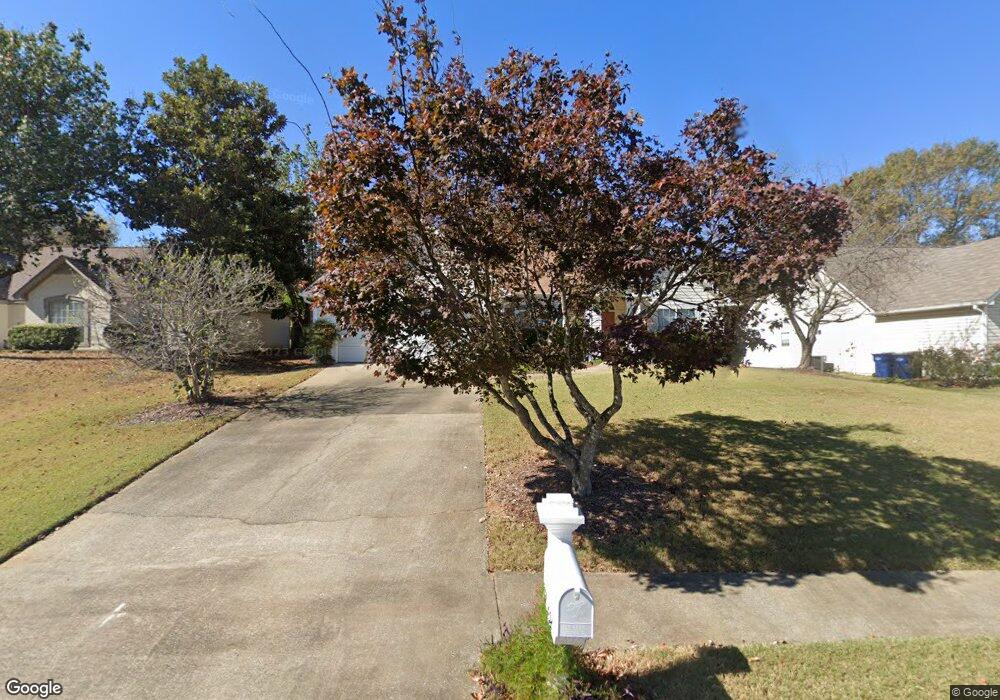
232 Leaf Ln Alabaster, AL 35007
Estimated Value: $262,000 - $275,000
Studio
1
Bath
1,682
Sq Ft
$159/Sq Ft
Est. Value
About This Home
This home is located at 232 Leaf Ln, Alabaster, AL 35007 and is currently estimated at $267,606, approximately $159 per square foot. 232 Leaf Ln is a home located in Shelby County with nearby schools including Thompson Intermediate School, Thompson Middle School, and Thompson High School.
Ownership History
Date
Name
Owned For
Owner Type
Purchase Details
Closed on
Jan 3, 2024
Sold by
Tudisco Charles Anthony
Bought by
Tudisco Anthony Jude and Tudisco Kellie Wehby
Current Estimated Value
Home Financials for this Owner
Home Financials are based on the most recent Mortgage that was taken out on this home.
Original Mortgage
$195,000
Outstanding Balance
$191,801
Interest Rate
7.29%
Mortgage Type
New Conventional
Estimated Equity
$75,805
Purchase Details
Closed on
Jun 22, 2007
Sold by
Bowman John D and Bowman Thanh Chi
Bought by
Tudisco Mary Ann
Purchase Details
Closed on
Aug 18, 2003
Sold by
Le Dung Khac and Le Anh Dao Thi Nguyen
Bought by
Bowman John D and Bowman Thanh Chi
Home Financials for this Owner
Home Financials are based on the most recent Mortgage that was taken out on this home.
Original Mortgage
$107,920
Interest Rate
5.52%
Mortgage Type
Unknown
Create a Home Valuation Report for This Property
The Home Valuation Report is an in-depth analysis detailing your home's value as well as a comparison with similar homes in the area
Home Values in the Area
Average Home Value in this Area
Purchase History
| Date | Buyer | Sale Price | Title Company |
|---|---|---|---|
| Tudisco Anthony Jude | $179,572 | None Listed On Document | |
| Tudisco Mary Ann | $162,500 | None Available | |
| Bowman John D | $134,900 | -- |
Source: Public Records
Mortgage History
| Date | Status | Borrower | Loan Amount |
|---|---|---|---|
| Open | Tudisco Anthony Jude | $195,000 | |
| Previous Owner | Bowman John D | $107,920 | |
| Closed | Bowman John D | $13,490 |
Source: Public Records
Tax History
| Year | Tax Paid | Tax Assessment Tax Assessment Total Assessment is a certain percentage of the fair market value that is determined by local assessors to be the total taxable value of land and additions on the property. | Land | Improvement |
|---|---|---|---|---|
| 2024 | $1,306 | $24,180 | $0 | $0 |
| 2023 | -- | $21,720 | $0 | $0 |
| 2022 | $0 | $20,240 | $0 | $0 |
| 2021 | $0 | $18,100 | $0 | $0 |
| 2020 | $0 | $17,680 | $0 | $0 |
| 2019 | $770 | $16,520 | $0 | $0 |
| 2017 | $683 | $14,700 | $0 | $0 |
| 2015 | -- | $14,180 | $0 | $0 |
| 2014 | $642 | $13,840 | $0 | $0 |
Source: Public Records
Map
Nearby Homes
- 319 7th St NW
- 000 9th St NW
- 0001 9th St NW
- 109 Longfeather Cir
- 335 10th St NW
- 1208 Siskin Dr
- 1238 Bunting Dr
- 1222 Falling Star Ln
- 955 3rd Ave NW
- 1116 Willow Creek Ct
- 1108 Willow Creek Ct
- 95 9th St NW
- 1317 W Navajo Dr
- 601 3rd St NE
- 1317 Old Boston Rd
- 940 2nd Ave SW
- 542 Navajo Trail
- 121 Willow Point Ln
- 208 10th St SW
- 1349 Old Boston Rd
Your Personal Tour Guide
Ask me questions while you tour the home.