Estimated Value: $1,963,000 - $2,476,915
5
Beds
4
Baths
4,824
Sq Ft
$454/Sq Ft
Est. Value
About This Home
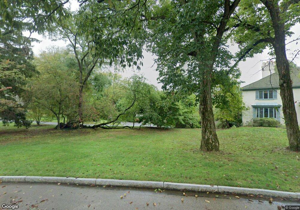
This home is located at 232 Ravenscliff Rd, Wayne, PA 19087 and is currently estimated at $2,191,638, approximately $454 per square foot. 232 Ravenscliff Rd is a home located in Delaware County with nearby schools including Wayne Elementary School, Radnor Middle School, and Radnor Senior High School.
Ownership History
Date
Name
Owned For
Owner Type
Purchase Details
Closed on
Aug 16, 1999
Sold by
Dipaul John J and Dipaul Irene S
Bought by
Greenbaum Steven S and Greenbaum Bettsie W
Current Estimated Value
Home Financials for this Owner
Home Financials are based on the most recent Mortgage that was taken out on this home.
Original Mortgage
$500,000
Outstanding Balance
$133,609
Interest Rate
6.75%
Mortgage Type
Purchase Money Mortgage
Estimated Equity
$2,058,029
Create a Home Valuation Report for This Property
The Home Valuation Report is an in-depth analysis detailing your home's value as well as a comparison with similar homes in the area
Purchase History
| Date | Buyer | Sale Price | Title Company |
|---|---|---|---|
| Greenbaum Steven S | $720,000 | -- |
Source: Public Records
Mortgage History
| Date | Status | Borrower | Loan Amount |
|---|---|---|---|
| Open | Greenbaum Steven S | $500,000 |
Source: Public Records
Tax History
| Year | Tax Paid | Tax Assessment Tax Assessment Total Assessment is a certain percentage of the fair market value that is determined by local assessors to be the total taxable value of land and additions on the property. | Land | Improvement |
|---|---|---|---|---|
| 2025 | $20,665 | $1,022,110 | $346,700 | $675,410 |
| 2024 | $20,665 | $1,022,110 | $346,700 | $675,410 |
| 2023 | $19,846 | $1,022,110 | $346,700 | $675,410 |
| 2022 | $19,630 | $1,022,110 | $346,700 | $675,410 |
| 2021 | $31,531 | $1,022,110 | $346,700 | $675,410 |
| 2020 | $25,199 | $724,360 | $240,490 | $483,870 |
| 2019 | $24,488 | $724,360 | $240,490 | $483,870 |
| 2018 | $24,007 | $724,360 | $0 | $0 |
| 2017 | $23,505 | $724,360 | $0 | $0 |
| 2016 | $3,975 | $724,360 | $0 | $0 |
| 2015 | $3,975 | $724,360 | $0 | $0 |
| 2014 | $3,975 | $724,360 | $0 | $0 |
Source: Public Records
Map
Nearby Homes
- 217 Ravenscliff Rd
- 205 Ravenscliff Rd
- 846 Maplewood Rd
- 1 Dunminning Rd
- 8 Harrow Cir
- 151 Eaton Dr
- 203 Church St
- 658 Brooke Rd
- 412 Fairview Dr
- 120 S Devon Ave
- 423 Maplewood Ave
- 312 Conestoga Rd
- 718 S Waterloo Rd
- 3111 Sawmill Rd
- 317 S Devon Ave
- 321 Conestoga Rd
- 641 Andover Rd
- 0 Greenwell Ln
- 216 Bloomingdale Ave
- 848 Parkes Run Ln
- 234 Ravenscliff Rd
- 302 Julip Run
- 230 Ravenscliff Rd
- 236 Ravenscliff Rd
- 310 Julip Run
- 0 Julip Run Rd
- 312 Julip Run
- 314 Julip Run
- 306 Julip Run
- 219 Ravenscliff Rd
- 215 Ravenscliff Rd
- 316 Julip Run
- 238 Ravenscliff Rd
- 216 Ravenscliff Rd
- 221 Ravenscliff Rd
- 213 Ravenscliff Rd
- 220 Ravenscliff Rd
- 318 Julip Run
- 240 Ravenscliff Rd
- 229 Ravenscliff Rd
Your Personal Tour Guide
Ask me questions while you tour the home.