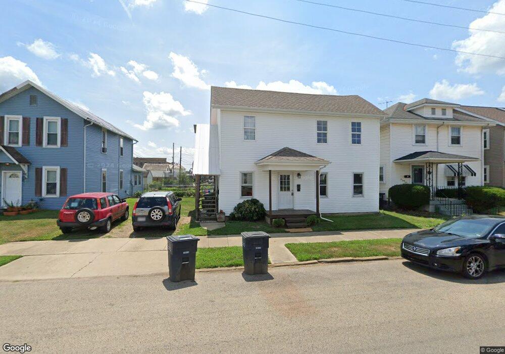
232 Union St Lancaster, OH 43130
Lancaster AreaEstimated Value: $200,000 - $298,000
About This Home
This home is located at 232 Union St, Lancaster, OH 43130 and is currently estimated at $240,667, approximately $77 per square foot. 232 Union St is a home located in Fairfield County with nearby schools including Thomas Ewing Junior High School, Lancaster High School, and St Mary Elementary School.
Ownership History
We collect this data history from publicly available records. To have your information removed, we recommend requesting removal directly through your county’s website.
Purchase Details
Purchase Details
Purchase Details
Home Values in the Area
Average Home Value in this Area
Purchase History
We collect this data history from publicly available records. To have your information removed, we recommend requesting removal directly through your county’s website.
| Date | Buyer | Sale Price | Title Company |
|---|---|---|---|
| -- | -- | ||
| -- | None Available | ||
| -- | Valmer Land Title Agency |
Tax History
We collect this data history from publicly available records. To have your information removed, we recommend requesting removal directly through your county’s website.
| Year | Tax Paid | Tax Assessment Tax Assessment Total Assessment is a certain percentage of the fair market value that is determined by local assessors to be the total taxable value of land and additions on the property. | Land | Improvement |
|---|---|---|---|---|
| 2025 | $4,330 | $74,480 | $17,550 | $56,930 |
| 2024 | $4,330 | $48,160 | $9,170 | $38,990 |
| 2023 | $1,789 | $48,160 | $9,170 | $38,990 |
| 2022 | $2,048 | $48,160 | $9,170 | $38,990 |
| 2021 | $1,521 | $38,130 | $9,170 | $28,960 |
| 2020 | $1,459 | $38,130 | $9,170 | $28,960 |
| 2019 | $1,388 | $38,130 | $9,170 | $28,960 |
| 2018 | $1,575 | $34,690 | $9,170 | $25,520 |
| 2017 | $1,576 | $41,070 | $7,930 | $33,140 |
| 2016 | $1,536 | $41,070 | $7,930 | $33,140 |
| 2015 | $1,590 | $41,270 | $7,930 | $33,340 |
| 2014 | $1,517 | $41,270 | $7,930 | $33,340 |
| 2013 | $1,517 | $41,270 | $7,930 | $33,340 |
Map
- 0 Slocum Ave
- 424 N Columbus St
- 143 Union St
- 515 N Columbus St
- 0 W Sixth Ave
- 0 N Columbus St
- 626 N Broad St
- 430 N High St
- 154 E Main St
- 610 Union St
- 604 W Wheeling St
- 149 & 151 S George St
- 301 S Broad St
- 130 W Fair Ave
- 142 Lake St
- 335 Whiley Ave
- 338 E Mulberry St
- 308 Reber Ave
- 308 Reber Ave Unit 310
- 184 Lake St
- 228 Union St
- 326 Forest Rose Ave
- 324 Forest Rose Ave
- 238 Union St
- 224 Union St
- 240 Union St
- 322 Forest Rose Ave
- 222 Union St
- 4193 Demorest Cove Ct
- 220 Union St
- 316 Forest Rose Ave
- 312 Forest Rose Ave
- 241 Union St
- 235 W Mulberry St
- 338 N Memorial Dr
- 231 Union St
- 229 Union St
- 219 Union St
- 315 N Columbus St
- 410 Forest Rose Ave
Ask me questions while you tour the home.