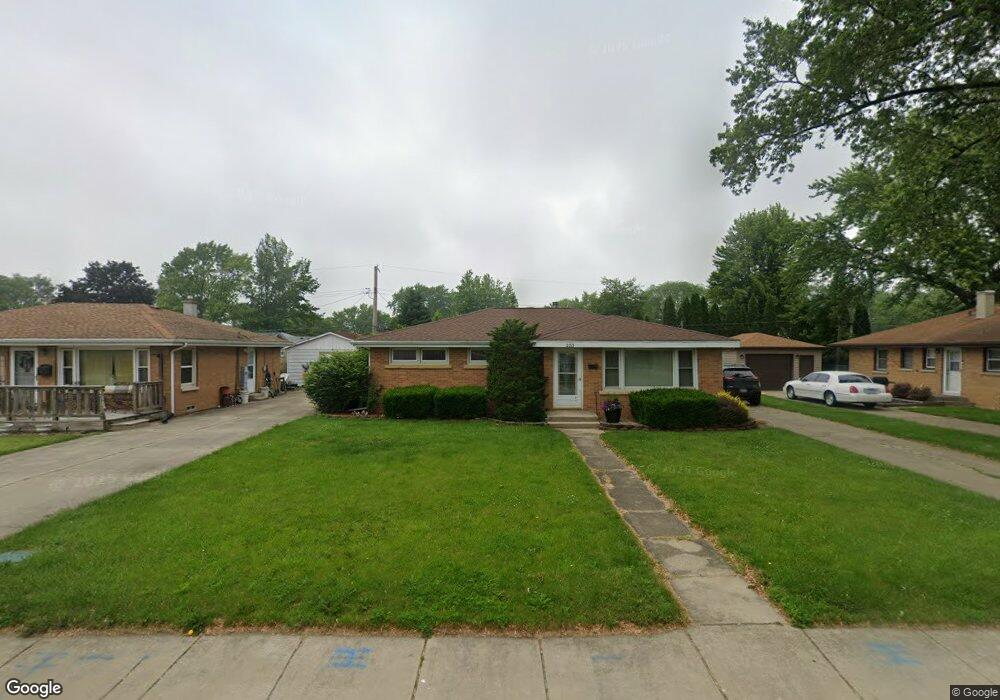
233 E Munroe St Bourbonnais, IL 60914
Estimated Value: $192,000 - $194,000
About This Home
This home is located at 233 E Munroe St, Bourbonnais, IL 60914 and is currently estimated at $192,796, approximately $170 per square foot. 233 E Munroe St is a home located in Kankakee County with nearby schools including Shabbona Elementary School, Liberty Intermediate School, and Bourbonnais Upper Grade Center.
Ownership History
We collect this data history from publicly available records. To have your information removed, we recommend requesting removal directly through your county’s website.
Purchase Details
Home Values in the Area
Average Home Value in this Area
Purchase History
We collect this data history from publicly available records. To have your information removed, we recommend requesting removal directly through your county’s website.
| Date | Buyer | Sale Price | Title Company |
|---|---|---|---|
| $130,100 | Standard Title Grnty Co |
Mortgage History
We collect this data history from publicly available records. To have your information removed, we recommend requesting removal directly through your county’s website.
| Date | Status | Borrower | Loan Amount |
|---|---|---|---|
| Closed | $117,000 |
Tax History
We collect this data history from publicly available records. To have your information removed, we recommend requesting removal directly through your county’s website.
| Year | Tax Paid | Tax Assessment Tax Assessment Total Assessment is a certain percentage of the fair market value that is determined by local assessors to be the total taxable value of land and additions on the property. | Land | Improvement |
|---|---|---|---|---|
| 2025 | $3,763 | $56,726 | $6,956 | $49,770 |
| 2024 | $3,763 | $51,279 | $6,562 | $44,717 |
| 2023 | $3,426 | $47,481 | $6,076 | $41,405 |
| 2022 | $3,110 | $42,136 | $5,856 | $36,280 |
| 2021 | $2,893 | $39,404 | $5,727 | $33,677 |
| 2020 | $2,858 | $38,350 | $5,574 | $32,776 |
| 2019 | $2,680 | $36,009 | $5,412 | $30,597 |
| 2018 | $2,775 | $36,977 | $5,332 | $31,645 |
| 2017 | $2,713 | $36,075 | $5,202 | $30,873 |
| 2016 | $2,632 | $35,241 | $5,125 | $30,116 |
| 2015 | $2,690 | $35,501 | $5,074 | $30,427 |
| 2014 | $2,252 | $31,722 | $5,074 | $26,648 |
| 2013 | -- | $35,501 | $5,074 | $30,427 |
Map
- 901 W North St
- 440 S Cryer Ave
- 372 N Blaine Ave
- 183 N Cleveland Ave
- 470 N Grand Ave
- 671 Bisaillon Ave
- 660 Jonette Ave
- 520 Evergreen Ln
- 0 Broadway St E Unit MRD12509049
- 184 S Forest Ave
- 549 Juniper Ln
- Lot 5 W Broadway St
- 148 S Prairie Ave
- 448 N Michigan Ave
- 272 S Forest Ave
- 740 Burns Ct
- 295 S Grand Ave
- 213 Belle Aire Ave
- 754 River Place Dr
- 212 Valley Ave
- 233 E Munroe Ave
- 215 E Munroe St
- 251 E Munroe St
- 236 E Munroe St
- 205 E Munroe St
- 220 E Munroe St
- 254 E Munroe St
- 210 E Munroe St
- 269 E Munroe St
- 269 E Munroe Ave
- 570 S Bresee Ave
- 222 E Charles St
- 200 E Munroe St
- 242 E Charles St
- 272 E Munroe St
- 287 E Munroe St
- 512 N Forest Ave
- 286 E Munroe St
- 197 E Munroe St
- 202 E Charles St
Ask me questions while you tour the home.