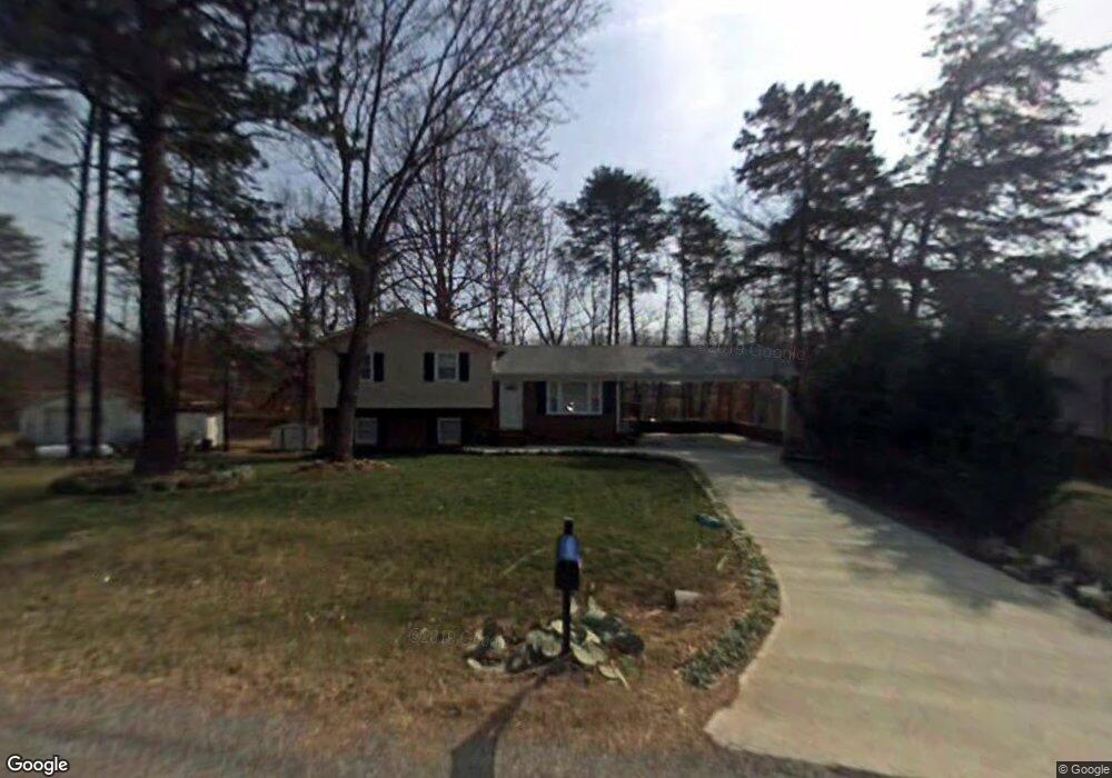
233 Gilda Dr Mount Airy, NC 27030
Estimated Value: $173,000 - $219,000
3
Beds
1
Bath
1,085
Sq Ft
$178/Sq Ft
Est. Value
About This Home
This home is located at 233 Gilda Dr, Mount Airy, NC 27030 and is currently estimated at $193,491, approximately $178 per square foot. 233 Gilda Dr is a home located in Surry County with nearby schools including Pilot Mountain Elementary School, Pilot Mountain Middle School, and East Surry High School.
Ownership History
Date
Name
Owned For
Owner Type
Purchase Details
Closed on
May 8, 2019
Sold by
Stevens James L
Bought by
Stevens Donna E
Current Estimated Value
Purchase Details
Closed on
Apr 26, 2013
Sold by
Stevens Donna E and Mobe Donna R
Bought by
Stevens Donna E and Stevens James L
Home Financials for this Owner
Home Financials are based on the most recent Mortgage that was taken out on this home.
Original Mortgage
$75,000
Interest Rate
3.59%
Mortgage Type
New Conventional
Create a Home Valuation Report for This Property
The Home Valuation Report is an in-depth analysis detailing your home's value as well as a comparison with similar homes in the area
Purchase History
| Date | Buyer | Sale Price | Title Company |
|---|---|---|---|
| Stevens Donna E | -- | -- | |
| Stevens Donna E | -- | None Available |
Source: Public Records
Mortgage History
| Date | Status | Borrower | Loan Amount |
|---|---|---|---|
| Previous Owner | Stevens Donna E | $75,000 |
Source: Public Records
Tax History
| Year | Tax Paid | Tax Assessment Tax Assessment Total Assessment is a certain percentage of the fair market value that is determined by local assessors to be the total taxable value of land and additions on the property. | Land | Improvement |
|---|---|---|---|---|
| 2025 | $993 | $159,530 | $12,350 | $147,180 |
| 2024 | $795 | $120,430 | $12,350 | $108,080 |
| 2023 | $665 | $120,430 | $12,350 | $108,080 |
| 2022 | $782 | $120,430 | $12,350 | $108,080 |
| 2021 | $795 | $120,430 | $12,350 | $108,080 |
| 2020 | $717 | $103,820 | $12,350 | $91,470 |
| 2019 | $714 | $103,820 | $0 | $0 |
| 2018 | $712 | $103,820 | $0 | $0 |
| 2017 | $711 | $103,820 | $0 | $0 |
| 2016 | $674 | $98,220 | $0 | $0 |
| 2013 | -- | $92,920 | $0 | $0 |
Source: Public Records
Map
Nearby Homes
- TBD Holly Springs Rd
- 000 Holly Springs Rd
- 00 Brickhaven Ln
- 231 Cp Riddle Trail
- Lot 5 Morosko Ln
- Lot 6 Morosko Ln
- 1319 S Old Us Highway 52
- 244 Glass Rd
- 200 Englewood Trail
- 282 Howell Rd
- 446 Gilley Rd
- 141 Brenda Dr
- xx Gilley Rd Unit 20.63 acres
- 2183 Westfield Rd
- 00 S Andy Griffith Pkwy
- 138 Arthur Needham Rd
- Tbd Farmbrook Rd
- TBD Marbury Trail
- 207 Hersey Collins Rd
- 00 Holly Springs Rd
Your Personal Tour Guide
Ask me questions while you tour the home.