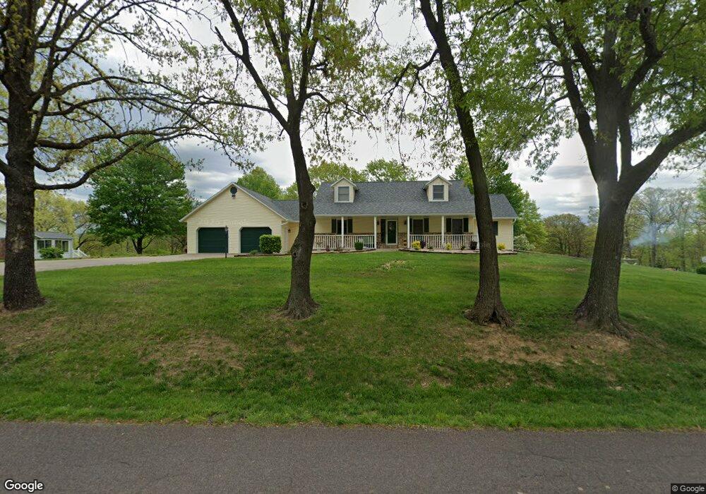
233 Kaylor Bridge Rd Centertown, MO 65023
Estimated Value: $353,000 - $613,000
4
Beds
4
Baths
2,305
Sq Ft
$194/Sq Ft
Est. Value
About This Home
This home is located at 233 Kaylor Bridge Rd, Centertown, MO 65023 and is currently estimated at $448,277, approximately $194 per square foot. 233 Kaylor Bridge Rd is a home located in Cole County with nearby schools including Pioneer Trail Elementary School, Thomas Jefferson Middle School, and Capital City High School.
Ownership History
Date
Name
Owned For
Owner Type
Purchase Details
Closed on
Jun 17, 2020
Sold by
Huhman Mark J and Huhman Heather L
Bought by
Huhman Mark J and Huhman Heather L
Current Estimated Value
Home Financials for this Owner
Home Financials are based on the most recent Mortgage that was taken out on this home.
Original Mortgage
$100,000
Outstanding Balance
$51,487
Interest Rate
3.2%
Mortgage Type
New Conventional
Estimated Equity
$396,790
Create a Home Valuation Report for This Property
The Home Valuation Report is an in-depth analysis detailing your home's value as well as a comparison with similar homes in the area
Purchase History
| Date | Buyer | Sale Price | Title Company |
|---|---|---|---|
| Huhman Mark J | -- | None Available |
Source: Public Records
Mortgage History
| Date | Status | Borrower | Loan Amount |
|---|---|---|---|
| Open | Huhman Mark J | $100,000 |
Source: Public Records
Tax History
| Year | Tax Paid | Tax Assessment Tax Assessment Total Assessment is a certain percentage of the fair market value that is determined by local assessors to be the total taxable value of land and additions on the property. | Land | Improvement |
|---|---|---|---|---|
| 2025 | $2,075 | $40,700 | $3,040 | $37,660 |
| 2024 | $21 | $36,370 | $0 | $36,370 |
| 2023 | $2,075 | $36,370 | $0 | $36,370 |
| 2022 | $2,081 | $36,370 | $0 | $36,370 |
| 2021 | $2,693 | $36,370 | $0 | $36,370 |
| 2020 | $2,719 | $38,475 | $3,040 | $35,435 |
| 2019 | $2,658 | $39,235 | $3,040 | $36,195 |
| 2018 | $2,655 | $36,898 | $3,040 | $33,858 |
| 2017 | $2,604 | $36,366 | $3,040 | $33,326 |
| 2016 | $2,293 | $36,366 | $3,040 | $33,326 |
| 2015 | $2,298 | $0 | $0 | $0 |
| 2014 | $2,298 | $36,366 | $3,040 | $33,326 |
Source: Public Records
Map
Nearby Homes
- 202 Carel Rd
- 201 Poelker Place
- 210 Poelker Place
- 205 Poelker Place
- 141 Poelker Place
- 137 Poelker Place
- 7013 Stonebridge Park Dr
- 6919 Stonebridge Park Dr
- 333 W Forest Ln
- 317 W Forest Ct
- 214 Poelker Place
- 731 Biltmore Dr
- 728 Biltmore Dr
- 732 Biltmore Dr
- 8907 Kings Chapel Rd
- 318 Murphy Ford Road (Land Only) Rd
- 0 Murphy Ford Rd
- 319 Covered Wagon Rd
- 323 Covered Wagon Rd
- 330 Pioneer Trail Dr
- 227 Kaylor Bridge Rd
- 7912 Clarose Dr
- 8005 Roy L Dr
- 7909 Clarose Dr
- 302 Kaylor Bridge Rd
- 220 Kaylor Bridge Rd
- 7818 Clarose Dr
- 306 Kaylor Bridge Rd
- 8017 Roy L Dr
- 312 Kaylor Bridge Rd
- 7812 Clarose Dr
- 7811 Clarose Dr
- 323 Kaylor Bridge Rd
- 213 Kaylor Bridge Rd
- 320 Kaylor Bridge Rd
- 113 Meadow Wood Dr
- 210 Kaylor Bridge Rd
- 7804 Clarose Dr
- 8020 Drennan Ln
- 201 Kaylor Bridge Rd
Your Personal Tour Guide
Ask me questions while you tour the home.