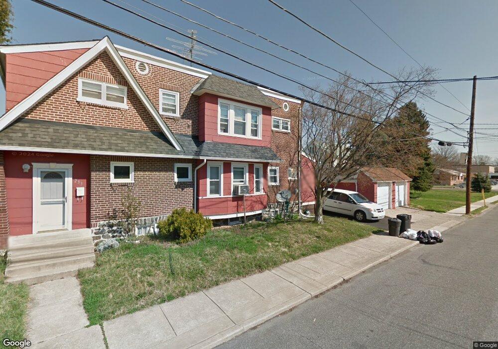
233 N Maple Ave Lansdowne, PA 19050
Estimated Value: $205,000 - $250,000
3
Beds
2
Baths
1,518
Sq Ft
$150/Sq Ft
Est. Value
About This Home
This home is located at 233 N Maple Ave, Lansdowne, PA 19050 and is currently estimated at $227,260, approximately $149 per square foot. 233 N Maple Ave is a home located in Delaware County with nearby schools including East Lansdowne Elementary School, Penn Wood Middle School, and Penn Wood High School - Cypress Street Campus.
Ownership History
Date
Name
Owned For
Owner Type
Purchase Details
Closed on
Jan 31, 1997
Sold by
Galloway John and Galloway Paulita Ann
Bought by
Jefferson Felicia J
Current Estimated Value
Home Financials for this Owner
Home Financials are based on the most recent Mortgage that was taken out on this home.
Original Mortgage
$75,633
Outstanding Balance
$8,558
Interest Rate
7.57%
Mortgage Type
FHA
Estimated Equity
$218,702
Create a Home Valuation Report for This Property
The Home Valuation Report is an in-depth analysis detailing your home's value as well as a comparison with similar homes in the area
Home Values in the Area
Average Home Value in this Area
Purchase History
| Date | Buyer | Sale Price | Title Company |
|---|---|---|---|
| Jefferson Felicia J | $75,900 | -- |
Source: Public Records
Mortgage History
| Date | Status | Borrower | Loan Amount |
|---|---|---|---|
| Open | Jefferson Felicia J | $75,633 |
Source: Public Records
Tax History
| Year | Tax Paid | Tax Assessment Tax Assessment Total Assessment is a certain percentage of the fair market value that is determined by local assessors to be the total taxable value of land and additions on the property. | Land | Improvement |
|---|---|---|---|---|
| 2025 | $5,058 | $122,850 | $27,970 | $94,880 |
| 2024 | $5,058 | $122,850 | $27,970 | $94,880 |
| 2023 | $4,822 | $122,850 | $27,970 | $94,880 |
| 2022 | $4,728 | $122,850 | $27,970 | $94,880 |
| 2021 | $7,099 | $122,850 | $27,970 | $94,880 |
| 2020 | $4,620 | $70,440 | $17,020 | $53,420 |
| 2019 | $4,542 | $70,440 | $17,020 | $53,420 |
| 2018 | $4,464 | $70,440 | $0 | $0 |
| 2017 | $4,366 | $70,440 | $0 | $0 |
| 2016 | $387 | $70,440 | $0 | $0 |
| 2015 | $394 | $70,440 | $0 | $0 |
| 2014 | $387 | $70,440 | $0 | $0 |
Source: Public Records
Map
Nearby Homes
- 219 N Wycombe Ave
- 184 Midway Ave
- 212 N Maple Ave
- 209 Wabash Ave
- 178 N Union Ave
- 219 Crawford Ave
- 210 Wabash Ave
- 315 E Essex Ave
- 319 E Essex Ave
- 269 Hirst Ave
- 314 E Essex Ave
- 54 Springton Rd
- 122 E Plumstead Ave
- 40 Lamport Rd
- 0 Hirst Ave
- 217 E Greenwood Ave
- 84 E Essex Ave
- 46 Lamport Rd
- 295 Braddock Ave
- 58 Gilpin Rd
- 235 N Maple Ave
- 237 N Maple Ave
- 190 E Essex Ave
- 188 E Essex Ave
- 241 N Maple Ave
- 183 E Essex Ave
- 192 E Essex Ave
- 194 E Essex Ave
- 240 N Wycombe Ave
- 196 E Essex Ave
- 198 E Essex Ave
- 181 E Essex Ave
- 200 E Essex Ave
- 202 E Essex Ave
- 179 E Essex Ave
- 182 E Essex Ave
- 244 N Wycombe Ave
- 244 N Wycombe Ave Unit 1
- 244 N Wycombe Ave Unit 2
- 204 E Essex Ave
Your Personal Tour Guide
Ask me questions while you tour the home.