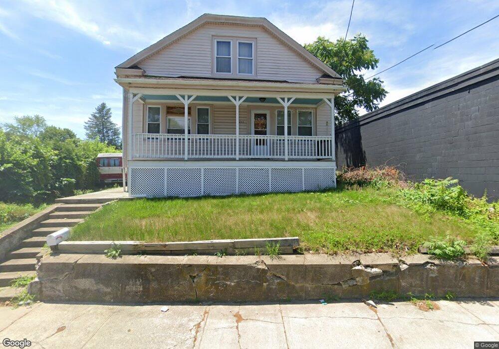
233 Pawtucket Ave Rumford, RI 02916
Phillipsdale NeighborhoodEstimated Value: $403,000 - $446,000
2
Beds
2
Baths
1,210
Sq Ft
$349/Sq Ft
Est. Value
About This Home
This home is located at 233 Pawtucket Ave, Rumford, RI 02916 and is currently estimated at $421,969, approximately $348 per square foot. 233 Pawtucket Ave is a home located in Providence County with nearby schools including East Providence High School, St Margaret School, and Saint Teresa Catholic Elementary School.
Ownership History
Date
Name
Owned For
Owner Type
Purchase Details
Closed on
Mar 3, 1999
Sold by
Ditomasso Joann
Bought by
Darosa Zenaide F
Current Estimated Value
Home Financials for this Owner
Home Financials are based on the most recent Mortgage that was taken out on this home.
Original Mortgage
$80,250
Interest Rate
6.76%
Mortgage Type
Purchase Money Mortgage
Create a Home Valuation Report for This Property
The Home Valuation Report is an in-depth analysis detailing your home's value as well as a comparison with similar homes in the area
Home Values in the Area
Average Home Value in this Area
Purchase History
We collect this data history from publicly available records. To have your information removed, we recommend requesting removal directly through your county’s website.
| Date | Buyer | Sale Price | Title Company |
|---|---|---|---|
| Darosa Zenaide F | $78,000 | -- | |
| Darosa Zenaide F | $78,000 | -- |
Source: Public Records
Mortgage History
We collect this data history from publicly available records. To have your information removed, we recommend requesting removal directly through your county’s website.
| Date | Status | Borrower | Loan Amount |
|---|---|---|---|
| Open | Darosa Zenaide F | $500,000 | |
| Closed | Darosa Zenaide F | $179,805 | |
| Closed | Darosa Zenaide F | $35,000 | |
| Closed | Darosa Zenaide F | $80,250 |
Source: Public Records
Tax History
| Year | Tax Paid | Tax Assessment Tax Assessment Total Assessment is a certain percentage of the fair market value that is determined by local assessors to be the total taxable value of land and additions on the property. | Land | Improvement |
|---|---|---|---|---|
| 2025 | $4,342 | $332,200 | $123,300 | $208,900 |
| 2024 | $4,389 | $286,300 | $102,800 | $183,500 |
| 2023 | $4,226 | $286,300 | $102,800 | $183,500 |
| 2022 | $3,915 | $179,100 | $73,000 | $106,100 |
| 2021 | $3,851 | $179,100 | $69,800 | $109,300 |
| 2020 | $3,688 | $179,100 | $69,800 | $109,300 |
| 2019 | $3,586 | $179,100 | $69,800 | $109,300 |
| 2018 | $3,304 | $144,400 | $55,900 | $88,500 |
| 2017 | $3,230 | $144,400 | $55,900 | $88,500 |
| 2016 | $3,214 | $144,400 | $55,900 | $88,500 |
| 2015 | $3,029 | $132,000 | $54,200 | $77,800 |
| 2014 | $3,029 | $132,000 | $54,200 | $77,800 |
Source: Public Records
Map
Nearby Homes
- 1 Leahy St
- 71 Bent Rd
- 92 Weeden Ave
- 19 Annette Ave
- 24 Annette Ave
- 25 Gloria St
- 49 Martha Rd
- 7 Beech Tree Rd
- 40 Weeden Ave
- 131 Glen Meadows Dr
- 9 Nelson St Unit 11
- 368 Beverage Hill Ave
- 40 E Point Dr Unit 6
- 38 E Point Dr Unit 5
- 36 E Point Dr Unit 4
- 34 E Point Dr Unit 3
- 11 East Dr
- 107 Olympia Ave
- 359 Williston Way
- 200 Roger Williams Ave Unit 305
- 223 Pawtucket Ave
- 11 Nevada Ave
- 15 Nevada Ave
- 255 Pawtucket Ave
- 25 Nevada Ave
- 5 Nevada Ave
- 219 Pawtucket Ave
- 258 Pawtucket Ave Unit 2
- 31 Nevada Ave
- 10 Nevada Ave Unit 12
- 16 Nevada Ave
- 6 Nevada Ave
- 6 Nevada Ave Unit 2
- 32 Nevada Ave
- 20 Nevada Ave Unit 22
- 260 Pawtucket Ave
- 15 Orange St
- 217 Pawtucket Ave
- 17 Orange St Unit 19
- 19 Webster Ave
Your Personal Tour Guide
Ask me questions while you tour the home.