233 Rutland Cir Lagrange, GA 30241
Estimated Value: $137,667 - $143,000
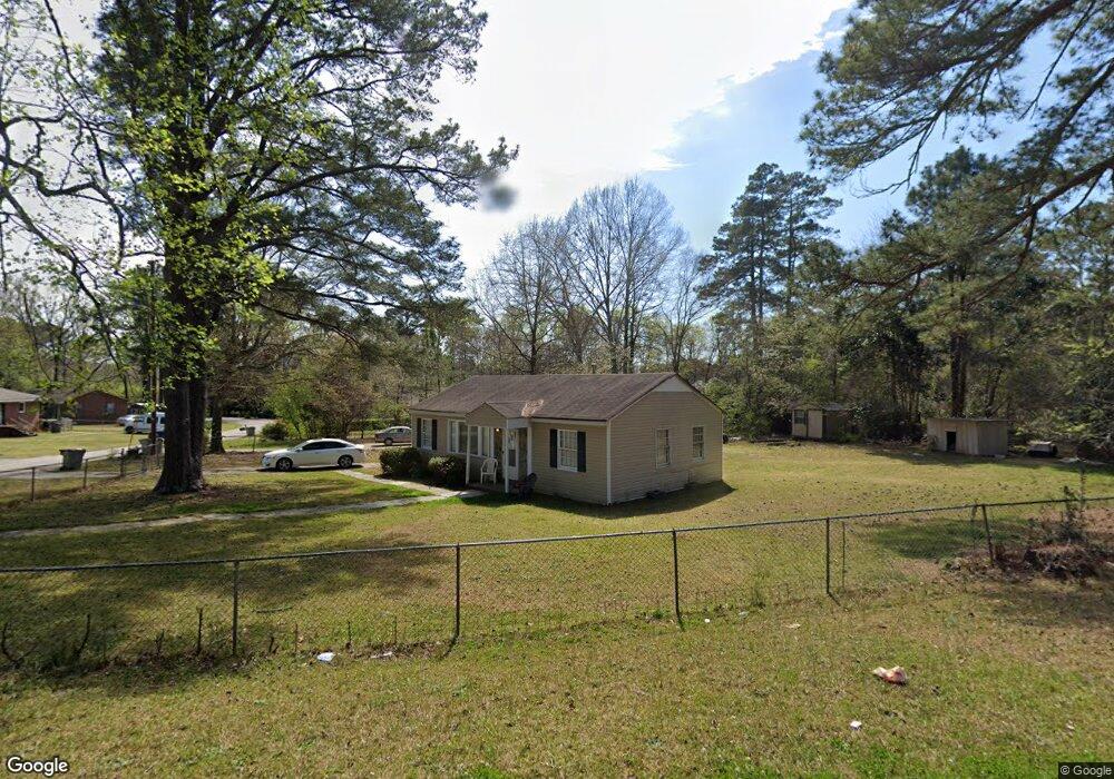
About This Home
This home is located at 233 Rutland Cir, Lagrange, GA 30241 and is currently estimated at $140,917, approximately $137 per square foot. 233 Rutland Cir is a home located in Troup County with nearby schools including Franklin Forest Elementary School, Hollis Hand Elementary School, and Ethel W. Kight Elementary School.
Ownership History
We collect this data history from publicly available records. To have your information removed, we recommend requesting removal directly through your county’s website.
Purchase Details
Home Financials for this Owner
Home Financials are based on the most recent Mortgage that was taken out on this home.Purchase Details
Purchase Details
Purchase History
We collect this data history from publicly available records. To have your information removed, we recommend requesting removal directly through your county’s website.
| Date | Buyer | Sale Price | Title Company |
|---|---|---|---|
| $78,500 | -- | ||
| $11,500 | -- | ||
| -- | -- |
Mortgage History
We collect this data history from publicly available records. To have your information removed, we recommend requesting removal directly through your county’s website.
| Date | Status | Borrower | Loan Amount |
|---|---|---|---|
| Open | $62,800 | ||
| Closed | $15,700 |
Tax History
We collect this data history from publicly available records. To have your information removed, we recommend requesting removal directly through your county’s website.
| Year | Tax Paid | Tax Assessment Tax Assessment Total Assessment is a certain percentage of the fair market value that is determined by local assessors to be the total taxable value of land and additions on the property. | Land | Improvement |
|---|---|---|---|---|
| 2025 | $1,069 | $39,180 | $8,000 | $31,180 |
| 2024 | $937 | $34,340 | $8,000 | $26,340 |
| 2023 | $971 | $35,600 | $9,440 | $26,160 |
| 2022 | $953 | $34,160 | $9,440 | $24,720 |
| 2021 | $821 | $27,224 | $9,440 | $17,784 |
| 2020 | $821 | $27,224 | $9,440 | $17,784 |
| 2019 | $615 | $20,384 | $6,344 | $14,040 |
| 2018 | $615 | $20,384 | $6,344 | $14,040 |
| 2017 | $615 | $20,384 | $6,344 | $14,040 |
| 2016 | $601 | $19,912 | $6,344 | $13,568 |
| 2015 | $602 | $19,912 | $6,344 | $13,568 |
| 2014 | $579 | $19,150 | $6,344 | $12,806 |
| 2013 | -- | $20,347 | $6,344 | $14,003 |
Map
- 179 Youngs Mill Rd
- 226 Hearthstone Dr
- 212 Cleveland Dr
- 304 Lenox Cir
- 102 Peachtree Ct
- 107 N Barnard Ave
- 706 N Harlem Cir
- 0 N Barnard Ave
- 5 Curran Ave
- 202 N Barnard Ave
- 324 Park Hill Dr
- 131 Foch St
- 102 Dogwood Dr
- 105 Dogwood Dr
- 23 Cary St
- 172 Merrybrook Dr
- 202 Park Hill Dr
- 121 de Groat St
- 110 Northwoods Dr
- 133 Alton Dr
- 239 Rutland Cir
- 237 Rutland Cir
- 241 Rutland Cir
- 235 Rutland Cir
- 243 Rutland Cir
- 127 Bonaventure Dr
- 125 Bonaventure Dr
- 129 Bonaventure Dr
- 245 Rutland Cir
- 123 Bonaventure Dr
- 220 Rutland Cir
- 141 Bonaventure Dr
- 143 Bonaventure Dr
- 133 Bonaventure Dr
- 121 Bonaventure Dr
- 231 Rutland Cir
- 139 Bonaventure Dr
- 201 Bonaventure Dr
- 247 Rutland Cir
- 216 Rutland Cir
Ask me questions while you tour the home.