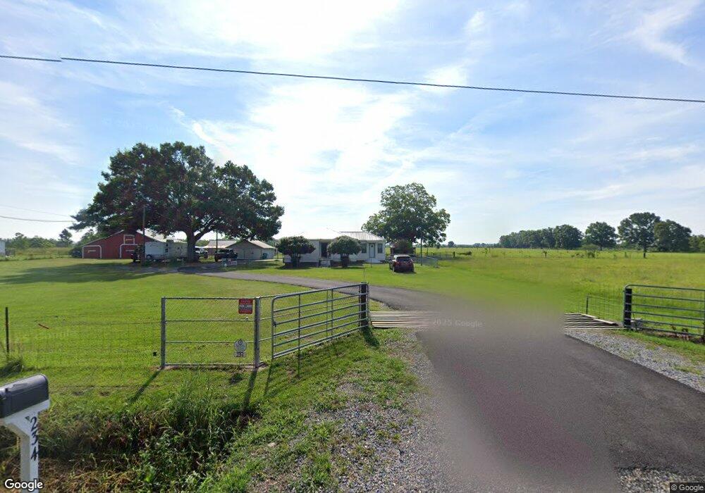
234 Bertrand Rd Opelousas, LA 70570
Estimated Value: $204,000 - $324,845
Studio
--
Bath
--
Sq Ft
1,437,480
Sq Ft Lot
About This Home
This home is located at 234 Bertrand Rd, Opelousas, LA 70570 and is currently estimated at $261,711. 234 Bertrand Rd is a home located in St. Landry Parish with nearby schools including Lawtell Elementary School and Northwest High School.
Ownership History
Date
Name
Owned For
Owner Type
Purchase Details
Closed on
Nov 5, 2024
Sold by
Ponthier Kenneth and Ponthier Roleisha
Bought by
Ponthier Roleisha and Ponthier Kenneth
Current Estimated Value
Purchase Details
Closed on
Sep 27, 2013
Sold by
Meche Chester Joseph
Bought by
Ponthier Kenneth
Home Financials for this Owner
Home Financials are based on the most recent Mortgage that was taken out on this home.
Original Mortgage
$201,286
Interest Rate
4.54%
Mortgage Type
FHA
Create a Home Valuation Report for This Property
The Home Valuation Report is an in-depth analysis detailing your home's value as well as a comparison with similar homes in the area
Purchase History
| Date | Buyer | Sale Price | Title Company |
|---|---|---|---|
| Ponthier Roleisha | -- | None Listed On Document | |
| Ponthier Kenneth | $205,000 | -- |
Source: Public Records
Mortgage History
| Date | Status | Borrower | Loan Amount |
|---|---|---|---|
| Previous Owner | Ponthier Kenneth | $201,286 |
Source: Public Records
Tax History
| Year | Tax Paid | Tax Assessment Tax Assessment Total Assessment is a certain percentage of the fair market value that is determined by local assessors to be the total taxable value of land and additions on the property. | Land | Improvement |
|---|---|---|---|---|
| 2024 | $15 | $7,710 | $1,660 | $6,050 |
| 2023 | $4 | $7,560 | $1,510 | $6,050 |
| 2022 | $472 | $7,560 | $1,510 | $6,050 |
| 2021 | $586 | $7,560 | $1,510 | $6,050 |
| 2020 | $553 | $7,560 | $1,510 | $6,050 |
| 2019 | $549 | $7,420 | $1,370 | $6,050 |
| 2018 | $551 | $7,420 | $1,370 | $6,050 |
| 2017 | $579 | $7,420 | $1,370 | $6,050 |
| 2015 | $581 | $7,470 | $1,420 | $6,050 |
| 2013 | $580 | $7,470 | $1,420 | $6,050 |
Source: Public Records
Map
Nearby Homes
- 740 Heidi B Rd
- 919 Heidi B Rd
- 000 Meter Rd
- 326 Durousseau Rd
- 241 Emma Rd
- 3672 Highway 3043
- 487 Saint Mark Ave
- 0 Saint Jude Ave
- Tbd Saint Jude Ave
- 286 Patty St
- 414 Saint James Ave
- 867 Durousseau Rd Unit LotWP002
- 175 Saint James Ave
- 652 Patty St
- 133 Alyce Ln
- 165 Matte Ln
- 1221 Highway 104
- 211 Bertinot Rd
- 119 Pitre Ln
- 561 Airline Rd
- 256 Bertrand Rd
- 253 Bertrand Rd
- 286 Bertrand Rd
- 286 Bertrand Rd
- 219 Bertrand Rd
- 269 Bertrand Rd
- 235 Bertrand Rd
- 281 Bertrand Rd
- 274 Bertrand Rd
- 274 Bertrand Rd
- 330 Bertrand Rd
- 342 Bertrand Rd
- 323 Bertrand Rd
- 139 Bertrand Rd
- 357 Bertrand Rd
- 0 Bertrand Rd
- 163 Baggys Camp Rd
- 251 Baggys Camp Rd
- 420 Bertrand Rd
- 420 Bertrand Rd
Your Personal Tour Guide
Ask me questions while you tour the home.