234 Mcnutt Rd Sandpoint, ID 83864
Estimated Value: $669,703 - $1,050,000
About This Home
This home is located at 234 Mcnutt Rd, Sandpoint, ID 83864 and is currently estimated at $864,568, approximately $363 per square foot. 234 Mcnutt Rd is a home located in Bonner County with nearby schools including Kootenai Elementary School, Sandpoint Middle School, and Sandpoint High School.
Ownership History
We collect this data history from publicly available records. To have your information removed, we recommend requesting removal directly through your county’s website.
Purchase Details
Home Financials for this Owner
Home Financials are based on the most recent Mortgage that was taken out on this home.Purchase Details
Home Financials for this Owner
Home Financials are based on the most recent Mortgage that was taken out on this home.Purchase Details
Home Financials for this Owner
Home Financials are based on the most recent Mortgage that was taken out on this home.Home Values in the Area
Average Home Value in this Area
Purchase History
We collect this data history from publicly available records. To have your information removed, we recommend requesting removal directly through your county’s website.
| Date | Buyer | Sale Price | Title Company |
|---|---|---|---|
| -- | None Available | ||
| -- | -- | ||
| -- | -- |
Mortgage History
We collect this data history from publicly available records. To have your information removed, we recommend requesting removal directly through your county’s website.
| Date | Status | Borrower | Loan Amount |
|---|---|---|---|
| Open | $65,000 | ||
| Previous Owner | $140,000 | ||
| Previous Owner | $15,000 |
Tax History
We collect this data history from publicly available records. To have your information removed, we recommend requesting removal directly through your county’s website.
| Year | Tax Paid | Tax Assessment Tax Assessment Total Assessment is a certain percentage of the fair market value that is determined by local assessors to be the total taxable value of land and additions on the property. | Land | Improvement |
|---|---|---|---|---|
| 2025 | $1,085 | $375,342 | $218,963 | $156,379 |
| 2024 | $1,315 | $363,366 | $203,888 | $159,478 |
| 2023 | $1,128 | $395,769 | $205,149 | $190,620 |
| 2022 | $1,250 | $360,827 | $122,552 | $238,275 |
| 2021 | $954 | $211,838 | $71,732 | $140,106 |
| 2020 | $971 | $203,013 | $71,964 | $131,049 |
| 2019 | $950 | $200,493 | $74,458 | $126,035 |
| 2018 | $1,555 | $198,278 | $94,075 | $104,203 |
| 2017 | $1,555 | $271,226 | $0 | $0 |
| 2016 | $1,118 | $198,544 | $0 | $0 |
| 2015 | $1,132 | $201,784 | $0 | $0 |
| 2014 | $1,202 | $212,113 | $0 | $0 |
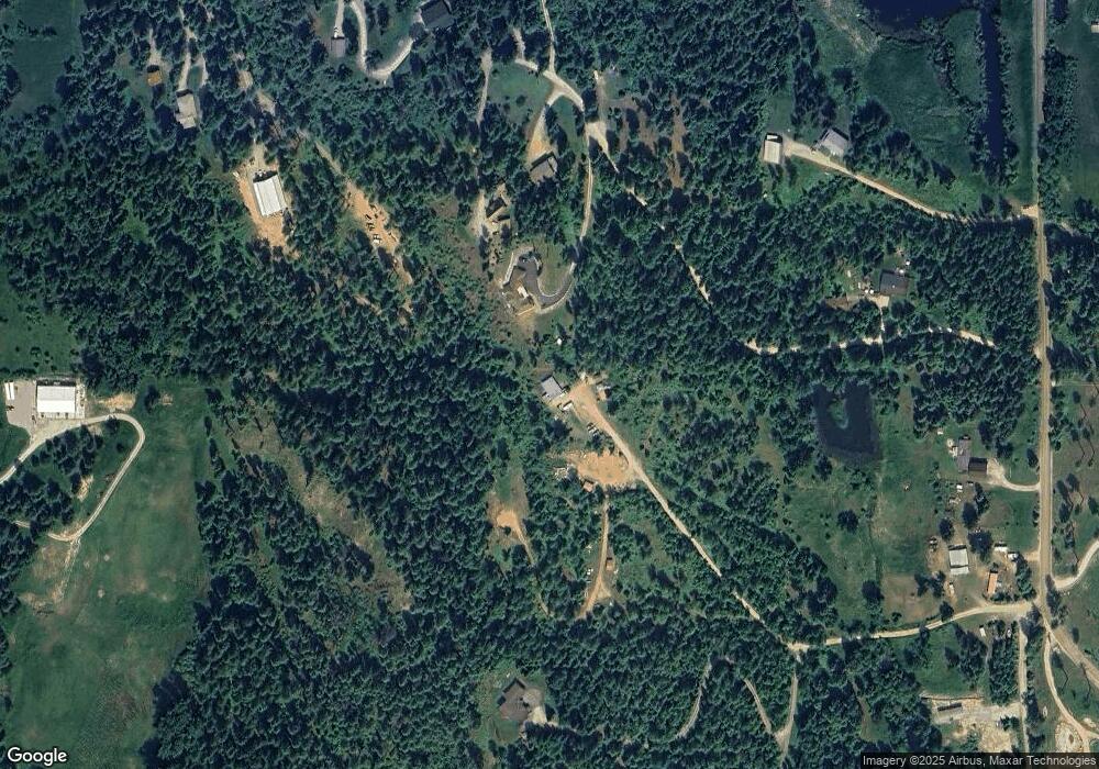
Map
- 300 Sunny Shadows Ln
- 0 Nna Oleander Dr Lot 1
- 9490 Sunnyside Rd
- NNA Wildflower Way Blk 3 Lot 9
- 0 Wildflower Way
- 1028 S Idaho Club Dr
- NNA D10 S White Cloud Dr
- Lot C19 Trappers Loop
- 32 Double Barrel
- NNA D7 S White Cloud Dr
- D11 White Cloud Dr
- NNA C35 White Cloud Dr
- NKA White Cloud Dr
- Lot 17 White Cloud Dr
- 8360 Sunnyside Rd
- 2385 Sunnyside Rd
- NNA S Idaho Club Dr
- NNA C8 S Idaho Club Dr
- Lot A11 S Idaho Club Dr
- NNA C31&32 S Idaho Club Dr
- 256 Hamilton Hill Dr
- 381 Hamilton Hill Dr
- 286 Hamilton Hill Dr
- NNA Larkin Ln
- NNA Hamilton Hill Dr
- 297 Hamilton Hill Dr
- NNA Mcnutt Rd
- 297 Hamilton Hills
- 112 Mcnutt Rd
- 51 Hamilton Hill Dr
- 8965 E Sunnyside Rd
- 9091 Sunnyside Rd
- 31 Mcnutt Rd
- 8965 Sunnyside Rd
- 114 Mcnutt Rd
- 297 Hamilton Hill
- 373 E Sunnyside Rd
- 617 E Sunnyside Rd
- 9090 Sunnyside Rd
- NKA E Sunnyside Rd - N1 Parcel
Ask me questions while you tour the home.