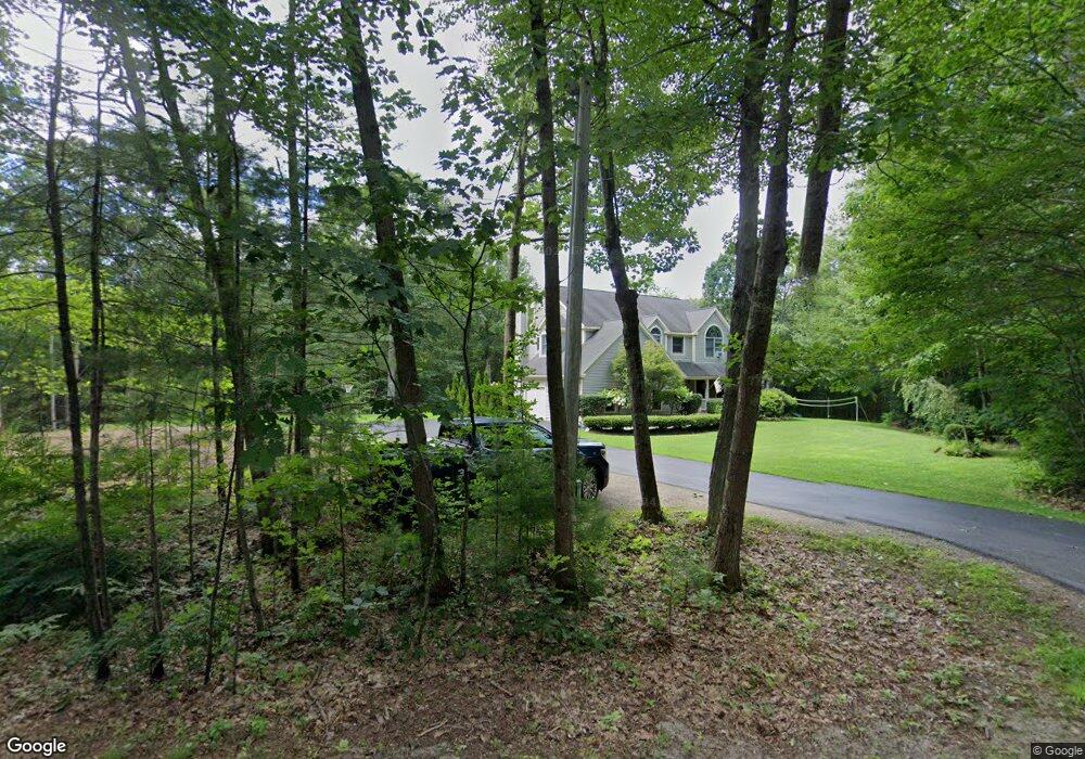
235 Brown St Kennebunk, ME 04043
Estimated Value: $930,000 - $1,514,000
4
Beds
3
Baths
2,617
Sq Ft
$431/Sq Ft
Est. Value
About This Home
This home is located at 235 Brown St, Kennebunk, ME 04043 and is currently estimated at $1,127,271, approximately $430 per square foot. 235 Brown St is a home located in York County with nearby schools including Kennebunk High School and The New School.
Ownership History
Date
Name
Owned For
Owner Type
Purchase Details
Closed on
Jun 26, 2019
Sold by
Murray Benjamin
Bought by
Murray Benjamin and Murray Sarah D
Current Estimated Value
Purchase Details
Closed on
Jun 12, 2019
Sold by
Edelman Christopher and Edelman Hannah
Bought by
Murray Benjamin
Purchase Details
Closed on
Jul 23, 2012
Sold by
Rosenberg Frederick
Bought by
Murray Sarah D and Murray Benjamin M
Home Financials for this Owner
Home Financials are based on the most recent Mortgage that was taken out on this home.
Original Mortgage
$316,000
Interest Rate
3.7%
Mortgage Type
New Conventional
Purchase Details
Closed on
Apr 12, 2011
Sold by
Rosenberg Victoria B
Bought by
Rosenberg Frederick
Create a Home Valuation Report for This Property
The Home Valuation Report is an in-depth analysis detailing your home's value as well as a comparison with similar homes in the area
Home Values in the Area
Average Home Value in this Area
Purchase History
| Date | Buyer | Sale Price | Title Company |
|---|---|---|---|
| Murray Benjamin | -- | -- | |
| Murray Benjamin | -- | -- | |
| Murray Sarah D | -- | -- | |
| Rosenberg Frederick | -- | -- |
Source: Public Records
Mortgage History
| Date | Status | Borrower | Loan Amount |
|---|---|---|---|
| Previous Owner | Murray Sarah D | $316,000 |
Source: Public Records
Tax History
| Year | Tax Paid | Tax Assessment Tax Assessment Total Assessment is a certain percentage of the fair market value that is determined by local assessors to be the total taxable value of land and additions on the property. | Land | Improvement |
|---|---|---|---|---|
| 2025 | $10,034 | $1,018,700 | $411,600 | $607,100 |
| 2024 | $8,336 | $491,800 | $170,100 | $321,700 |
| 2023 | $7,893 | $491,800 | $170,100 | $321,700 |
| 2022 | $7,180 | $491,800 | $170,100 | $321,700 |
| 2021 | $6,652 | $491,800 | $170,100 | $321,700 |
| 2020 | $6,605 | $491,800 | $170,100 | $321,700 |
| 2019 | $6,762 | $491,800 | $170,100 | $321,700 |
| 2018 | $6,456 | $368,900 | $127,600 | $241,300 |
| 2017 | $6,105 | $368,900 | $127,600 | $241,300 |
| 2016 | $5,866 | $368,900 | $127,600 | $241,300 |
| 2015 | $5,644 | $368,900 | $127,600 | $241,300 |
| 2014 | $5,497 | $368,900 | $127,600 | $241,300 |
Source: Public Records
Map
Nearby Homes
- 3 Clarkdale Rd
- 189 Western Ave
- 13 Atlantic Cir
- 131 Western Ave
- 60 Brown St Unit 17
- 15 Webhannet Place Unit 10
- 17 Webhannet Place Unit 11
- 9 Webhannet Place Unit 7
- 12 Ephraim Tyler Way
- 5 Surrey Ln
- 1 Cider Mill Ln
- 5 Cider Mill Ln
- 3 Cider Mill Ln
- 1 Hall St
- 15 Heritage Dr Unit 15
- 5 Heath Rd
- 5 Lake Brook Dr
- 33 Heritage Dr Unit 10-9
- 30 York St Unit 1
- 22 Greenwich Way Unit 40
- 219 Brown St
- 1 Dwight Ln
- 3 Dwight Ln
- 5 Dwight Ln
- 2 Dwight Ln
- 207 Brown St
- 264 Brown St
- 270 Brown St
- 188 Brown St
- 2 Friendly Pines Ln
- 1 Friendly Pines Ln
- 23 Constitution Rd
- 25 Constitution Rd
- 3 Whippoorwill Cir
- 1 Whippoorwill Cir
- 180 Brown St
- 17 Constitution Rd
- 0 Brown St
- 15 Constitution Rd
- 175 Brown St
Your Personal Tour Guide
Ask me questions while you tour the home.