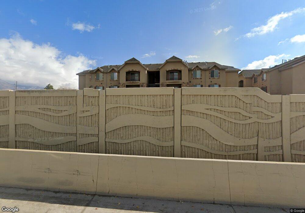
235 N 1200 W Orem, UT 84057
Suncrest NeighborhoodEstimated Value: $315,415 - $365,000
3
Beds
2
Baths
1,313
Sq Ft
$261/Sq Ft
Est. Value
About This Home
This home is located at 235 N 1200 W, Orem, UT 84057 and is currently estimated at $342,104, approximately $260 per square foot. 235 N 1200 W is a home located in Utah County with nearby schools including Orem Junior High School, Mountain View High School, and Franklin Discovery Academy.
Ownership History
Date
Name
Owned For
Owner Type
Purchase Details
Closed on
Oct 24, 2013
Sold by
Told Family Lc
Bought by
Told Family Newport D301 Llc
Current Estimated Value
Purchase Details
Closed on
Mar 14, 2012
Sold by
Williamson Rentals Lc
Bought by
Told Family Lc
Home Financials for this Owner
Home Financials are based on the most recent Mortgage that was taken out on this home.
Original Mortgage
$81,000
Outstanding Balance
$55,535
Interest Rate
3.83%
Mortgage Type
Unknown
Estimated Equity
$286,569
Create a Home Valuation Report for This Property
The Home Valuation Report is an in-depth analysis detailing your home's value as well as a comparison with similar homes in the area
Home Values in the Area
Average Home Value in this Area
Purchase History
| Date | Buyer | Sale Price | Title Company |
|---|---|---|---|
| Told Family Newport D301 Llc | -- | None Available | |
| Told Family Lc | -- | Provo Land Title Co |
Source: Public Records
Mortgage History
| Date | Status | Borrower | Loan Amount |
|---|---|---|---|
| Open | Told Family Lc | $81,000 |
Source: Public Records
Tax History
| Year | Tax Paid | Tax Assessment Tax Assessment Total Assessment is a certain percentage of the fair market value that is determined by local assessors to be the total taxable value of land and additions on the property. | Land | Improvement |
|---|---|---|---|---|
| 2025 | $1,349 | $168,355 | -- | -- |
| 2024 | $1,349 | $299,900 | $0 | $0 |
| 2023 | $2,337 | $307,200 | $0 | $0 |
| 2022 | $2,217 | $282,300 | $28,200 | $254,100 |
| 2021 | $1,148 | $221,400 | $26,600 | $194,800 |
| 2020 | $1,043 | $197,600 | $23,700 | $173,900 |
| 2019 | $964 | $190,000 | $23,000 | $167,000 |
| 2018 | $962 | $181,100 | $23,000 | $158,100 |
| 2017 | $882 | $88,935 | $0 | $0 |
| 2016 | $919 | $85,525 | $0 | $0 |
| 2015 | $935 | $82,225 | $0 | $0 |
| 2014 | $939 | $82,225 | $0 | $0 |
Source: Public Records
Map
Nearby Homes
- 222 N 1200 W Unit 144
- 222 N 1200 W Unit 53
- 222 N 1200 W Unit 84
- 454 N 1235 W
- 1094 W 465 N
- 45 N 970 W
- 1058 W 570 St N
- 155 S 1200 W Unit 69
- 155 S 1200 W Unit 6
- 155 S 1200 W Unit 97
- 896 W 30 S
- 875 W 530 N
- 280 N 750 E
- 206 N 750 E
- 954 W 630 N Unit 34,
- 266 N 725 E
- 489 N Beverly Ave
- 1148 W 285 S
- 278 S 1160 W
- 237 S Ridgeview Dr
- 235 N 1200 W
- 235 N 1200 W
- 235 N 1200 W
- 235 N 1200 W
- 235 N 1200 W
- 235 N 1200 W
- 235 N 1200 W
- 235 N 1200 W
- 235 N 1200 W
- 235 N 1200 W
- 235 N 1200 W
- 235 N 1200 W Unit Newport 301
- 235 N 1200 W Unit 303
- 235 N 1200 W Unit Newport
- 221 N 1200 W Unit 301
- 221 N 1200 W Unit 202
- 221 N 1200 W Unit 201
- 221 N 1200 W Unit 102
- 221 N 1200 W
- 221 N 1200 W
Your Personal Tour Guide
Ask me questions while you tour the home.