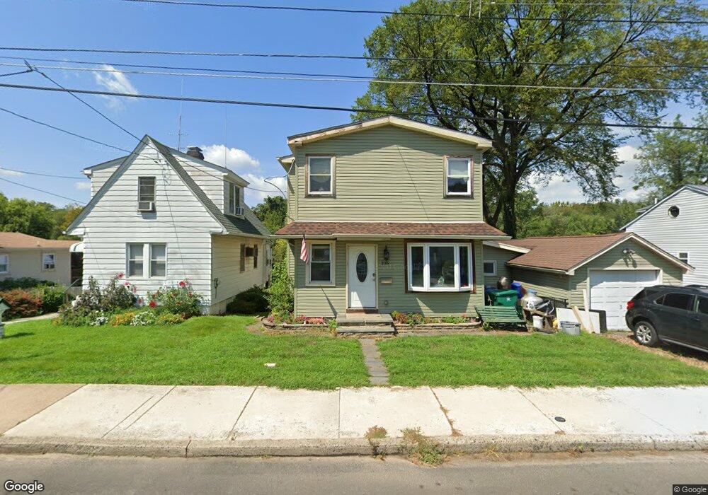
235 Neshaminy Rd Croydon, PA 19021
Estimated Value: $321,000 - $534,000
3
Beds
2
Baths
1,159
Sq Ft
$339/Sq Ft
Est. Value
About This Home
This home is located at 235 Neshaminy Rd, Croydon, PA 19021 and is currently estimated at $392,564, approximately $338 per square foot. 235 Neshaminy Rd is a home located in Bucks County with nearby schools including Truman Senior High School, School Lane Charter School, and St Charles Borromeo School.
Ownership History
Date
Name
Owned For
Owner Type
Purchase Details
Closed on
May 22, 2023
Sold by
Grillo Andrew and Grillo Stephen
Bought by
Grillo Andrew J and Grillo Elizabeth
Current Estimated Value
Home Financials for this Owner
Home Financials are based on the most recent Mortgage that was taken out on this home.
Original Mortgage
$180,097
Outstanding Balance
$175,089
Interest Rate
6.39%
Mortgage Type
FHA
Estimated Equity
$217,475
Purchase Details
Closed on
Feb 26, 2010
Sold by
Griffith Dolores M
Bought by
Grillo Andrew and Grillo Stephen
Home Financials for this Owner
Home Financials are based on the most recent Mortgage that was taken out on this home.
Original Mortgage
$88,369
Interest Rate
5.25%
Mortgage Type
FHA
Purchase Details
Closed on
Nov 23, 2001
Sold by
Griffith Dolores M
Bought by
Griffith Dolores M
Create a Home Valuation Report for This Property
The Home Valuation Report is an in-depth analysis detailing your home's value as well as a comparison with similar homes in the area
Home Values in the Area
Average Home Value in this Area
Purchase History
| Date | Buyer | Sale Price | Title Company |
|---|---|---|---|
| Grillo Andrew J | -- | Wfg National Title | |
| Grillo Andrew | $90,000 | First American Title Ins Co | |
| Griffith Dolores M | -- | -- |
Source: Public Records
Mortgage History
| Date | Status | Borrower | Loan Amount |
|---|---|---|---|
| Open | Grillo Andrew J | $180,097 | |
| Previous Owner | Grillo Andrew | $88,369 |
Source: Public Records
Tax History
| Year | Tax Paid | Tax Assessment Tax Assessment Total Assessment is a certain percentage of the fair market value that is determined by local assessors to be the total taxable value of land and additions on the property. | Land | Improvement |
|---|---|---|---|---|
| 2025 | $4,929 | $18,150 | $3,840 | $14,310 |
| 2024 | $4,929 | $18,150 | $3,840 | $14,310 |
| 2023 | $4,893 | $18,150 | $3,840 | $14,310 |
| 2022 | $4,893 | $18,150 | $3,840 | $14,310 |
| 2021 | $4,893 | $18,150 | $3,840 | $14,310 |
| 2020 | $4,893 | $18,150 | $3,840 | $14,310 |
| 2019 | $4,875 | $18,150 | $3,840 | $14,310 |
| 2018 | $4,796 | $18,150 | $3,840 | $14,310 |
| 2017 | $3,747 | $14,400 | $3,840 | $10,560 |
| 2016 | $3,747 | $14,400 | $3,840 | $10,560 |
| 2015 | $2,632 | $14,400 | $3,840 | $10,560 |
| 2014 | $2,632 | $14,400 | $3,840 | $10,560 |
Source: Public Records
Map
Nearby Homes
- 208 Neshaminy Rd
- 901 Spencer Dr
- 4517 E Yates Rd
- 0 Newportville Rd Unit PABU2115306
- 4387 Bensalem Blvd
- L:15 Dunston Rd
- 916 Stephen Ave
- 0 Allen Ave
- 530 Main Ave
- 1103 Nancy Dr
- 3933 Wrexham Ct
- 1016 Weybridge Ct
- 4124 Salford Ct
- 1306 Spencer Dr
- 805 State Rd
- 730 Excelsior Ave
- 813 Fifth Ave
- 1049 Wayland Ave
- 323 Harvard Square
- 419 Rutgers Ct
- 231 Neshaminy Rd
- 239 Neshaminy Rd
- 227 Neshaminy Rd
- 243 Neshaminy Rd
- 223 Neshaminy Rd
- 228 Neshaminy Rd
- 311 Neshaminy Rd
- 221 Neshaminy Rd
- 219 Neshaminy Rd
- 225 Clover Ave
- 218 Neshaminy Rd
- 315 Neshaminy Rd
- 219 Clover Ave
- 215 Neshaminy Rd
- 212 Neshaminy Rd
- 217 Clover Ave
- 209 Neshaminy Rd
- 319 Neshaminy Rd
- 215 Clover Ave
- 238 Clover Ave
Your Personal Tour Guide
Ask me questions while you tour the home.