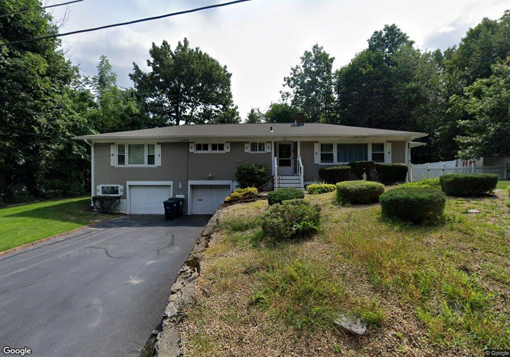
235 Parker Ave Holden, MA 01520
Estimated Value: $470,000 - $531,000
2
Beds
2
Baths
1,728
Sq Ft
$287/Sq Ft
Est. Value
About This Home
This home is located at 235 Parker Ave, Holden, MA 01520 and is currently estimated at $496,707, approximately $287 per square foot. 235 Parker Ave is a home located in Worcester County with nearby schools including Wachusett Regional High School, Abby Kelley Foster Charter Public School, and Bancroft School.
Ownership History
Date
Name
Owned For
Owner Type
Purchase Details
Closed on
Apr 18, 2025
Sold by
Hassey Kathleen A
Bought by
Hassey Carrigan T and Hassey H
Current Estimated Value
Purchase Details
Closed on
Sep 17, 2009
Sold by
Franklin J Carrigan T J and Franklin Carrigan
Bought by
Hassey Kathleen A
Purchase Details
Closed on
Feb 5, 2008
Sold by
Carrigan Ann T and Carrigan Franklin J
Bought by
Carrigan Franklin J and Franklin Carrigan
Create a Home Valuation Report for This Property
The Home Valuation Report is an in-depth analysis detailing your home's value as well as a comparison with similar homes in the area
Home Values in the Area
Average Home Value in this Area
Purchase History
| Date | Buyer | Sale Price | Title Company |
|---|---|---|---|
| Hassey Carrigan T | -- | None Available | |
| Hassey Carrigan T | -- | None Available | |
| Hassey Kathleen A | -- | None Available | |
| Hassey Kathleen A | -- | None Available | |
| Hassey Kathleen A | -- | -- | |
| Carrigan Franklin J | -- | -- | |
| Hassey Kathleen A | -- | -- | |
| Carrigan Franklin J | -- | -- | |
| Franklin J Carrigan Ir J | -- | -- | |
| Carrigan Franklin J | -- | -- |
Source: Public Records
Mortgage History
| Date | Status | Borrower | Loan Amount |
|---|---|---|---|
| Previous Owner | Carrigan Franklin J | $367,500 | |
| Previous Owner | Carrigan Franklin J | $69,600 |
Source: Public Records
Tax History
| Year | Tax Paid | Tax Assessment Tax Assessment Total Assessment is a certain percentage of the fair market value that is determined by local assessors to be the total taxable value of land and additions on the property. | Land | Improvement |
|---|---|---|---|---|
| 2025 | $5,913 | $426,600 | $135,900 | $290,700 |
| 2024 | $5,758 | $406,900 | $131,900 | $275,000 |
| 2023 | $5,591 | $373,000 | $114,700 | $258,300 |
| 2022 | $5,485 | $331,200 | $89,600 | $241,600 |
| 2021 | $5,283 | $303,600 | $85,300 | $218,300 |
| 2020 | $4,634 | $272,600 | $81,200 | $191,400 |
| 2019 | $4,540 | $260,200 | $81,200 | $179,000 |
| 2018 | $4,251 | $241,400 | $77,300 | $164,100 |
| 2017 | $4,135 | $235,100 | $77,300 | $157,800 |
| 2016 | $3,883 | $225,100 | $73,600 | $151,500 |
| 2015 | $3,852 | $212,600 | $73,600 | $139,000 |
| 2014 | $3,774 | $212,600 | $73,600 | $139,000 |
Source: Public Records
Map
Nearby Homes
- 210 Parker Ave
- 15 Parker Rd
- 239 Woodland St Unit 3
- 38 Juniper Ln
- 6 Idalla Ave
- 31 Danielles Way
- 328 Brooks St
- 25 Dixfield Rd
- 10 Malden St
- 149 Woodland St
- 1 Triangle St
- 22 Apthorp St
- 250 Shrewsbury St
- 47 Eustis St
- 521 Burncoat St
- 7 Alpine Dr
- 189 Holden St
- 146 Shrewsbury St
- 25 Heritage Ln
- 18 Danielles Way
Your Personal Tour Guide
Ask me questions while you tour the home.