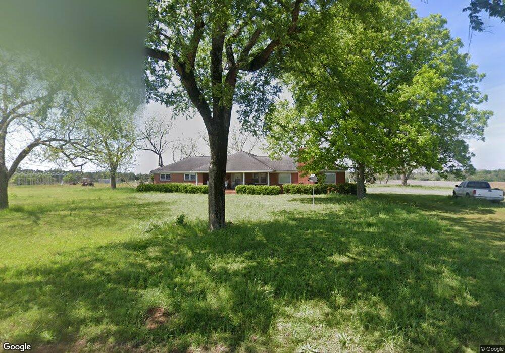
2355 Smith Durham Rd Ashburn, GA 31714
Estimated Value: $183,000 - $416,000
4
Beds
2
Baths
2,949
Sq Ft
$97/Sq Ft
Est. Value
About This Home
This home is located at 2355 Smith Durham Rd, Ashburn, GA 31714 and is currently estimated at $285,263, approximately $96 per square foot. 2355 Smith Durham Rd is a home located in Turner County with nearby schools including Turner County Elementary School, Turner County Middle School, and Turner County High School.
Ownership History
Date
Name
Owned For
Owner Type
Purchase Details
Closed on
Oct 20, 2020
Sold by
Lucas Thomas
Bought by
Arant Ronald Leon
Current Estimated Value
Purchase Details
Closed on
May 11, 2009
Sold by
Peake George W
Bought by
Lucas Thomas and Lucas Cheryl
Purchase Details
Closed on
Jun 12, 2008
Sold by
Tolleson Land Investment P
Bought by
Peake George W
Purchase Details
Closed on
Jan 11, 2008
Sold by
Durham Ray Malone
Bought by
Tolleson Land Investment Prope
Purchase Details
Closed on
Apr 14, 1999
Sold by
Durham Helen
Bought by
Durham Ray M and Durham Sidne
Create a Home Valuation Report for This Property
The Home Valuation Report is an in-depth analysis detailing your home's value as well as a comparison with similar homes in the area
Purchase History
| Date | Buyer | Sale Price | Title Company |
|---|---|---|---|
| Arant Ronald Leon | $100,000 | -- | |
| Lucas Thomas | $235,000 | -- | |
| Peake George W | $169,031 | -- | |
| Tolleson Land Investment Prope | $154,992 | -- | |
| Durham Ray M | -- | -- |
Source: Public Records
Tax History
| Year | Tax Paid | Tax Assessment Tax Assessment Total Assessment is a certain percentage of the fair market value that is determined by local assessors to be the total taxable value of land and additions on the property. | Land | Improvement |
|---|---|---|---|---|
| 2025 | $1,787 | $85,971 | $7,652 | $78,319 |
| 2024 | $1,805 | $74,704 | $7,652 | $67,052 |
| 2023 | $1,054 | $41,969 | $3,920 | $38,049 |
| 2022 | $1,054 | $41,969 | $3,920 | $38,049 |
| 2021 | $1,277 | $41,969 | $3,920 | $38,049 |
| 2020 | $1,776 | $83,751 | $45,702 | $38,049 |
| 2019 | $1,705 | $83,751 | $45,702 | $38,049 |
| 2018 | $2,679 | $83,751 | $45,702 | $38,049 |
| 2017 | $2,679 | $83,751 | $45,702 | $38,049 |
| 2016 | $1,659 | $83,751 | $45,702 | $38,049 |
| 2015 | -- | $83,751 | $45,702 | $38,049 |
| 2014 | -- | $83,751 | $45,702 | $38,049 |
Source: Public Records
Map
Nearby Homes
- 846 Hawpond Rd
- 2691 Amboy-Rebecca Rd
- 0 Powell Rd
- 0 W Depot St
- 0 Powell Rd Tract 2 Unit 24959
- 0 Powell Rd Tract 2 Unit 10678971
- 107 10th St
- 0 Arms Rd Unit 26542668
- 0 Lois Rd
- 127 Powell Rd
- 0 Mann Rd
- 0 Powell Rd Tract 1 Rd
- 245 Green Valley Rd
- 0 Julianne Rd Unit 10585704
- 0 Julianne Rd Unit 25546419
- 203 1st St E
- 174 1st St E
- 0 Snowridge Rd
- 800 Listonia Rd
- 104 4th St
Your Personal Tour Guide
Ask me questions while you tour the home.