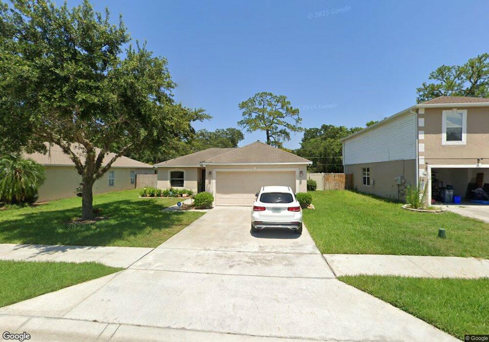
236 Mckay Blvd Sanford, FL 32771
Estimated Value: $232,000 - $300,000
3
Beds
2
Baths
1,264
Sq Ft
$212/Sq Ft
Est. Value
About This Home
This home is located at 236 Mckay Blvd, Sanford, FL 32771 and is currently estimated at $268,047, approximately $212 per square foot. 236 Mckay Blvd is a home located in Seminole County with nearby schools including Hamilton Elementary School, Midway Elementary School, and Pine Crest Elementary School.
Ownership History
Date
Name
Owned For
Owner Type
Purchase Details
Closed on
Apr 9, 2021
Sold by
Taylor Michelle
Bought by
Brooks Kathleen
Current Estimated Value
Purchase Details
Closed on
Nov 17, 2004
Sold by
Maronda Homes Inc Of Florida
Bought by
Brooks Kathleen and Brooks Eva B Smith
Home Financials for this Owner
Home Financials are based on the most recent Mortgage that was taken out on this home.
Original Mortgage
$92,971
Interest Rate
5.66%
Mortgage Type
FHA
Purchase Details
Closed on
Jul 1, 2004
Bought by
Brooks Kathleen
Purchase Details
Closed on
Apr 1, 2004
Bought by
Brooks Kathleen
Create a Home Valuation Report for This Property
The Home Valuation Report is an in-depth analysis detailing your home's value as well as a comparison with similar homes in the area
Home Values in the Area
Average Home Value in this Area
Purchase History
| Date | Buyer | Sale Price | Title Company |
|---|---|---|---|
| Brooks Kathleen | -- | None Available | |
| Brooks Kathleen | $107,600 | Kampf Title & Guaranty Corp | |
| Brooks Kathleen | $100 | -- | |
| Brooks Kathleen | $471,300 | -- |
Source: Public Records
Mortgage History
| Date | Status | Borrower | Loan Amount |
|---|---|---|---|
| Previous Owner | Brooks Kathleen | $92,971 | |
| Closed | Brooks Kathleen | $20,000 |
Source: Public Records
Tax History
| Year | Tax Paid | Tax Assessment Tax Assessment Total Assessment is a certain percentage of the fair market value that is determined by local assessors to be the total taxable value of land and additions on the property. | Land | Improvement |
|---|---|---|---|---|
| 2025 | $2,119 | $160,179 | -- | -- |
| 2024 | $1,998 | $155,665 | -- | -- |
| 2023 | $1,930 | $151,131 | $0 | $0 |
| 2021 | $1,714 | $118,949 | $0 | $0 |
| 2020 | $1,529 | $113,919 | $0 | $0 |
| 2019 | $1,443 | $111,055 | $0 | $0 |
| 2018 | $1,328 | $102,435 | $0 | $0 |
| 2017 | $1,235 | $86,563 | $0 | $0 |
| 2016 | $1,173 | $86,066 | $0 | $0 |
| 2015 | $988 | $76,835 | $0 | $0 |
| 2014 | $988 | $77,410 | $0 | $0 |
Source: Public Records
Map
Nearby Homes
- 125 Cedar Ridge Ln
- 0000 2nd Dr
- 1777 Burrows Ln
- 141 Scott Dr
- 1760 Roseberry Ln
- 0 Mckay Blvd
- 103 Hughes Ave
- 104 Hughes Ave
- 186 Cedar Ridge Ln
- 0 E 20th St
- 2009 S Summerlin Ave
- 2395 Key Ave
- 2402 Stevens Ave
- 2319 S Summerlin Ave
- 1515 S Elliott St
- 1500 S Summerlin Ave
- 2045 Washington Ave
- 102 Wheatfield Cir
- 1245 Celery Oaks Ln
- 210 Fairfield Dr
Your Personal Tour Guide
Ask me questions while you tour the home.