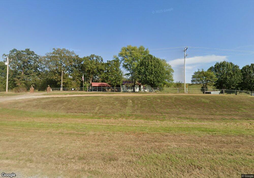
23602 State Highway 112 Cameron, OK 74932
Estimated Value: $135,892 - $214,000
3
Beds
2
Baths
1,200
Sq Ft
$157/Sq Ft
Est. Value
About This Home
This home is located at 23602 State Highway 112, Cameron, OK 74932 and is currently estimated at $188,473, approximately $157 per square foot. 23602 State Highway 112 is a home located in Le Flore County with nearby schools including Cameron Elementary School and Cameron High School.
Ownership History
Date
Name
Owned For
Owner Type
Purchase Details
Closed on
May 1, 2021
Sold by
Hamilton Patricia E and Russell Newstadt
Bought by
Mitchell Royalty
Current Estimated Value
Purchase Details
Closed on
May 10, 2010
Sold by
Williams Larry George and Williams Marilyn
Bought by
Williams Kevin Ray
Home Financials for this Owner
Home Financials are based on the most recent Mortgage that was taken out on this home.
Original Mortgage
$72,586
Interest Rate
5.14%
Mortgage Type
Future Advance Clause Open End Mortgage
Create a Home Valuation Report for This Property
The Home Valuation Report is an in-depth analysis detailing your home's value as well as a comparison with similar homes in the area
Purchase History
| Date | Buyer | Sale Price | Title Company |
|---|---|---|---|
| Mitchell Royalty | $11,500 | None Available | |
| Williams Kevin Ray | -- | -- | |
| Williams Kevin Ray | -- | -- |
Source: Public Records
Mortgage History
| Date | Status | Borrower | Loan Amount |
|---|---|---|---|
| Previous Owner | Williams Kevin Ray | $72,586 |
Source: Public Records
Tax History
| Year | Tax Paid | Tax Assessment Tax Assessment Total Assessment is a certain percentage of the fair market value that is determined by local assessors to be the total taxable value of land and additions on the property. | Land | Improvement |
|---|---|---|---|---|
| 2025 | $395 | $5,037 | $511 | $4,526 |
| 2023 | $384 | $4,748 | $481 | $4,267 |
| 2022 | $362 | $4,610 | $467 | $4,143 |
| 2021 | $351 | $4,475 | $453 | $4,022 |
| 2020 | $341 | $4,345 | $440 | $3,905 |
| 2019 | $331 | $4,218 | $395 | $3,823 |
| 2018 | $322 | $4,096 | $390 | $3,706 |
| 2017 | $312 | $3,976 | $367 | $3,609 |
| 2016 | $303 | $3,861 | $370 | $3,491 |
| 2015 | $295 | $3,748 | $396 | $3,352 |
| 2014 | $287 | $3,639 | $374 | $3,265 |
Source: Public Records
Map
Nearby Homes
- 14630 Edwards Loop
- 107 Briarwood
- 1205 W George Ave
- 1005 W George Ave
- 103 E George Ave
- 205 E George Ave
- 3204 W George Ave
- 24506 Green Rd
- 11238 Liberty Hill Rd
- 305 Martindale Ln
- 300 Park Ln
- 900 W Hackett Rd
- 602 Martindale Ln
- 23694 Old Highway 112
- 106 Cowan Ln
- 600 E Mckenzie Ave
- 26354 Ross Rd
- TBD Oklahoma 112
- Tract 6 Knot Hole Rd
- TBD S Pocola Blvd
- 23123 Oklahoma 112
- 23736 Oklahoma 112
- 23132 Old Highway 112
- 23727 Smith Loop
- 23896 State Highway 112
- 13056 Rock Island Rd
- 13056 Rock Island Rd
- 14137 Edwards Loop
- 12986 Rock Island Rd
- 23323 Smith Loop
- 23171 Smith Loop
- 14132 Edwards Loop
- 14283 Edwards Loop
- 14283 Edwards Loop
- 13391 Morris Loop
- 13183 Oklahoma 120
- 13183 State Highway 120
- 13230 Morris Loop
- 13397 Morris Loop
- 13153 St W Hwy 120
Your Personal Tour Guide
Ask me questions while you tour the home.