2370 Ashbrook Dr Springfield, OH 45502
Estimated Value: $418,000 - $473,000
About This Home
This home is located at 2370 Ashbrook Dr, Springfield, OH 45502 and is currently estimated at $437,673, approximately $184 per square foot. 2370 Ashbrook Dr is a home located in Clark County with nearby schools including Greenon Elementary School, Greenon Jr. High School, and Greenon High School.
Ownership History
We collect this data history from publicly available records. To have your information removed, we recommend requesting removal directly through your county’s website.
Purchase Details
Home Financials for this Owner
Home Financials are based on the most recent Mortgage that was taken out on this home.Purchase History
We collect this data history from publicly available records. To have your information removed, we recommend requesting removal directly through your county’s website.
| Date | Buyer | Sale Price | Title Company |
|---|---|---|---|
| $221,000 | -- |
Mortgage History
We collect this data history from publicly available records. To have your information removed, we recommend requesting removal directly through your county’s website.
| Date | Status | Borrower | Loan Amount |
|---|---|---|---|
| Closed | $221,000 |
Tax History
We collect this data history from publicly available records. To have your information removed, we recommend requesting removal directly through your county’s website.
| Year | Tax Paid | Tax Assessment Tax Assessment Total Assessment is a certain percentage of the fair market value that is determined by local assessors to be the total taxable value of land and additions on the property. | Land | Improvement |
|---|---|---|---|---|
| 2025 | $5,805 | $145,150 | $22,920 | $122,230 |
| 2024 | $5,667 | $108,380 | $19,260 | $89,120 |
| 2023 | $5,667 | $108,380 | $19,260 | $89,120 |
| 2022 | $5,662 | $108,380 | $19,260 | $89,120 |
| 2021 | $5,466 | $92,720 | $16,050 | $76,670 |
| 2020 | $5,480 | $92,720 | $16,050 | $76,670 |
| 2019 | $5,554 | $92,720 | $16,050 | $76,670 |
| 2018 | $4,729 | $77,220 | $13,760 | $63,460 |
| 2017 | $4,740 | $79,961 | $13,755 | $66,206 |
| 2016 | $4,131 | $79,961 | $13,755 | $66,206 |
| 2015 | $4,454 | $78,943 | $12,737 | $66,206 |
| 2014 | $4,463 | $78,943 | $12,737 | $66,206 |
| 2013 | $3,926 | $78,943 | $12,737 | $66,206 |
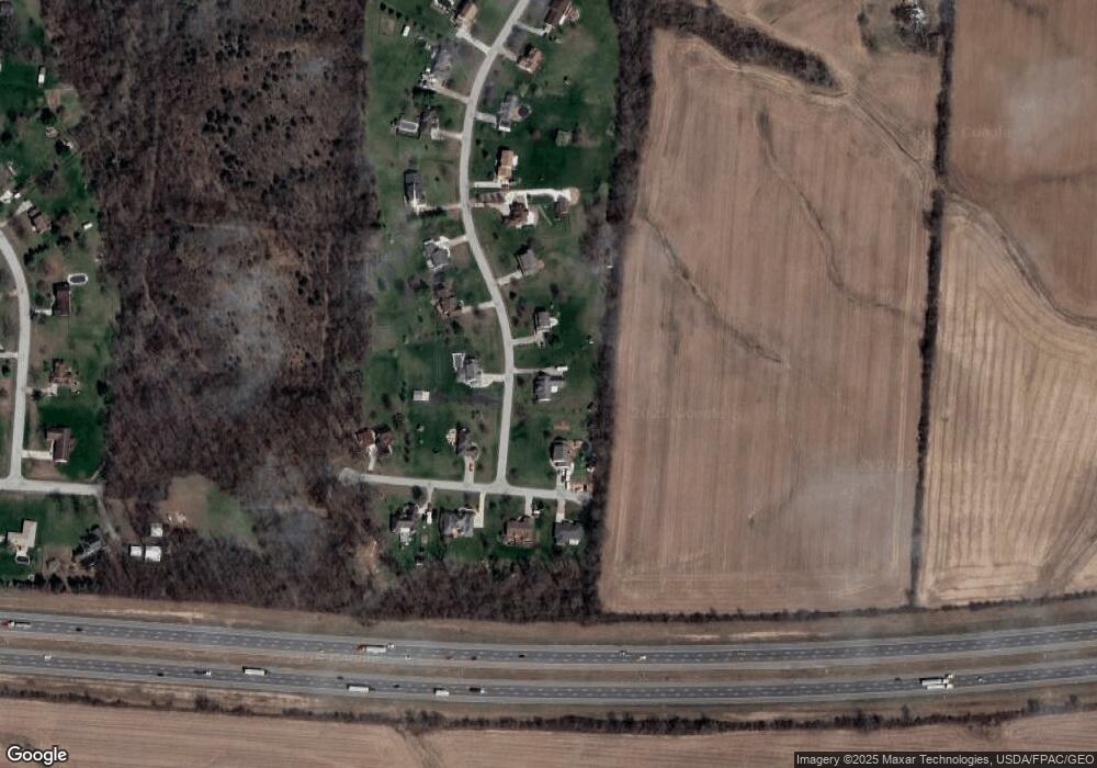
Map
- 3190 Rebert Pike
- 2693 Ehrhart Dr
- 3183 Lower Valley Pike
- 4845 Broadway Rd
- 3319 Wendover St
- 2976 Arthur Rd
- 2684 Arthur Rd
- 3267 Lower Valley Pike Unit Tract 2
- 2821 Dayton Springfield Rd
- 316 S Tecumseh Rd
- 5031 W National Rd
- 3753 W National Rd
- 29 Gordon Rd
- 3689 W National Rd
- 2950 Fairfield Pike
- 198 E Downey Dr
- 80 Carlisle Ave
- 288 Gordon Rd
- 4461 New Carlisle Pike
- 344 Greenacres Dr
- 2320 Ashbrook Dr
- 2390 Ashbrook Dr
- 2345 Ashbrook Dr
- 2270 Ashbrook Dr
- 2295 Ashbrook Dr
- 4127 Tree Line Ave
- 4151 Tree Line Ave
- 2220 Ashbrook Dr
- 4167 Tree Line Ave
- 2245 Ashbrook Dr
- 4210 Tree Line Ave
- 4187 Tree Line Ave
- 2195 Ashbrook Dr
- 2120 Ashbrook Dr
- 2145 Ashbrook Dr
- 2070 Ashbrook Dr
- 2095 Ashbrook Dr
- 2020 Ashbrook Dr
- 2045 Ashbrook Dr
- 1980 Ashbrook Dr
Ask me questions while you tour the home.