2374 Strickland Rd Concord, GA 30206
Estimated Value: $282,000 - $1,910,493
Studio
1
Bath
1,400
Sq Ft
$783/Sq Ft
Est. Value
About This Home
This home is located at 2374 Strickland Rd, Concord, GA 30206 and is currently estimated at $1,096,247, approximately $783 per square foot. 2374 Strickland Rd is a home located in Pike County with nearby schools including Pike County Primary School, Pike County Elementary School, and Pike County Middle School.
Ownership History
Date
Name
Owned For
Owner Type
Purchase Details
Closed on
May 20, 2016
Sold by
Diastole Investments Lllp
Bought by
Diastole Investments Lllp
Current Estimated Value
Purchase Details
Closed on
Oct 7, 2015
Sold by
Jones Ellis L Sr Estate and Jones Beth Colem
Bought by
Diastole Investments Lllp
Purchase Details
Closed on
Oct 29, 2007
Sold by
Jones Ellis L Sr Estate
Bought by
Diastole Investments Lllp
Purchase Details
Closed on
Feb 24, 2004
Sold by
Jones Ellis L and Jones Beth Coleman
Bought by
Diastole Investments Lllp
Purchase Details
Closed on
Jan 1, 1977
Sold by
Newbern Kenneth P
Bought by
Jones Ellis L and Beth Coleman
Purchase Details
Closed on
Dec 30, 1975
Sold by
Newbern Kenneth P
Bought by
Jones Ellis L and Beth Coleman
Create a Home Valuation Report for This Property
The Home Valuation Report is an in-depth analysis detailing your home's value as well as a comparison with similar homes in the area
Purchase History
| Date | Buyer | Sale Price | Title Company |
|---|---|---|---|
| Diastole Investments Lllp | -- | -- | |
| Diastole Investments Lllp | -- | -- | |
| Diastole Investments Lllp | -- | -- | |
| Diastole Investments Lllp | -- | -- | |
| Diastole Investments Lllp | -- | -- | |
| Jones Ellis L | -- | -- | |
| Jones Ellis L | $16,300 | -- | |
| Jones Ellis L | $209,400 | -- |
Source: Public Records
Tax History
| Year | Tax Paid | Tax Assessment Tax Assessment Total Assessment is a certain percentage of the fair market value that is determined by local assessors to be the total taxable value of land and additions on the property. | Land | Improvement |
|---|---|---|---|---|
| 2025 | $7,369 | $396,950 | $209,349 | $187,601 |
| 2024 | $7,540 | $691,101 | $508,657 | $182,444 |
| 2023 | $8,734 | $691,101 | $508,657 | $182,444 |
| 2022 | $6,649 | $506,998 | $391,274 | $115,724 |
| 2021 | $6,739 | $406,783 | $291,059 | $115,724 |
| 2020 | $5,719 | $406,783 | $291,059 | $115,724 |
| 2019 | $6,785 | $384,642 | $291,059 | $93,583 |
| 2018 | $6,693 | $384,642 | $291,059 | $93,583 |
| 2017 | $6,546 | $384,642 | $291,059 | $93,583 |
| 2016 | $5,991 | $384,642 | $291,059 | $93,583 |
| 2015 | $5,435 | $386,586 | $291,059 | $95,526 |
| 2014 | $5,437 | $386,586 | $291,059 | $95,526 |
| 2013 | -- | $386,585 | $291,059 | $95,526 |
Source: Public Records
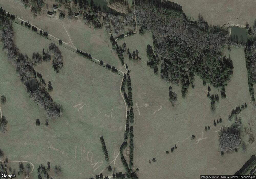
Map
Nearby Homes
- 667 Hamilton Rd
- TRACT 1 Bates Rd (14 05acs)
- TRACT 2 Bates Rd (56 99acs)
- 0 W Fossett Rd Unit 10629253
- 764 Bates Rd (228 96acs)
- TRACT 6 & 7 Bates Rd (47 4acs)
- 0 Pedenville Rd Unit 10710730
- 360 Indian Trail
- 0 Indian Trail Unit 10530670
- 1766 Bates Rd
- 243 Flint Farms Dr
- 126 Flint Farms Dr
- LOT 20 Flint Farms Dr
- LOT 12 Flint Farms Dr
- LOT 30 Flint Farms Dr
- LOT 11 Flint Farms Dr
- LOT 13 Flint Farms Dr
- TRACT 5 Bates Rd (13 98acs)
- 291 Harris St
- 0 Bagwell Rd Unit 10511111
- 2374 Strickland Rd
- 2651 Strickland Rd
- 1422 Flat Shoals Rd
- 1370 Flat Shoals Rd
- 1342 Flat Shoals Rd
- 1506 Flat Shoals Rd
- 1224 Flat Shoals Rd
- 1395 Flat Shoals Rd
- 1455 Flat Shoals Rd
- 1455 Flat Shoals Rd Unit 6
- 1355 Flat Shoals Rd
- 1572 Flat Shoals Rd
- 1327 Flat Shoals Rd
- 1596 Flat Shoals Rd
- 1301 Flat Shoals Rd
- 2451 Strickland Rd Unit 6
- 2451 Strickland Rd
- 1515 Flat Shoals Rd
- 1202 Flat Shoals Rd
- 1233 Flat Shoals Rd
Your Personal Tour Guide
Ask me questions while you tour the home.