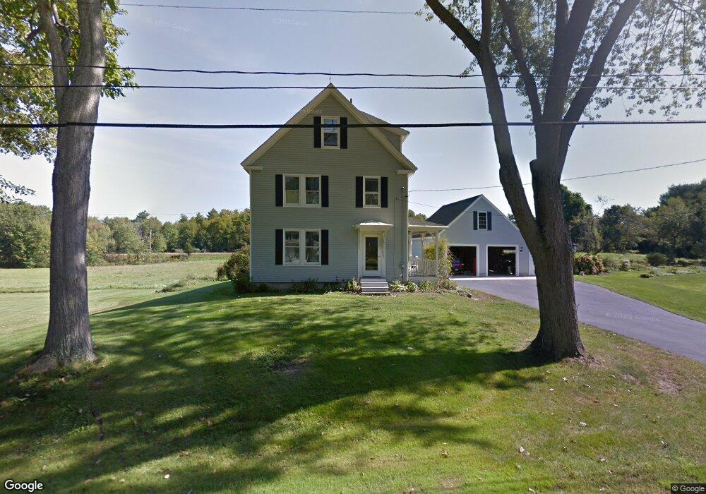
238 Fore Rd Eliot, ME 03903
South Eliot NeighborhoodEstimated Value: $451,279 - $532,000
3
Beds
2
Baths
1,632
Sq Ft
$305/Sq Ft
Est. Value
About This Home
This home is located at 238 Fore Rd, Eliot, ME 03903 and is currently estimated at $497,820, approximately $305 per square foot. 238 Fore Rd is a home located in York County with nearby schools including Marshwood High School and Seacoast Waldorf School.
Ownership History
Date
Name
Owned For
Owner Type
Purchase Details
Closed on
Nov 23, 2021
Sold by
Chase Gail
Bought by
Gail P Chase Ft 2021 and Chase
Current Estimated Value
Purchase Details
Closed on
Apr 25, 2006
Sold by
Shapleigh Madaline
Bought by
Chase Gail and Chase Roland F
Create a Home Valuation Report for This Property
The Home Valuation Report is an in-depth analysis detailing your home's value as well as a comparison with similar homes in the area
Home Values in the Area
Average Home Value in this Area
Purchase History
We collect this data history from publicly available records. To have your information removed, we recommend requesting removal directly through your county’s website.
| Date | Buyer | Sale Price | Title Company |
|---|---|---|---|
| Gail P Chase Ft 2021 | -- | None Available | |
| Chase Gail | -- | -- | |
| Chase Gail P | -- | -- |
Source: Public Records
Tax History
| Year | Tax Paid | Tax Assessment Tax Assessment Total Assessment is a certain percentage of the fair market value that is determined by local assessors to be the total taxable value of land and additions on the property. | Land | Improvement |
|---|---|---|---|---|
| 2025 | $3,350 | $297,800 | $128,600 | $169,200 |
| 2024 | $3,386 | $285,700 | $116,500 | $169,200 |
| 2023 | $3,272 | $267,100 | $110,500 | $156,600 |
| 2022 | $3,152 | $260,500 | $110,500 | $150,000 |
| 2021 | $3,006 | $252,100 | $105,500 | $146,600 |
| 2020 | $3,507 | $238,600 | $100,500 | $138,100 |
| 2019 | $3,507 | $238,600 | $100,500 | $138,100 |
| 2018 | $3,507 | $238,600 | $100,500 | $138,100 |
| 2017 | $3,412 | $238,600 | $100,500 | $138,100 |
| 2016 | $3,352 | $238,600 | $100,500 | $138,100 |
| 2015 | $3,322 | $237,300 | $100,500 | $136,800 |
| 2014 | $3,275 | $237,300 | $100,500 | $136,800 |
| 2013 | $3,125 | $237,300 | $100,500 | $136,800 |
Source: Public Records
Map
Nearby Homes
- 222 River Rd
- 60 Pine Hill Rd S Unit 315
- 60 Pine Hill Rd S Unit 318
- 19 Cote Dr
- 0 Franks Fort Island Unit 1650383
- 3 Blue Heron Dr
- 21 Clearwater Dr
- 0 Cote Dr Unit 55B
- 1232 State Rd
- 33 Little Bay Dr
- 348 Dover Point Rd
- 354 Dover Point Rd
- 18 Little Bay Dr
- 28 Little Bay Dr
- SLIP 13 Little Bay Marina
- SLIP 28 Little Bay Marina
- Slip B18 Little Bay
- 2 Blue Heron Dr
- 71 Shipwright Way
- 18 Deborah Ln
Your Personal Tour Guide
Ask me questions while you tour the home.