239 Cattail Trail Benton, LA 71006
Dukedale-Vanceville NeighborhoodEstimated Value: $426,000 - $632,000
About This Home
This home is located at 239 Cattail Trail, Benton, LA 71006 and is currently estimated at $565,300, approximately $171 per square foot. 239 Cattail Trail is a home located in Bossier Parish with nearby schools including Kingston Elementary School, Benton Middle School, and Benton High School.
Ownership History
We collect this data history from publicly available records. To have your information removed, we recommend requesting removal directly through your county’s website.
Purchase Details
Home Financials for this Owner
Home Financials are based on the most recent Mortgage that was taken out on this home.Purchase Details
Home Financials for this Owner
Home Financials are based on the most recent Mortgage that was taken out on this home.Purchase Details
Home Values in the Area
Average Home Value in this Area
Purchase History
We collect this data history from publicly available records. To have your information removed, we recommend requesting removal directly through your county’s website.
| Date | Buyer | Sale Price | Title Company |
|---|---|---|---|
| $225,000 | None Available | ||
| $40,000 | None Available | ||
| -- | None Available |
Mortgage History
We collect this data history from publicly available records. To have your information removed, we recommend requesting removal directly through your county’s website.
| Date | Status | Borrower | Loan Amount |
|---|---|---|---|
| Open | $194,000 | ||
| Closed | $133,000 | ||
| Closed | $100,000 | ||
| Closed | $234,500 | ||
| Closed | $160,000 | ||
| Closed | $200,000 | ||
| Closed | $350,000 |
Tax History
We collect this data history from publicly available records. To have your information removed, we recommend requesting removal directly through your county’s website.
| Year | Tax Paid | Tax Assessment Tax Assessment Total Assessment is a certain percentage of the fair market value that is determined by local assessors to be the total taxable value of land and additions on the property. | Land | Improvement |
|---|---|---|---|---|
| 2025 | $5,662 | $53,535 | $8,000 | $45,535 |
| 2024 | $5,720 | $53,535 | $8,000 | $45,535 |
| 2023 | $4,256 | $39,683 | $6,000 | $33,683 |
| 2022 | $4,234 | $39,683 | $6,000 | $33,683 |
| 2021 | $4,170 | $39,683 | $6,000 | $33,683 |
| 2020 | $4,170 | $39,683 | $6,000 | $33,683 |
| 2019 | $3,939 | $37,500 | $4,500 | $33,000 |
| 2018 | $3,939 | $37,500 | $4,500 | $33,000 |
| 2017 | $3,893 | $37,500 | $4,500 | $33,000 |
| 2016 | $3,893 | $37,500 | $4,500 | $33,000 |
| 2015 | $3,656 | $37,330 | $4,500 | $32,830 |
| 2014 | $3,652 | $37,330 | $4,500 | $32,830 |
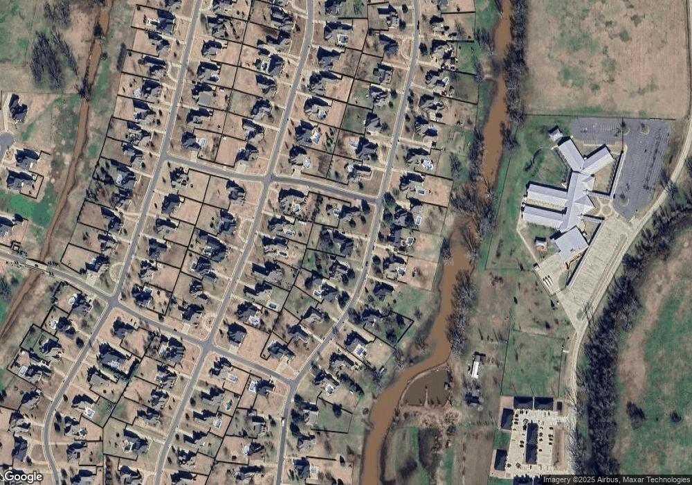
Map
- 252 Cattail Trail
- 200 Colonel Burt Dr
- 272 Cattail Trail
- 814 Dumaine Dr
- 738 Smokehouse Loop
- 798 Dumaine Dr
- 210 Poydras Ave
- 1034 Maize St
- 793 Dumaine Dr
- 214 Apalachee Way
- 716 Dumaine Dr
- 605 Canoe Trail
- 343 Camelback Dr
- 106 Pear Tree Ln
- 429 Remington Dr
- 5233 Timothy Trail
- 329 Camelback Dr
- 678 Dumaine Dr
- 672 Dumaine Dr
- 265 Poydras Ave
- 237 Cattail Trail
- 235 Cattail Trail
- 233 Cattail Trail
- 241 Cattail Trail
- 322 Tanyard Trace
- 318 Tanyard Trace
- 238 Cattail Trail
- 236 Cattail Trail
- 320 Tanyard Trace
- 234 Cattail Trail
- 316 Tanyard Trace
- 231 Cattail Trail
- 324 Tanyard Trace
- 232 Cattail Trail
- 242 Cattail Trail
- 314 Tanyard Trace
- 243 Cattail Trail
- 230 Cattail Trail
- 229 Cattail Trail
- 244 Cattail Trail
Ask me questions while you tour the home.