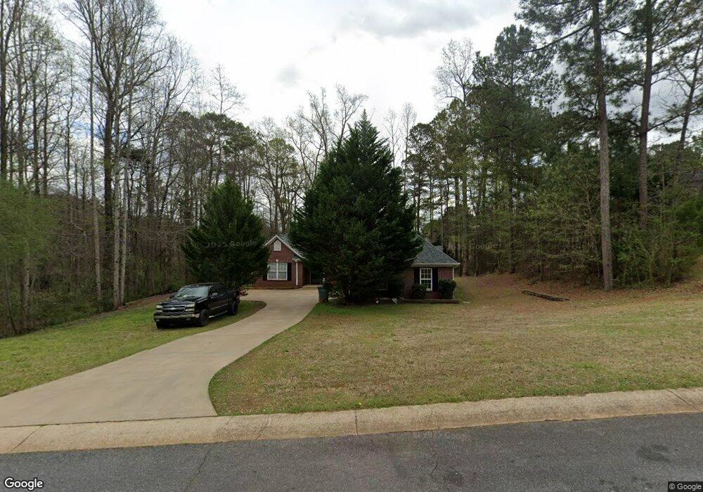
239 Old Pond Rd Unit N Lagrange, GA 30241
Estimated Value: $253,000 - $300,000
About This Home
This home is located at 239 Old Pond Rd Unit N, Lagrange, GA 30241 and is currently estimated at $273,114, approximately $154 per square foot. 239 Old Pond Rd Unit N is a home located in Troup County with nearby schools including Callaway Elementary School, Hogansville Elementary School, and Callaway Middle School.
Ownership History
We collect this data history from publicly available records. To have your information removed, we recommend requesting removal directly through your county’s website.
Purchase Details
Home Financials for this Owner
Home Financials are based on the most recent Mortgage that was taken out on this home.Purchase Details
Purchase Details
Purchase Details
Purchase History
We collect this data history from publicly available records. To have your information removed, we recommend requesting removal directly through your county’s website.
| Date | Buyer | Sale Price | Title Company |
|---|---|---|---|
| $170,000 | -- | ||
| $161,500 | -- | ||
| $36,500 | -- | ||
| -- | -- |
Mortgage History
We collect this data history from publicly available records. To have your information removed, we recommend requesting removal directly through your county’s website.
| Date | Status | Borrower | Loan Amount |
|---|---|---|---|
| Open | $166,920 |
Tax History
We collect this data history from publicly available records. To have your information removed, we recommend requesting removal directly through your county’s website.
| Year | Tax Paid | Tax Assessment Tax Assessment Total Assessment is a certain percentage of the fair market value that is determined by local assessors to be the total taxable value of land and additions on the property. | Land | Improvement |
|---|---|---|---|---|
| 2025 | $2,662 | $103,480 | $14,000 | $89,480 |
| 2024 | $2,469 | $92,520 | $14,000 | $78,520 |
| 2023 | $2,520 | $94,400 | $14,000 | $80,400 |
| 2022 | $2,146 | $78,880 | $10,000 | $68,880 |
| 2021 | $2,216 | $75,480 | $8,000 | $67,480 |
| 2020 | $2,216 | $75,480 | $8,000 | $67,480 |
| 2019 | $2,001 | $68,320 | $8,000 | $60,320 |
| 2018 | $1,991 | $68,320 | $8,000 | $60,320 |
| 2017 | $1,728 | $57,280 | $8,000 | $49,280 |
| 2016 | $1,686 | $55,916 | $8,000 | $47,916 |
| 2015 | $1,689 | $55,916 | $8,000 | $47,916 |
| 2014 | $1,616 | $53,394 | $8,000 | $45,394 |
| 2013 | -- | $53,493 | $8,400 | $45,093 |
Map
- 241 Old Pond Rd
- 210 Old Pond Rd
- 106 Ridgefield Cir
- 610 Youngs Mill Rd
- 438 Brookstone Dr
- 318 Brookstone Dr
- 112 Celebration Blvd
- 110 Northwoods Dr
- 129 Celebration Blvd
- 203 N Cary St
- 119 Sir Lancelot St
- 517 Tradition Place
- 519 Tradition Place
- 412 Sweetwood Ct
- 112 Sir Lancelot St
- 304 Bridgette Blvd
- 102 Peachtree Ct
- 304 Lenox Cir
- 113 Perimeter Dr
- 0 N Barnard Ave
- 243 Old Pond Rd
- 239 Old Pond Rd
- 245 Old Pond Rd
- 213 Old Pond Rd
- 211 Old Pond Rd
- 314 Old Pond Rd
- 316 Old Pond Rd
- 312 Old Pond Rd
- 209 Old Pond Rd
- 318 Old Pond Rd
- 247 Old Pond Rd
- 310 Old Pond Rd
- 207 Old Pond Rd
- 320 Old Pond Rd
- 237 Old Pond Rd
- 249 Old Pond Rd
- 308 Old Pond Rd
- 205 Old Pond Rd
- 217 Old Pond Rd
- 322 Old Pond Rd
Ask me questions while you tour the home.