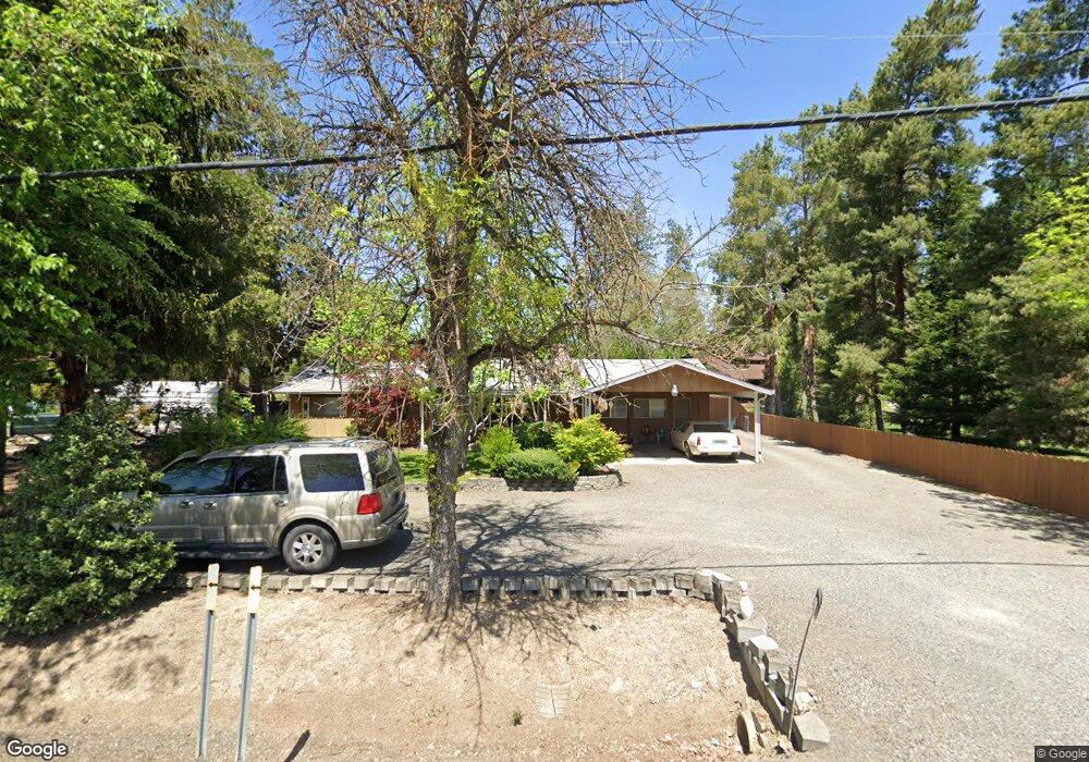
2394 Taylor Rd Central Point, OR 97502
Estimated Value: $458,000 - $469,000
3
Beds
2
Baths
1,782
Sq Ft
$261/Sq Ft
Est. Value
About This Home
This home is located at 2394 Taylor Rd, Central Point, OR 97502 and is currently estimated at $464,483, approximately $260 per square foot. 2394 Taylor Rd is a home located in Jackson County with nearby schools including Richardson Elementary School, Scenic Middle School, and Crater High School.
Ownership History
Date
Name
Owned For
Owner Type
Purchase Details
Closed on
Jun 26, 2003
Sold by
Eddings Robert and Eddings Ruby
Bought by
Brown Neil F
Current Estimated Value
Home Financials for this Owner
Home Financials are based on the most recent Mortgage that was taken out on this home.
Original Mortgage
$151,200
Outstanding Balance
$62,576
Interest Rate
5.37%
Mortgage Type
Purchase Money Mortgage
Estimated Equity
$401,907
Create a Home Valuation Report for This Property
The Home Valuation Report is an in-depth analysis detailing your home's value as well as a comparison with similar homes in the area
Purchase History
We collect this data history from publicly available records. To have your information removed, we recommend requesting removal directly through your county’s website.
| Date | Buyer | Sale Price | Title Company |
|---|---|---|---|
| Brown Neil F | $189,000 | First Amer Title Ins Co Of O |
Source: Public Records
Mortgage History
We collect this data history from publicly available records. To have your information removed, we recommend requesting removal directly through your county’s website.
| Date | Status | Borrower | Loan Amount |
|---|---|---|---|
| Open | Brown Neil F | $151,200 |
Source: Public Records
Tax History
| Year | Tax Paid | Tax Assessment Tax Assessment Total Assessment is a certain percentage of the fair market value that is determined by local assessors to be the total taxable value of land and additions on the property. | Land | Improvement |
|---|---|---|---|---|
| 2026 | $3,240 | $265,430 | -- | -- |
| 2025 | $3,166 | $257,700 | $132,070 | $125,630 |
| 2024 | $3,166 | $250,200 | $114,210 | $135,990 |
| 2023 | $3,061 | $242,920 | $110,890 | $132,030 |
| 2022 | $2,996 | $242,920 | $110,890 | $132,030 |
| 2021 | $2,911 | $235,850 | $107,660 | $128,190 |
| 2020 | $2,826 | $228,990 | $104,520 | $124,470 |
| 2019 | $2,761 | $215,860 | $98,520 | $117,340 |
| 2018 | $2,675 | $209,580 | $95,650 | $113,930 |
| 2017 | $2,612 | $209,580 | $95,650 | $113,930 |
| 2016 | $2,536 | $197,560 | $90,150 | $107,410 |
| 2015 | $2,418 | $197,560 | $90,150 | $107,410 |
| 2014 | $2,360 | $186,230 | $84,980 | $101,250 |
Source: Public Records
Map
Nearby Homes
- 626 Griffin Oaks Dr
- 1019 Rustler Peak St
- 429 Mayberry Ln
- 1028 Buck Point St
- 50 Kathryn Ct
- 1043 Sandoz St
- 501 Palo Verde Way
- 10 Donna Way
- 570 Bachand Cir
- 120 Nadine Ln
- 1099 N Haskell St
- 359 Jans Ct
- 545 Diego Ct Unit 1
- 196 Nadine Ln
- 1301 River Run St
- 0 Boulder Ridge St
- 109 Vincent Ave
- 349 W Pine St
- 441 N 1st St
- 207 Holiday Ln
- 2384 Taylor Rd
- 2492 Taylor Rd
- 2376 Taylor Rd
- 4081 Carlton Ave
- 2496 Taylor Rd
- 4057 Carlton Ave
- 2338 Taylor Rd
- 4097 Carlton Ave
- 4038 Grant Rd
- 4035 Carlton Ave
- 4035 Carlton Ave
- 4131 Carlton Ave
- 331 Donna Way
- 4080 Grant Rd
- 337 Donna Way
- 4163 Carlton Ave
- 4080 Carlton Ave
- 4095 Sunland Ave
- 4102 Grant Rd
- 329 Donna Way
Your Personal Tour Guide
Ask me questions while you tour the home.