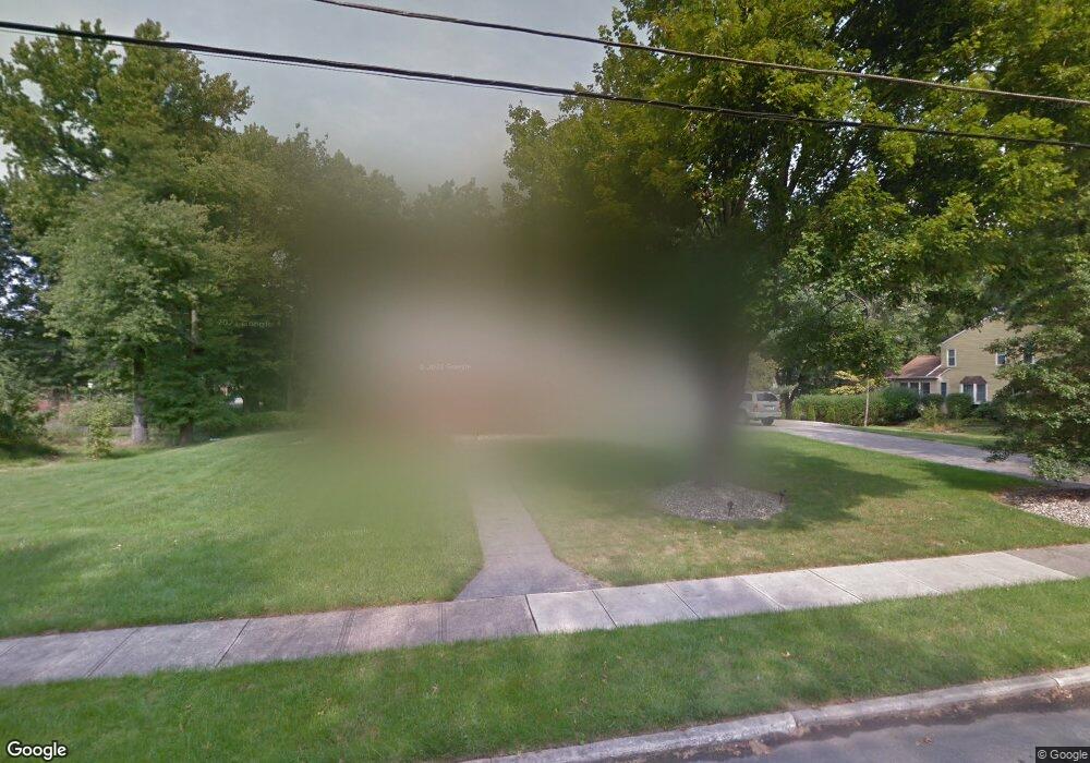
24 Brophy Dr Ewing, NJ 08638
Ewingville NeighborhoodEstimated Value: $601,000 - $709,000
About This Home
This home is located at 24 Brophy Dr, Ewing, NJ 08638 and is currently estimated at $638,466, approximately $283 per square foot. 24 Brophy Dr is a home located in Mercer County with nearby schools including Ewing High School, Trenton Stem-To-Civics Charter School, and Guidepost Montessori at Lawrenceville.
Ownership History
We collect this data history from publicly available records. To have your information removed, we recommend requesting removal directly through your county’s website.
Purchase Details
Home Financials for this Owner
Home Financials are based on the most recent Mortgage that was taken out on this home.Purchase Details
Purchase Details
Home Values in the Area
Average Home Value in this Area
Purchase History
We collect this data history from publicly available records. To have your information removed, we recommend requesting removal directly through your county’s website.
| Date | Buyer | Sale Price | Title Company |
|---|---|---|---|
| $380,000 | -- | ||
| -- | -- | ||
| $190,000 | -- |
Mortgage History
We collect this data history from publicly available records. To have your information removed, we recommend requesting removal directly through your county’s website.
| Date | Status | Borrower | Loan Amount |
|---|---|---|---|
| Open | $300,000 | ||
| Closed | $361,000 |
Tax History
We collect this data history from publicly available records. To have your information removed, we recommend requesting removal directly through your county’s website.
| Year | Tax Paid | Tax Assessment Tax Assessment Total Assessment is a certain percentage of the fair market value that is determined by local assessors to be the total taxable value of land and additions on the property. | Land | Improvement |
|---|---|---|---|---|
| 2026 | $13,899 | $343,100 | $96,600 | $246,500 |
| 2025 | $13,899 | $343,100 | $96,600 | $246,500 |
| 2024 | $12,684 | $343,100 | $96,600 | $246,500 |
| 2023 | $12,684 | $343,100 | $96,600 | $246,500 |
| 2022 | $12,341 | $343,100 | $96,600 | $246,500 |
| 2021 | $12,039 | $343,100 | $96,600 | $246,500 |
| 2020 | $9,519 | $275,200 | $96,600 | $178,600 |
| 2019 | $9,271 | $275,200 | $96,600 | $178,600 |
| 2018 | $9,898 | $187,400 | $60,300 | $127,100 |
| 2017 | $10,129 | $187,400 | $60,300 | $127,100 |
| 2016 | $9,992 | $187,400 | $60,300 | $127,100 |
| 2015 | $9,859 | $187,400 | $60,300 | $127,100 |
| 2014 | $9,833 | $187,400 | $60,300 | $127,100 |
Map
- 2232 Pennington Rd
- 2164 Pennington Rd
- 2148 Pennington Rd
- 19 Farm Rd
- 118 Bull Run Rd
- 201 Moore Ct
- 5 Rumson Ct
- 407 Denow Rd
- 18 Rockland Rd
- 20 Rockland Rd
- 408 Amberleigh Dr
- 25 Navesink Dr
- 526 Timberlake Dr
- 305 Amberleigh Dr
- 632 Timberlake Dr
- 627 Timberlake Dr
- 203 Castleton Ct
- 107 Upper Ferry Rd
- 4 Dorothea Terrace
- 314 Masterson Ct
- 22 Brophy Dr
- 26 Brophy Dr
- 12 Primrose Place
- 20 Brophy Dr
- 180 Bull Run Rd
- 4 Sparrow Ct
- 28 Brophy Dr
- 21 Brophy Dr
- 9 Primrose Place
- 10 Honeywood Ln
- 18 Brophy Dr
- 10 Primrose Place
- 192 Bull Run Rd
- 165 Bull Run Rd
- 169 Bull Run Rd
- 13 Honeywood Ln
- 8 Honeywood Ln
- 11 Honeywood Ln
- 30 Brophy Dr
- 7 Primrose Place
Ask me questions while you tour the home.