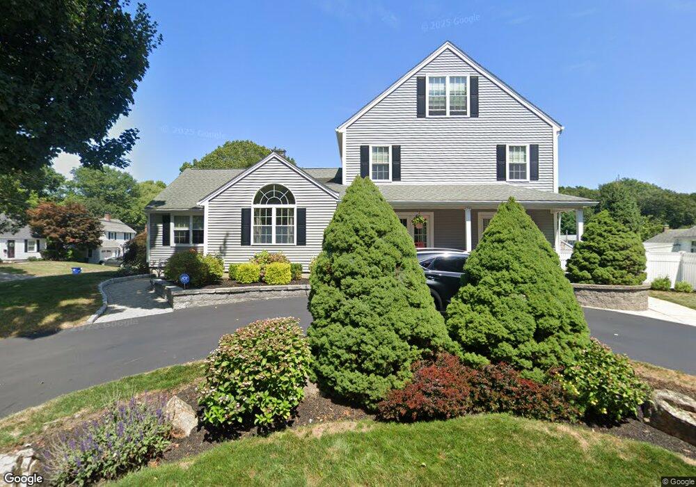
24 Cypress St Braintree, MA 02184
East Braintree NeighborhoodEstimated Value: $939,000 - $1,339,000
2
Beds
1
Bath
3,542
Sq Ft
$329/Sq Ft
Est. Value
About This Home
This home is located at 24 Cypress St, Braintree, MA 02184 and is currently estimated at $1,164,489, approximately $328 per square foot. 24 Cypress St is a home located in Norfolk County with nearby schools including Braintree High School, Sacred Heart Elementary School, and Step Ahead Kindergarten.
Ownership History
Date
Name
Owned For
Owner Type
Purchase Details
Closed on
Mar 6, 2024
Sold by
Stewart Lisa
Bought by
Lisa Stewart T and Lisa Stewart
Current Estimated Value
Purchase Details
Closed on
Feb 24, 1997
Sold by
Dillon Ellen Ab
Bought by
Stewart Lisa
Create a Home Valuation Report for This Property
The Home Valuation Report is an in-depth analysis detailing your home's value as well as a comparison with similar homes in the area
Home Values in the Area
Average Home Value in this Area
Purchase History
| Date | Buyer | Sale Price | Title Company |
|---|---|---|---|
| Lisa Stewart T | -- | None Available | |
| Stewart Lisa | $145,000 | -- | |
| Stewart Lisa | $145,000 | -- |
Source: Public Records
Mortgage History
| Date | Status | Borrower | Loan Amount |
|---|---|---|---|
| Previous Owner | Stewart Lisa | $100,000 | |
| Previous Owner | Stewart Lisa | $267,550 | |
| Previous Owner | Stewart Lisa | $285,000 |
Source: Public Records
Tax History
| Year | Tax Paid | Tax Assessment Tax Assessment Total Assessment is a certain percentage of the fair market value that is determined by local assessors to be the total taxable value of land and additions on the property. | Land | Improvement |
|---|---|---|---|---|
| 2025 | $10,238 | $1,025,900 | $345,400 | $680,500 |
| 2024 | $9,261 | $976,900 | $318,200 | $658,700 |
| 2023 | $8,911 | $913,000 | $290,900 | $622,100 |
| 2022 | $8,722 | $876,600 | $254,500 | $622,100 |
| 2021 | $8,114 | $815,500 | $230,000 | $585,500 |
| 2020 | $7,835 | $794,600 | $209,100 | $585,500 |
| 2019 | $7,371 | $730,500 | $209,100 | $521,400 |
| 2018 | $7,181 | $681,300 | $181,800 | $499,500 |
| 2017 | $6,983 | $650,200 | $172,700 | $477,500 |
| 2016 | $6,718 | $611,800 | $163,600 | $448,200 |
| 2015 | $6,530 | $589,900 | $160,000 | $429,900 |
| 2014 | $6,123 | $536,200 | $139,100 | $397,100 |
Source: Public Records
Map
Nearby Homes
- 18 Hobart St
- 300 Commercial St Unit 23
- 599 Union St
- 82 Cotton Ave
- 54 Edgemont Rd
- 140 Commercial St
- 30 Skyline Dr Unit 6
- 14 Hillside Rd
- 37 Skyline Dr Unit 11
- 41 Lantern Ln
- 37 Lantern Ln
- 25 W Howard St Unit C3
- 15 Bower Rd Unit F9
- 67 Trefton Dr
- 87 Arborway Dr
- 36 Chestnut Ave
- 17 White Rd
- 149 Glenrose Ave
- 200 Falls Blvd Unit E101
- 200 Falls Blvd Unit B305
Your Personal Tour Guide
Ask me questions while you tour the home.