24 Deer Path Unit 2 Maynard, MA 01754
Estimated Value: $463,839 - $498,000
2
Beds
2
Baths
1,586
Sq Ft
$303/Sq Ft
Est. Value
About This Home
This home is located at 24 Deer Path Unit 2, Maynard, MA 01754 and is currently estimated at $480,710, approximately $303 per square foot. 24 Deer Path Unit 2 is a home located in Middlesex County with nearby schools including Green Meadow School, Fowler School, and Maynard High School.
Ownership History
Date
Name
Owned For
Owner Type
Purchase Details
Closed on
Aug 4, 2005
Sold by
West James F and West Michele P
Bought by
Hooton David
Current Estimated Value
Home Financials for this Owner
Home Financials are based on the most recent Mortgage that was taken out on this home.
Original Mortgage
$220,000
Outstanding Balance
$115,346
Interest Rate
5.63%
Mortgage Type
Purchase Money Mortgage
Estimated Equity
$365,364
Purchase Details
Closed on
Sep 7, 1999
Sold by
Est Hiltz Paula M and Laskey Karen H
Bought by
West James F and Panik Michele
Home Financials for this Owner
Home Financials are based on the most recent Mortgage that was taken out on this home.
Original Mortgage
$133,600
Interest Rate
7.5%
Mortgage Type
Purchase Money Mortgage
Purchase Details
Closed on
Oct 19, 1994
Sold by
Rkk Dev Corp
Bought by
Hiltz Paula M
Create a Home Valuation Report for This Property
The Home Valuation Report is an in-depth analysis detailing your home's value as well as a comparison with similar homes in the area
Home Values in the Area
Average Home Value in this Area
Purchase History
| Date | Buyer | Sale Price | Title Company |
|---|---|---|---|
| Hooton David | $311,000 | -- | |
| West James F | $167,000 | -- | |
| Hiltz Paula M | $129,435 | -- |
Source: Public Records
Mortgage History
| Date | Status | Borrower | Loan Amount |
|---|---|---|---|
| Open | Hooton David | $220,000 | |
| Previous Owner | Hiltz Paula M | $133,600 |
Source: Public Records
Tax History
| Year | Tax Paid | Tax Assessment Tax Assessment Total Assessment is a certain percentage of the fair market value that is determined by local assessors to be the total taxable value of land and additions on the property. | Land | Improvement |
|---|---|---|---|---|
| 2025 | $7,572 | $424,700 | $0 | $424,700 |
| 2024 | $7,079 | $395,900 | $0 | $395,900 |
| 2023 | $6,873 | $362,300 | $0 | $362,300 |
| 2022 | $6,486 | $316,100 | $0 | $316,100 |
| 2021 | $5,914 | $293,500 | $0 | $293,500 |
| 2020 | $6,083 | $294,700 | $0 | $294,700 |
| 2019 | $5,580 | $265,200 | $0 | $265,200 |
| 2018 | $5,459 | $241,100 | $0 | $241,100 |
| 2017 | $5,111 | $232,200 | $0 | $232,200 |
| 2016 | $4,934 | $232,200 | $0 | $232,200 |
| 2015 | $4,538 | $203,400 | $0 | $203,400 |
| 2014 | $4,179 | $187,500 | $0 | $187,500 |
Source: Public Records
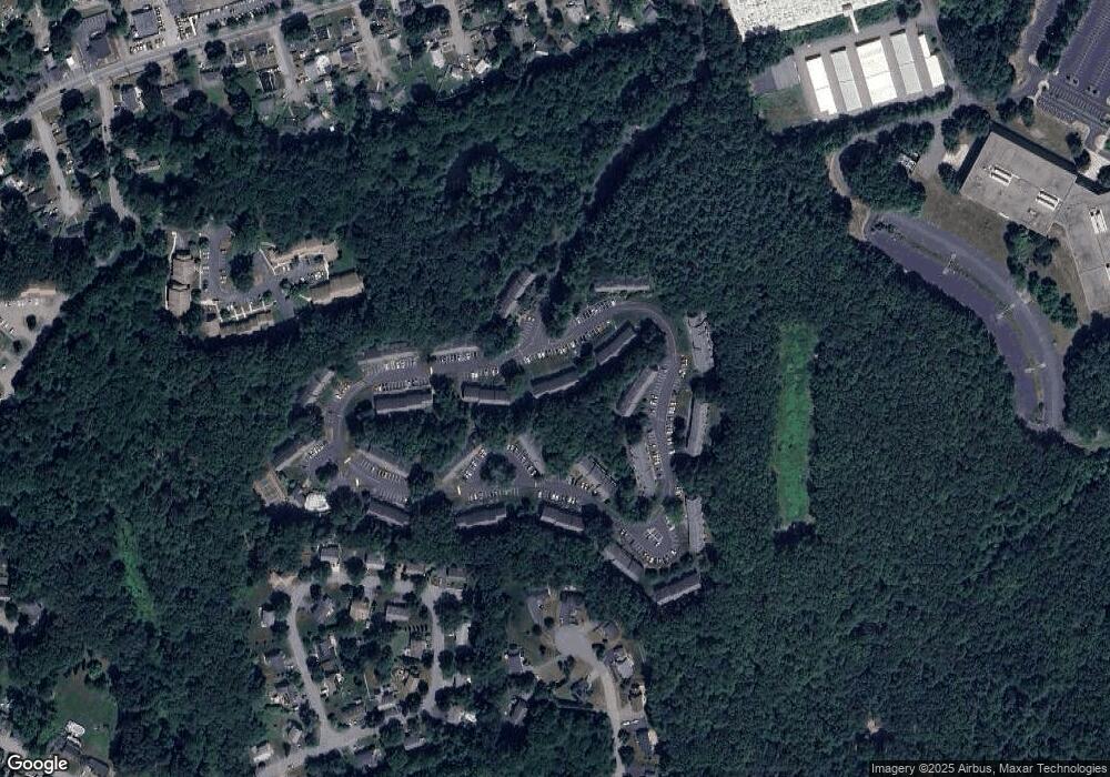
Map
Nearby Homes
- 9 Deer Path Unit 5
- 70 Powder Mill Rd
- 11 Ethelyn Cir
- 62 Waltham St
- 22 Douglas Ave Unit 2
- 22 Douglas Ave Unit 1
- 5 Hayes St Unit 5
- 35 Roosevelt St Unit 37
- 13 Arthur St Unit 15
- 2 Wall Ct
- 1 Carlton Dr
- 8 Harrison St
- 2 Bancroft St
- 96 Forest Ridge Rd Unit 96
- 36 Brown St
- 8 Snowberry Ln
- 38 Fairfield St
- 15 Old Marlboro Rd
- 1 Walker St
- 9 Fairfield St
- 12 Deer Path Unit 5-12
- 24 Deer Path Unit 6
- 24 Deer Path Unit 4
- 24 Deer Path Unit 3
- 24 Deer Path Unit 1
- 23 Deer Path Unit 7
- 23 Deer Path Unit 6
- 23 Deer Path Unit 4
- 23 Deer Path Unit 3
- 23 Deer Path Unit 2
- 23 Deer Path Unit 1
- 20 Deer Path Unit 7
- 20 Deer Path Unit 6
- 20 Deer Path Unit 4
- 20 Deer Path Unit 3
- 20 Deer Path Unit 2
- 20 Deer Path Unit 1
- 18 Deer Path Unit 7
- 18 Deer Path Unit 6
- 18 Deer Path Unit 5
Your Personal Tour Guide
Ask me questions while you tour the home.