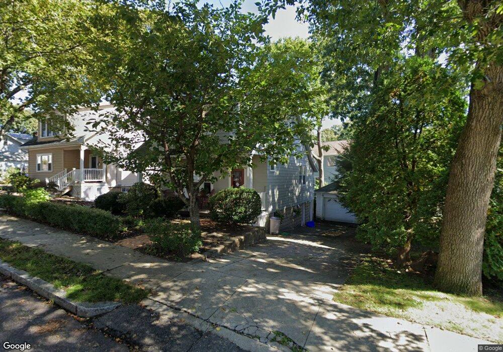
24 Lanark Rd Arlington, MA 02476
Arlington Heights NeighborhoodEstimated Value: $818,000 - $925,101
3
Beds
2
Baths
1,323
Sq Ft
$654/Sq Ft
Est. Value
About This Home
This home is located at 24 Lanark Rd, Arlington, MA 02476 and is currently estimated at $864,775, approximately $653 per square foot. 24 Lanark Rd is a home located in Middlesex County with nearby schools including Dallin Elementary School, Ottoson Middle School, and Arlington High School.
Ownership History
Date
Name
Owned For
Owner Type
Purchase Details
Closed on
Nov 13, 2006
Sold by
Aladjem Peter M
Bought by
Homza Anne
Current Estimated Value
Purchase Details
Closed on
Oct 30, 1992
Sold by
Darzen Ronald R and Darzen Holly S
Bought by
Aladjem Peter M
Home Financials for this Owner
Home Financials are based on the most recent Mortgage that was taken out on this home.
Original Mortgage
$128,000
Interest Rate
7.85%
Mortgage Type
Purchase Money Mortgage
Create a Home Valuation Report for This Property
The Home Valuation Report is an in-depth analysis detailing your home's value as well as a comparison with similar homes in the area
Home Values in the Area
Average Home Value in this Area
Purchase History
| Date | Buyer | Sale Price | Title Company |
|---|---|---|---|
| Homza Anne | -- | -- | |
| Aladjem Peter M | $183,000 | -- |
Source: Public Records
Mortgage History
| Date | Status | Borrower | Loan Amount |
|---|---|---|---|
| Previous Owner | Aladjem Peter M | $129,000 | |
| Previous Owner | Aladjem Peter M | $128,000 |
Source: Public Records
Tax History
| Year | Tax Paid | Tax Assessment Tax Assessment Total Assessment is a certain percentage of the fair market value that is determined by local assessors to be the total taxable value of land and additions on the property. | Land | Improvement |
|---|---|---|---|---|
| 2025 | $8,254 | $766,400 | $426,300 | $340,100 |
| 2024 | $7,629 | $720,400 | $410,300 | $310,100 |
| 2023 | $7,635 | $681,100 | $383,700 | $297,400 |
| 2022 | $7,343 | $643,000 | $373,000 | $270,000 |
| 2021 | $7,205 | $635,400 | $373,000 | $262,400 |
| 2020 | $7,028 | $635,400 | $373,000 | $262,400 |
| 2019 | $6,676 | $592,900 | $367,700 | $225,200 |
| 2018 | $6,157 | $507,600 | $282,400 | $225,200 |
| 2017 | $6,174 | $491,600 | $266,400 | $225,200 |
| 2016 | $6,020 | $470,300 | $245,100 | $225,200 |
| 2015 | $5,993 | $442,300 | $229,100 | $213,200 |
Source: Public Records
Map
Nearby Homes
- 62 Nicod St
- 44 Piedmont St
- 10 Dow Ave
- 122 Sylvia St
- 4 Aerial St
- 64 Browning Rd
- 211 Florence Ave
- 120 Massachusetts Ave Unit 120
- 8 Colonial Village Dr Unit 3
- 451 Appleton St
- 7 Park Avenue Extension
- 23 Tucker Ave
- 14 Albemarle Ave
- 1 Watermill Place Unit 316
- 53 Birch Hill Rd
- 21 Montague St
- 11 Lowell St Unit B
- 37 Fountain Rd Unit 2
- 52 Albemarle Ave
- 160 Cedar Ave
Your Personal Tour Guide
Ask me questions while you tour the home.