Estimated Value: $948,523 - $1,013,000
4
Beds
3
Baths
2,334
Sq Ft
$415/Sq Ft
Est. Value
About This Home
This home is located at 24 Lothrop Rd, Acton, MA 01720 and is currently estimated at $968,881, approximately $415 per square foot. 24 Lothrop Rd is a home located in Middlesex County with nearby schools including Acton-Boxborough Regional High School, Maynard Knowledge Beginnings, and The Imago School.
Ownership History
Date
Name
Owned For
Owner Type
Purchase Details
Closed on
Feb 5, 2004
Sold by
Sutherland Donna L and Sutherland Ronald E
Bought by
Sutherland Donna L and Sutherland Ronald E
Current Estimated Value
Purchase Details
Closed on
Mar 28, 1986
Bought by
Sutherland Ft
Create a Home Valuation Report for This Property
The Home Valuation Report is an in-depth analysis detailing your home's value as well as a comparison with similar homes in the area
Home Values in the Area
Average Home Value in this Area
Purchase History
| Date | Buyer | Sale Price | Title Company |
|---|---|---|---|
| Sutherland Donna L | -- | -- | |
| Sutherland Ft | $257,000 | -- |
Source: Public Records
Mortgage History
| Date | Status | Borrower | Loan Amount |
|---|---|---|---|
| Previous Owner | Sutherland Ft | $60,000 | |
| Previous Owner | Sutherland Ft | $133,200 |
Source: Public Records
Tax History
| Year | Tax Paid | Tax Assessment Tax Assessment Total Assessment is a certain percentage of the fair market value that is determined by local assessors to be the total taxable value of land and additions on the property. | Land | Improvement |
|---|---|---|---|---|
| 2025 | $14,716 | $858,100 | $343,700 | $514,400 |
| 2024 | $13,756 | $825,200 | $343,700 | $481,500 |
| 2023 | $13,411 | $763,700 | $312,500 | $451,200 |
| 2022 | $12,687 | $652,300 | $271,700 | $380,600 |
| 2021 | $12,375 | $611,700 | $251,300 | $360,400 |
| 2020 | $11,860 | $616,400 | $251,300 | $365,100 |
| 2019 | $11,310 | $583,900 | $251,300 | $332,600 |
| 2018 | $11,112 | $573,400 | $251,300 | $322,100 |
| 2017 | $10,830 | $568,200 | $251,300 | $316,900 |
| 2016 | $10,776 | $560,400 | $251,300 | $309,100 |
| 2015 | $10,512 | $551,800 | $251,300 | $300,500 |
| 2014 | $10,163 | $522,500 | $251,300 | $271,200 |
Source: Public Records
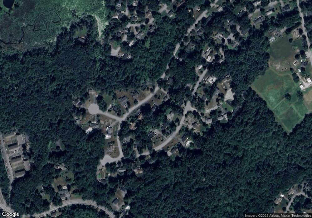
Map
Nearby Homes
- 184 Main St Unit 3
- 182 Main St Unit 4
- 131 Main St
- 6 Beacon Ct
- 90 Willow St Unit 1
- 12 Joseph Reed Ln
- 92 Willow St Unit 3
- 92 Willow St Unit 2
- 235 Arlington St
- 20 Joseph Reed Ln
- 40 High St
- 631 Massachusetts Ave Unit 631
- 70 River St
- 130 Arlington St
- 1 Vanderbelt Rd
- 18 Hayward Rd
- 5 Perkins Ln
- 7 Mohawk Dr
- 112 High St
- 46 Taylor Rd
Your Personal Tour Guide
Ask me questions while you tour the home.