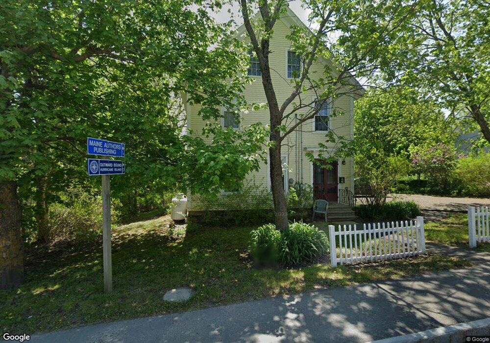
24 Main St Unit 2 Thomaston, ME 04861
Estimated Value: $385,752 - $441,000
2
Beds
1
Bath
1,400
Sq Ft
$293/Sq Ft
Est. Value
About This Home
This home is located at 24 Main St Unit 2, Thomaston, ME 04861 and is currently estimated at $409,688, approximately $292 per square foot. 24 Main St Unit 2 is a home located in Knox County with nearby schools including Thomaston Grammar School, Oceanside High School East, and Midcoast STEAM Microschool.
Ownership History
Date
Name
Owned For
Owner Type
Purchase Details
Closed on
Sep 4, 2012
Sold by
Machias Savings Bank
Bought by
Pensco T Co
Current Estimated Value
Purchase Details
Closed on
Jun 7, 2012
Sold by
M & G Rl Est Dev Llc
Bought by
Machias Savings Bank
Create a Home Valuation Report for This Property
The Home Valuation Report is an in-depth analysis detailing your home's value as well as a comparison with similar homes in the area
Home Values in the Area
Average Home Value in this Area
Purchase History
| Date | Buyer | Sale Price | Title Company |
|---|---|---|---|
| Pensco T Co | -- | -- | |
| Machias Savings Bank | -- | -- |
Source: Public Records
Tax History
| Year | Tax Paid | Tax Assessment Tax Assessment Total Assessment is a certain percentage of the fair market value that is determined by local assessors to be the total taxable value of land and additions on the property. | Land | Improvement |
|---|---|---|---|---|
| 2025 | $5,901 | $265,200 | $94,200 | $171,000 |
| 2024 | $5,304 | $265,200 | $94,200 | $171,000 |
| 2023 | $5,012 | $265,211 | $94,232 | $170,979 |
| 2022 | $4,872 | $223,262 | $94,232 | $129,030 |
| 2021 | $4,807 | $223,262 | $94,232 | $129,030 |
| 2020 | $4,918 | $223,262 | $94,232 | $129,030 |
| 2019 | $4,985 | $223,262 | $94,232 | $129,030 |
| 2018 | $4,673 | $223,262 | $94,232 | $129,030 |
| 2017 | $4,331 | $223,262 | $94,232 | $129,030 |
| 2016 | $4,171 | $223,262 | $94,232 | $129,030 |
| 2015 | $4,025 | $223,262 | $94,232 | $129,030 |
| 2014 | $4,281 | $257,246 | $128,216 | $129,030 |
| 2013 | $4,306 | $257,246 | $128,216 | $129,030 |
Source: Public Records
Map
Nearby Homes
- 76 Fish St
- 52 Main St
- 27 Lawrence Ave
- 57 Beechwood St
- 145 Main St
- 102 Beechwood St
- 7 Watts Ln
- 104 Beechwood St
- 117 Beechwood St
- 31 Booker St Unit 4
- 18 Booker St
- 56 Booker St
- 482 Main St
- 15 Wadsworth St
- 26 Clark St
- Lot 151 Dunbar Rd
- 52 Ledge Rd
- 50 Woodledge Ln
- Lot 9 Aspen Dr
- 000 Atlantic Highway Map 4 Lot 24
Your Personal Tour Guide
Ask me questions while you tour the home.