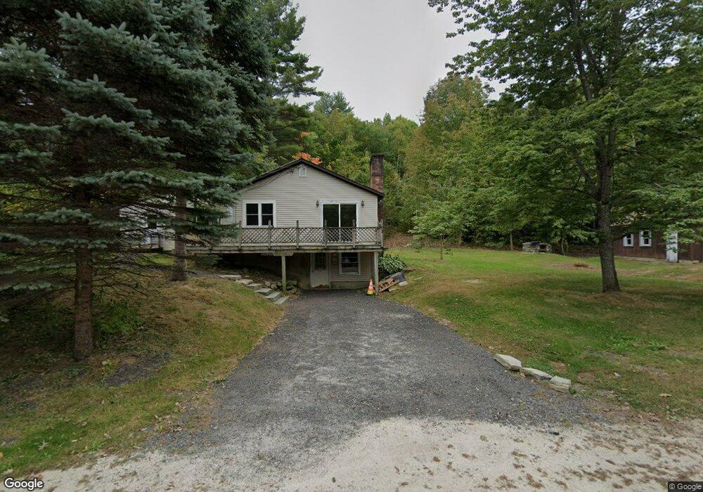
24 Range Rd New Gloucester, ME 04260
New Gloucester AreaEstimated Value: $212,000 - $322,000
About This Home
This home is located at 24 Range Rd, New Gloucester, ME 04260 and is currently estimated at $267,262, approximately $239 per square foot. 24 Range Rd is a home located in Cumberland County with nearby schools including Gray-New Gloucester High School.
Ownership History
We collect this data history from publicly available records. To have your information removed, we recommend requesting removal directly through your county’s website.
Purchase Details
Home Financials for this Owner
Home Financials are based on the most recent Mortgage that was taken out on this home.Home Values in the Area
Average Home Value in this Area
Purchase History
We collect this data history from publicly available records. To have your information removed, we recommend requesting removal directly through your county’s website.
| Date | Buyer | Sale Price | Title Company |
|---|---|---|---|
| -- | -- |
Mortgage History
We collect this data history from publicly available records. To have your information removed, we recommend requesting removal directly through your county’s website.
| Date | Status | Borrower | Loan Amount |
|---|---|---|---|
| Open | $345,000 | ||
| Closed | $114,000 | ||
| Closed | $112,000 | ||
| Closed | $95,000 |
Tax History
We collect this data history from publicly available records. To have your information removed, we recommend requesting removal directly through your county’s website.
| Year | Tax Paid | Tax Assessment Tax Assessment Total Assessment is a certain percentage of the fair market value that is determined by local assessors to be the total taxable value of land and additions on the property. | Land | Improvement |
|---|---|---|---|---|
| 2025 | $2,487 | $160,748 | $61,840 | $98,908 |
| 2024 | $2,394 | $160,748 | $61,840 | $98,908 |
| 2023 | $2,297 | $160,748 | $61,840 | $98,908 |
| 2022 | $2,218 | $160,748 | $61,840 | $98,908 |
| 2021 | $2,218 | $160,748 | $61,840 | $98,908 |
| 2020 | $2,194 | $160,748 | $61,840 | $98,908 |
| 2019 | $2,405 | $142,300 | $56,500 | $85,800 |
| 2018 | $2,248 | $142,300 | $56,500 | $85,800 |
| 2017 | $2,220 | $142,300 | $56,500 | $85,800 |
| 2016 | $2,092 | $142,300 | $56,500 | $85,800 |
| 2015 | $2,085 | $142,300 | $56,500 | $85,800 |
| 2014 | $2,063 | $142,300 | $56,500 | $85,800 |
| 2013 | $1,914 | $142,300 | $56,500 | $85,800 |
Map
- 436 Lot A Foster Rd
- 436 Lot B Foster Rd
- 10-56 C&E Bowdoin Way
- 42 Birchwood Ln
- Map3Lot9E Torrey Rd
- 46A/47Dpar Maine St
- 46-47D Hines Rd & Main St
- 22 Snow Hill Rd
- 795Lot #3 Empire Rd
- 21 Bald Hill Rd
- 56 Simplicity Way
- 494 Snow Hill Rd
- 42 Birch Dr
- 55 Birch Dr
- 55 Birch Dr
- 38 Harvest Hill Ln Unit 38
- 16 Harvest Hill Ln Unit 2
- 14 Harvest Hill Ln Unit 1
- 241 E Hardscrabble Rd
- 71 Amy St
- 20 Range Rd
- 29 Range Rd
- 30 Range Rd
- 568 Bald Hill Rd
- 0 Range Rd
- 598 Bald Hill Rd
- 569 Bald Hill Rd
- 581 Bald Hill Rd
- 8 Vivian Verrill Rd
- 19 Vivian Verrill Rd
- 567 Bald Hill Rd
- 607 Bald Hill Rd
- 526 Bald Hill Rd
- 626 Bald Hill Rd
- 76 Range Rd
- 75 Range Rd
- 508 Bald Hill Rd
- 501 Bald Hill Rd
- 94 Range Rd
- 632 Bald Hill Rd
Ask me questions while you tour the home.