Estimated Value: $435,000 - $494,000
4
Beds
5
Baths
2,002
Sq Ft
$230/Sq Ft
Est. Value
About This Home
This home is located at 240 Michael Dr, Troy, IL 62294 and is currently estimated at $459,991, approximately $229 per square foot. 240 Michael Dr is a home located in Madison County with nearby schools including Silver Creek Elementary School, Triad Middle School, and Triad High School.
Ownership History
Date
Name
Owned For
Owner Type
Purchase Details
Closed on
Aug 31, 2004
Sold by
Droy Randall and Droy Cynthia E
Bought by
Gammon Kathryn Ann
Current Estimated Value
Home Financials for this Owner
Home Financials are based on the most recent Mortgage that was taken out on this home.
Original Mortgage
$212,000
Outstanding Balance
$107,056
Interest Rate
6.17%
Mortgage Type
Purchase Money Mortgage
Estimated Equity
$352,935
Create a Home Valuation Report for This Property
The Home Valuation Report is an in-depth analysis detailing your home's value as well as a comparison with similar homes in the area
Purchase History
| Date | Buyer | Sale Price | Title Company |
|---|---|---|---|
| Gammon Kathryn Ann | $265,000 | Abstracts & Titles Inc |
Source: Public Records
Mortgage History
| Date | Status | Borrower | Loan Amount |
|---|---|---|---|
| Open | Gammon Kathryn Ann | $212,000 | |
| Closed | Gammon Kathryn Ann | $13,000 |
Source: Public Records
Tax History
| Year | Tax Paid | Tax Assessment Tax Assessment Total Assessment is a certain percentage of the fair market value that is determined by local assessors to be the total taxable value of land and additions on the property. | Land | Improvement |
|---|---|---|---|---|
| 2024 | $8,230 | $140,490 | $27,570 | $112,920 |
| 2023 | $8,230 | $128,310 | $25,180 | $103,130 |
| 2022 | $7,632 | $116,340 | $22,830 | $93,510 |
| 2021 | $6,933 | $109,980 | $21,580 | $88,400 |
| 2020 | $6,862 | $106,190 | $20,840 | $85,350 |
| 2019 | $6,803 | $104,580 | $20,520 | $84,060 |
| 2018 | $6,713 | $98,400 | $19,310 | $79,090 |
| 2017 | $6,485 | $95,040 | $18,650 | $76,390 |
| 2016 | $6,319 | $95,040 | $18,650 | $76,390 |
| 2015 | $5,801 | $91,970 | $18,050 | $73,920 |
| 2014 | $5,801 | $91,970 | $18,050 | $73,920 |
| 2013 | $5,801 | $91,970 | $18,050 | $73,920 |
Source: Public Records
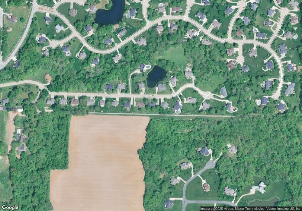
Map
Nearby Homes
- 2335 Staunton Rd
- 532 Taake Ln
- 313 Old Homestead Dr
- 531 Taake Ln
- 8627 Lower Marine Rd
- 2281 Staunton Rd
- 2261 Staunton Rd
- 2265 Staunton Rd
- 2289 Staunton Rd
- 2285 Staunton Rd
- 2277 Staunton Rd
- 0 Lower Marine Rd Unit MIS25066224
- 2141 Willow Creek
- 8739 Wendell Creek Dr
- Tbd Lower Marine Rd
- xxx Lower Marine Rd
- 8748 Wendell Creek Dr
- 618 Meadowlark St
- 208 E Throp St
- 3 Price Dr
- 244 Michael Dr
- 236 Michael Dr
- 237 Michael Dr
- 248 Michael Dr
- 233 Michael Dr
- 232 Michael Dr
- 241 Michael Dr
- 252 Michael Dr
- 225 Michael Dr
- 228 Michael Dr
- 229 Michael Dr
- 249 Michael Dr
- 221 Michael Dr
- 256 Michael Dr
- 224 Michael Dr
- 124 Oakland Dr
- 253 Michael Dr
- 217 Michael Dr
- 590 Berkshire Dr
- 116 Oakland Dr
Your Personal Tour Guide
Ask me questions while you tour the home.