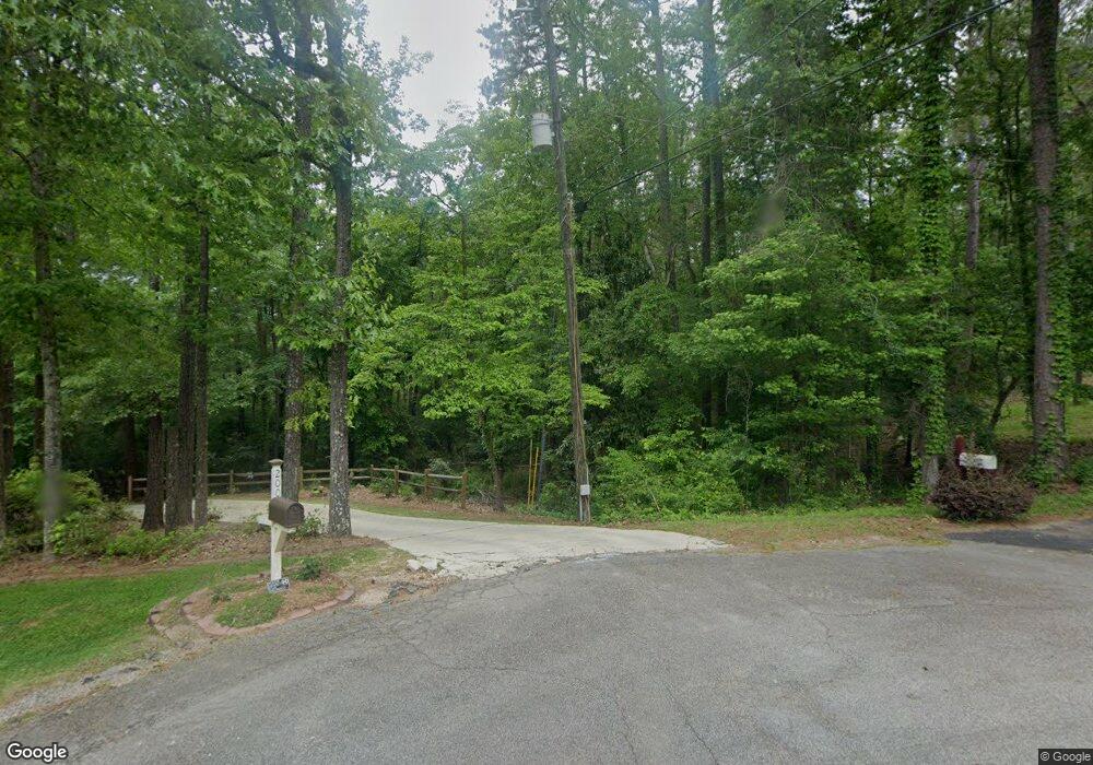
2401 New Franklin Rd Lagrange, GA 30240
Estimated Value: $310,044
Studio
--
Bath
--
Sq Ft
1,658,329
Sq Ft Lot
About This Home
This home is located at 2401 New Franklin Rd, Lagrange, GA 30240 and is currently estimated at $310,044. 2401 New Franklin Rd is a home located in Troup County with nearby schools including Hillcrest Elementary School, Franklin Forest Elementary School, and Hollis Hand Elementary School.
Ownership History
Date
Name
Owned For
Owner Type
Purchase Details
Closed on
Nov 8, 2019
Sold by
Massengale James M
Bought by
Fuller E Callaway Foundation
Current Estimated Value
Purchase Details
Closed on
Jul 17, 2017
Sold by
Massengale June Carol
Bought by
Massengale James M Trustee
Purchase Details
Closed on
Jul 21, 1978
Bought by
Howard E Massengale
Purchase Details
Closed on
Dec 6, 1976
Purchase Details
Closed on
Jan 1, 1972
Create a Home Valuation Report for This Property
The Home Valuation Report is an in-depth analysis detailing your home's value as well as a comparison with similar homes in the area
Purchase History
| Date | Buyer | Sale Price | Title Company |
|---|---|---|---|
| Fuller E Callaway Foundation | $178,416 | -- | |
| Massengale James M Trustee | -- | -- | |
| Howard E Massengale | -- | -- | |
| -- | -- | -- | |
| -- | -- | -- |
Source: Public Records
Tax History
| Year | Tax Paid | Tax Assessment Tax Assessment Total Assessment is a certain percentage of the fair market value that is determined by local assessors to be the total taxable value of land and additions on the property. | Land | Improvement |
|---|---|---|---|---|
| 2025 | $3,182 | $116,680 | $116,680 | $0 |
| 2024 | $3,182 | $116,680 | $116,680 | $0 |
| 2023 | $3,182 | $116,680 | $116,680 | $0 |
| 2022 | $1,525 | $54,640 | $54,640 | $0 |
| 2021 | $2,085 | $69,120 | $69,120 | $0 |
| 2020 | $1,707 | $69,120 | $69,120 | $0 |
| 2019 | $1,894 | $62,800 | $62,800 | $0 |
| 2018 | $1,894 | $62,800 | $62,800 | $0 |
| 2017 | $1,895 | $62,846 | $62,846 | $0 |
| 2016 | $1,895 | $62,846 | $62,846 | $0 |
| 2015 | $1,899 | $62,846 | $62,846 | $0 |
| 2014 | $1,902 | $62,846 | $62,846 | $0 |
| 2013 | -- | $62,846 | $62,846 | $0 |
Source: Public Records
Map
Nearby Homes
- 203 N View Pointe Dr
- 207 N View Pointe Dr
- 203 View Pointe Ln
- 24 N Brooks Rd
- 104 Canterbury Dr
- 100 Canterbury Dr
- 102 Canterbury Dr
- 209 River Oaks Dr
- 405 Canterbury Dr
- 101 Sheffield Dr
- 205 River Oaks Dr
- 109 Windridge
- 0 Waterview Dr Unit 10558462
- 107 Windridge
- 103 Windridge
- 91 Richmond Dr
- 178 Waterview Dr
- 64 Waterview Ct
- 114 Red Oak Trail
- 103 Woodchase
- 201 N View Pointe Dr
- 200 N View Pointe Dr
- 202 N View Pointe Dr
- 101 View Pointe Dr
- 103 View Pointe Dr
- 105 View Pointe Dr
- 107 View Pointe Dr
- 113 View Pointe Dr
- 204 N View Pointe Dr
- 204 N View Pointe Dr
- 115 View Pointe Dr
- N View Pointe Dr
- 117 View Pointe Dr
- 108 Roy Stallings Rd
- 100 View Pointe Dr
- 206 N View Pointe Dr
- 102 View Pointe Dr
- 119 View Pointe Dr
- 211 N View Pointe Dr
- 208 N View Pointe Dr
Your Personal Tour Guide
Ask me questions while you tour the home.