241 Powell Rd Springfield, PA 19064
Estimated Value: $330,000 - $390,000
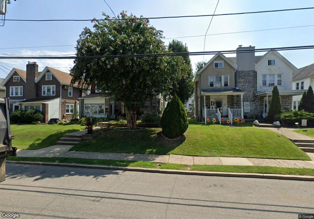
About This Home
This home is located at 241 Powell Rd, Springfield, PA 19064 and is currently estimated at $353,637, approximately $283 per square foot. 241 Powell Rd is a home located in Delaware County with nearby schools including Springfield High School, St Francis Of Assisi School, and Holy Cross School.
Ownership History
We collect this data history from publicly available records. To have your information removed, we recommend requesting removal directly through your county’s website.
Purchase Details
Purchase Details
Home Financials for this Owner
Home Financials are based on the most recent Mortgage that was taken out on this home.Home Values in the Area
Average Home Value in this Area
Purchase History
We collect this data history from publicly available records. To have your information removed, we recommend requesting removal directly through your county’s website.
| Date | Buyer | Sale Price | Title Company |
|---|---|---|---|
| -- | T A Title Insurance Company | ||
| $113,000 | Commonwealth Land Title Ins |
Mortgage History
We collect this data history from publicly available records. To have your information removed, we recommend requesting removal directly through your county’s website.
| Date | Status | Borrower | Loan Amount |
|---|---|---|---|
| Open | $112,935 |
Tax History
We collect this data history from publicly available records. To have your information removed, we recommend requesting removal directly through your county’s website.
| Year | Tax Paid | Tax Assessment Tax Assessment Total Assessment is a certain percentage of the fair market value that is determined by local assessors to be the total taxable value of land and additions on the property. | Land | Improvement |
|---|---|---|---|---|
| 2026 | $5,935 | $198,030 | $89,840 | $108,190 |
| 2025 | $5,566 | $198,030 | $89,840 | $108,190 |
| 2024 | $5,566 | $198,030 | $89,840 | $108,190 |
| 2023 | $5,360 | $198,030 | $89,840 | $108,190 |
| 2022 | $5,244 | $198,030 | $89,840 | $108,190 |
| 2021 | $8,121 | $198,030 | $89,840 | $108,190 |
| 2020 | $4,981 | $109,930 | $43,160 | $66,770 |
| 2019 | $4,864 | $109,930 | $43,160 | $66,770 |
| 2018 | $4,795 | $109,930 | $0 | $0 |
| 2017 | $4,684 | $109,930 | $0 | $0 |
| 2016 | $603 | $109,930 | $0 | $0 |
| 2015 | $603 | $109,930 | $0 | $0 |
| 2014 | $603 | $109,930 | $0 | $0 |
Map
- 271 Ballymore Rd
- 320 Prospect Rd
- 231 E Woodland Ave
- 304 Carolee Cir
- 212 E Woodland Ave
- 311 Carolee Cir
- 306 Sedgewood Rd
- 225 Lynbrooke Rd
- 89 Saxer Ave
- 405 E Woodland Ave
- 465 Briarhill Rd
- 527 Saxer Ave
- 481 Maplewood Rd
- 217 E Thomson Ave
- 610 Saxer Ave
- 359 Spring Valley Rd
- 478 Granite Terrace
- 534 Maplewood Rd
- 122 Ashwood Rd
- 125 W Thomson Ave
- 252 Powell Rd
- 250 Powell Rd
- 254 Powell Rd
- 248 Powell Rd
- 256 Powell Rd
- 258 Powell Rd
- 244 Powell Rd
- 260 Powell Rd
- 242 Powell Rd
- 262 Powell Rd
- 240 Powell Rd
- 264 Powell Rd
- 269 Ballymore Rd
- 267 Ballymore Rd
- 265 Ballymore Rd
- 273 Ballymore Rd
- 263 Ballymore Rd
- 275 Ballymore Rd
- 266 Powell Rd
- 261 Ballymore Rd
Ask me questions while you tour the home.