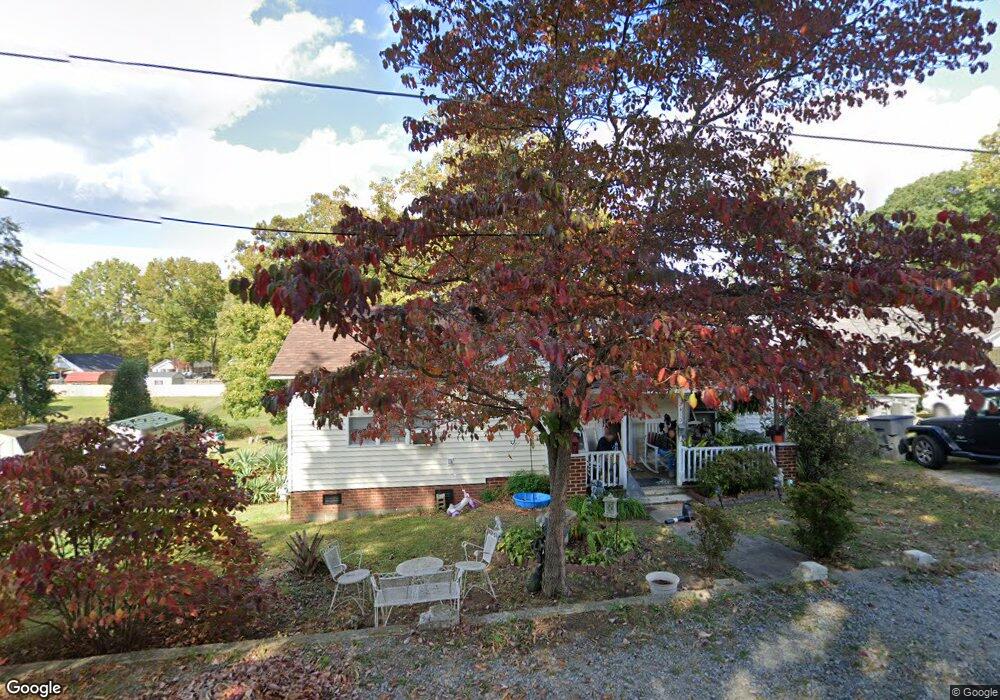
2410 Summit Ave Kannapolis, NC 28081
China Grove AreaEstimated Value: $223,859 - $233,000
About This Home
This home is located at 2410 Summit Ave, Kannapolis, NC 28081 and is currently estimated at $228,215, approximately $180 per square foot. 2410 Summit Ave is a home located in Rowan County with nearby schools including Landis Elementary School, Corriher Lipe Middle School, and South Rowan High School.
Ownership History
We collect this data history from publicly available records. To have your information removed, we recommend requesting removal directly through your county’s website.
Purchase Details
Purchase Details
Home Values in the Area
Average Home Value in this Area
Purchase History
We collect this data history from publicly available records. To have your information removed, we recommend requesting removal directly through your county’s website.
| Date | Buyer | Sale Price | Title Company |
|---|---|---|---|
| -- | None Listed On Document | ||
| -- | None Listed On Document | ||
| $12,500 | -- |
Tax History
We collect this data history from publicly available records. To have your information removed, we recommend requesting removal directly through your county’s website.
| Year | Tax Paid | Tax Assessment Tax Assessment Total Assessment is a certain percentage of the fair market value that is determined by local assessors to be the total taxable value of land and additions on the property. | Land | Improvement |
|---|---|---|---|---|
| 2025 | $1,455 | $120,226 | $37,125 | $83,101 |
| 2024 | $1,455 | $120,226 | $37,125 | $83,101 |
| 2023 | $1,455 | $120,226 | $37,125 | $83,101 |
| 2022 | $1,048 | $81,403 | $28,875 | $52,528 |
| 2021 | $1,048 | $81,403 | $28,875 | $52,528 |
| 2020 | $1,048 | $81,403 | $28,875 | $52,528 |
| 2019 | $1,048 | $81,403 | $28,875 | $52,528 |
| 2018 | $891 | $69,991 | $28,875 | $41,116 |
| 2017 | $891 | $69,991 | $28,875 | $41,116 |
| 2016 | $891 | $69,991 | $28,875 | $41,116 |
| 2015 | $905 | $69,991 | $28,875 | $41,116 |
| 2014 | $803 | $64,273 | $21,450 | $42,823 |
Map
- 303 Rice St
- 2407 N Main St
- 2200 Brookside Ave
- 2701 Glendale Ave
- 501 Snow St
- 2877 Vale Ave
- 490 Sand Dunes Dr Unit 71
- 201 E 27th St
- 403 E 21st St
- 204 E 27th St
- 410 Airport Rd Unit OLD
- 337 W 18th St
- 402 E 24th St
- 460 Sand Dunes Dr Unit 79
- 200 W 17th St
- 489 Sand Dunes Dr
- 613 Hot Springs Dr
- 301 W 18th St
- 612 Spring St SW
- 508 Sand Dunes Dr
- 2414 Summit Ave
- 2406 Summit Ave
- 2409 Summit Ave
- 211 Blackwelder Ave
- 209 Blackwelder Ave
- 2411 Summit Ave
- 2405 Summit Ave
- 2416 Summit Ave
- 2502 Brookside Ave
- 2407 Summit Ave
- 207 Blackwelder Ave
- 2405 Brookview Ave
- 215 Blackwelder Ave
- 205 Blackwelder Ave
- 2418 Summit Ave
- 2415 Summit Ave
- 203 Blackwelder Ave
- 208 Westview St
- 0 Snow St
- 208 Blackwelder Ave
Ask me questions while you tour the home.