2415 Lindair Dr Springfield, OH 45502
Estimated Value: $266,000 - $302,000
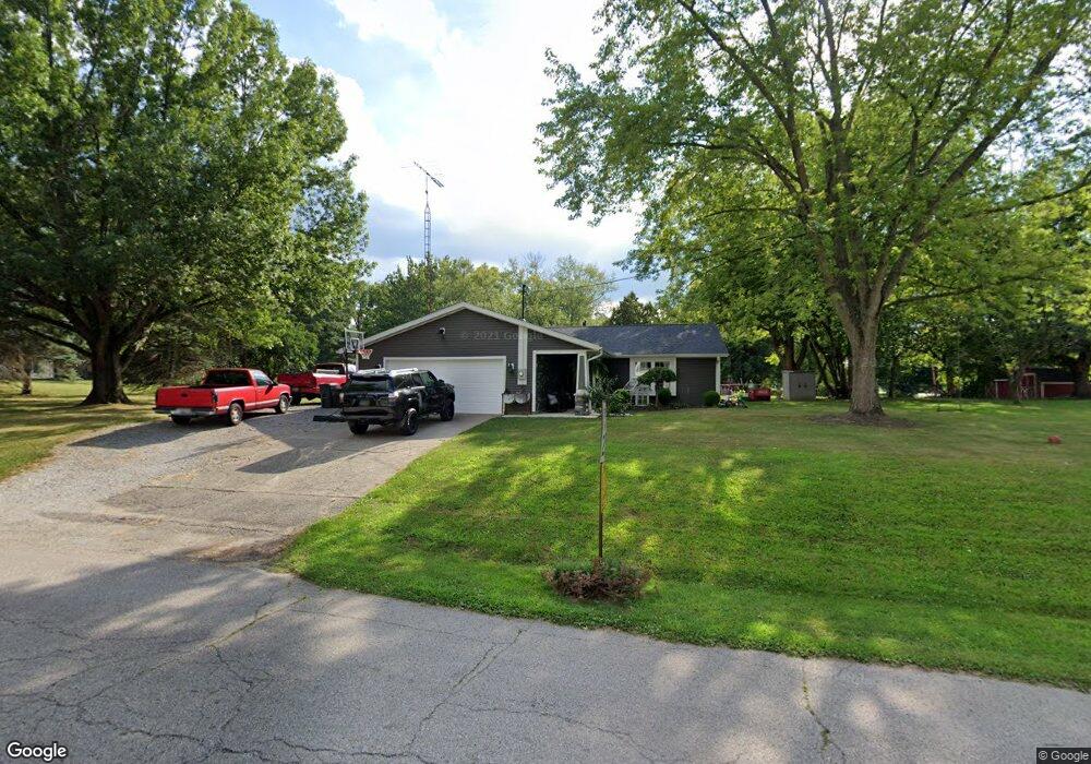
About This Home
This home is located at 2415 Lindair Dr, Springfield, OH 45502 and is currently estimated at $285,514, approximately $174 per square foot. 2415 Lindair Dr is a home located in Clark County with nearby schools including Greenon Elementary School, Greenon Jr. High School, and Greenon High School.
Ownership History
We collect this data history from publicly available records. To have your information removed, we recommend requesting removal directly through your county’s website.
Purchase Details
Home Financials for this Owner
Home Financials are based on the most recent Mortgage that was taken out on this home.Purchase Details
Home Financials for this Owner
Home Financials are based on the most recent Mortgage that was taken out on this home.Purchase History
We collect this data history from publicly available records. To have your information removed, we recommend requesting removal directly through your county’s website.
| Date | Buyer | Sale Price | Title Company |
|---|---|---|---|
| $117,000 | -- | ||
| -- | -- |
Mortgage History
We collect this data history from publicly available records. To have your information removed, we recommend requesting removal directly through your county’s website.
| Date | Status | Borrower | Loan Amount |
|---|---|---|---|
| Open | $100,800 | ||
| Previous Owner | $96,000 |
Tax History
We collect this data history from publicly available records. To have your information removed, we recommend requesting removal directly through your county’s website.
| Year | Tax Paid | Tax Assessment Tax Assessment Total Assessment is a certain percentage of the fair market value that is determined by local assessors to be the total taxable value of land and additions on the property. | Land | Improvement |
|---|---|---|---|---|
| 2025 | $3,201 | $79,640 | $18,090 | $61,550 |
| 2024 | $3,125 | $59,670 | $14,650 | $45,020 |
| 2023 | $3,125 | $59,670 | $14,650 | $45,020 |
| 2022 | $3,123 | $59,670 | $14,650 | $45,020 |
| 2021 | $2,600 | $44,110 | $11,540 | $32,570 |
| 2020 | $2,607 | $44,110 | $11,540 | $32,570 |
| 2019 | $2,642 | $44,110 | $11,540 | $32,570 |
| 2018 | $2,644 | $43,110 | $12,230 | $30,880 |
| 2017 | $2,650 | $40,359 | $12,229 | $28,130 |
| 2016 | $2,310 | $40,359 | $12,229 | $28,130 |
| 2015 | $2,246 | $39,670 | $11,540 | $28,130 |
| 2014 | $2,251 | $39,670 | $11,540 | $28,130 |
| 2013 | $1,980 | $39,670 | $11,540 | $28,130 |
Map
- 2693 Ehrhart Dr
- 303 E Main St
- 181 E Main St
- 141 N Xenia Dr
- 3183 Lower Valley Pike
- 316 S Tecumseh Rd
- 3190 Rebert Pike
- 4024 Raymond Dr
- 5031 W National Rd
- 6642 Southern Vista Dr
- 4354 Joy Dr
- 29 Gordon Rd
- 144 Matthews Ave
- 6978 Southern Vista Dr
- 344 Greenacres Dr
- 3319 Wendover St
- 4996 Shannon Ave
- 288 Gordon Rd
- 104 E Main St
- 3267 Lower Valley Pike Unit Tract 2
- 2464 Brookdale Dr
- 2416 Lindair Dr
- 2478 Brookdale Dr
- 2452 Brookdale Dr
- 5188 Dayton Springfield Rd
- 5218 Dayton Springfield Rd
- 2480 Brookdale Dr
- 2404 Brookdale Dr
- 2423 Brookdale Dr
- 2485 Brookdale Dr
- 2501 Ehrhart Dr
- 2514 Brookdale Dr
- 2390 Brookdale Dr
- 5265 Dayton Springfield Rd
- 2407 Brookdale Dr
- 2505 Brookdale Dr
- 5020 Dayton Springfield Rd
- 5254 Dayton Springfield Rd
- 2523 Ehrhart Dr
- 2523 Brookdale Dr
Ask me questions while you tour the home.